
Wilbraham market snapshot
Calculated by INNOVATE Real Estate from MLS-sourced listing data for Wilbraham, refreshed nightly -- updated Oct 21, 2026.
Currently for sale in Wilbraham
See all 106 →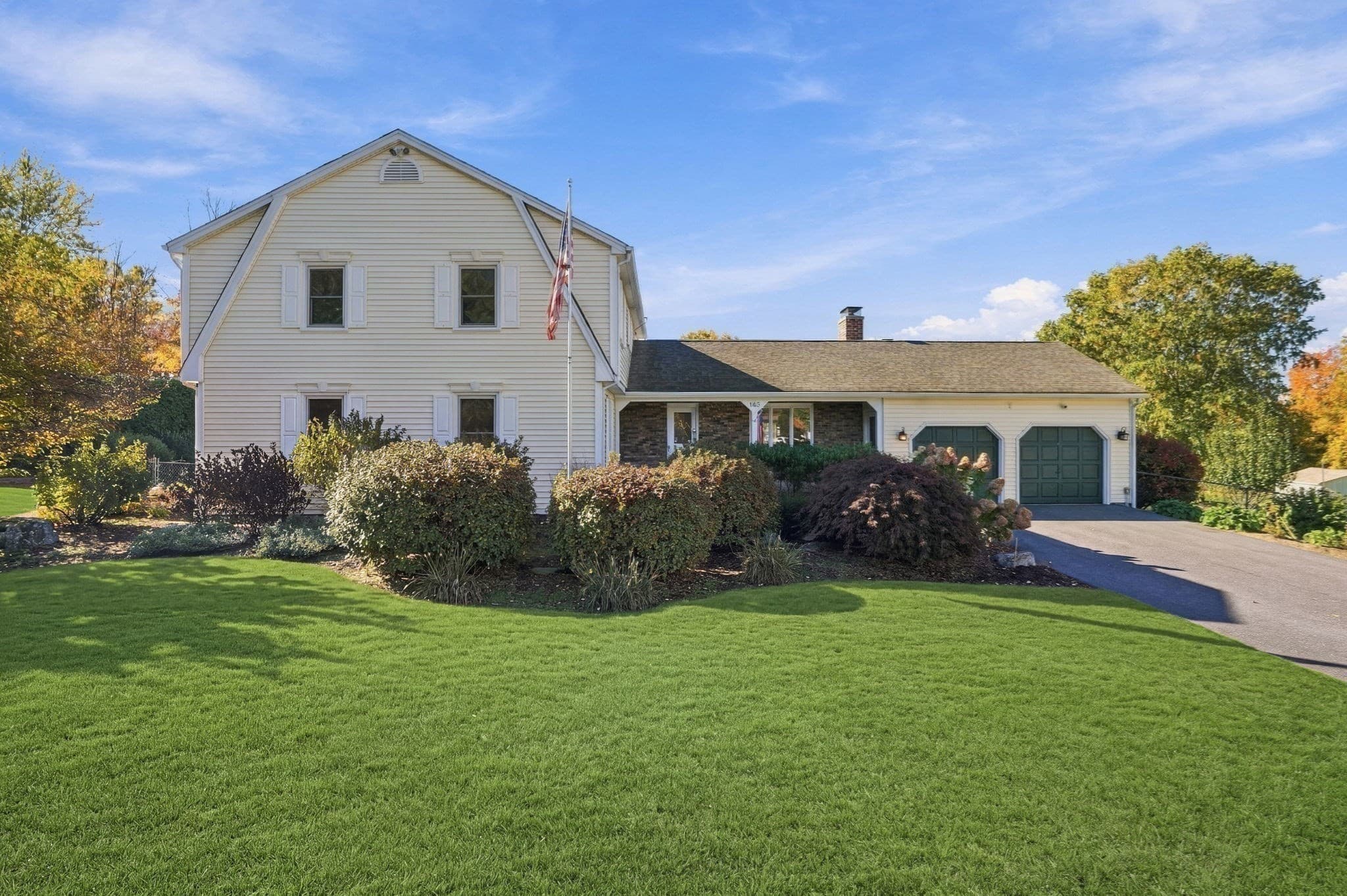
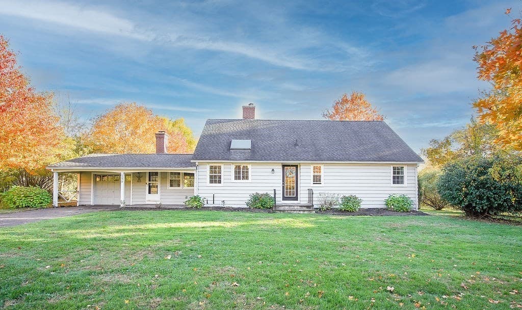
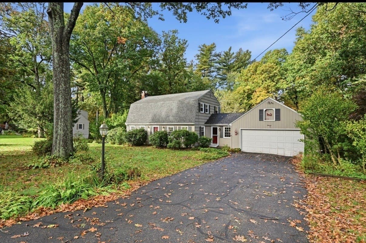
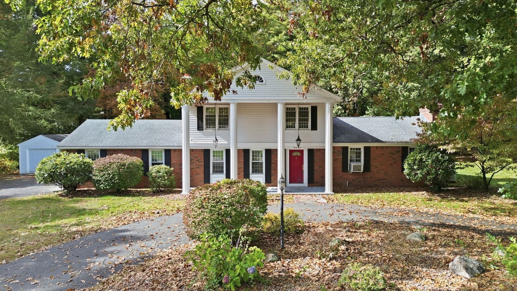
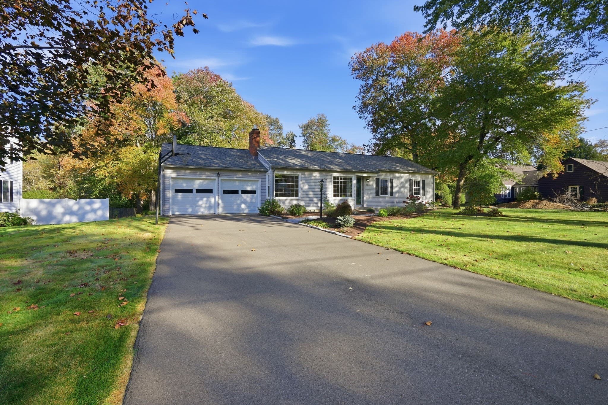
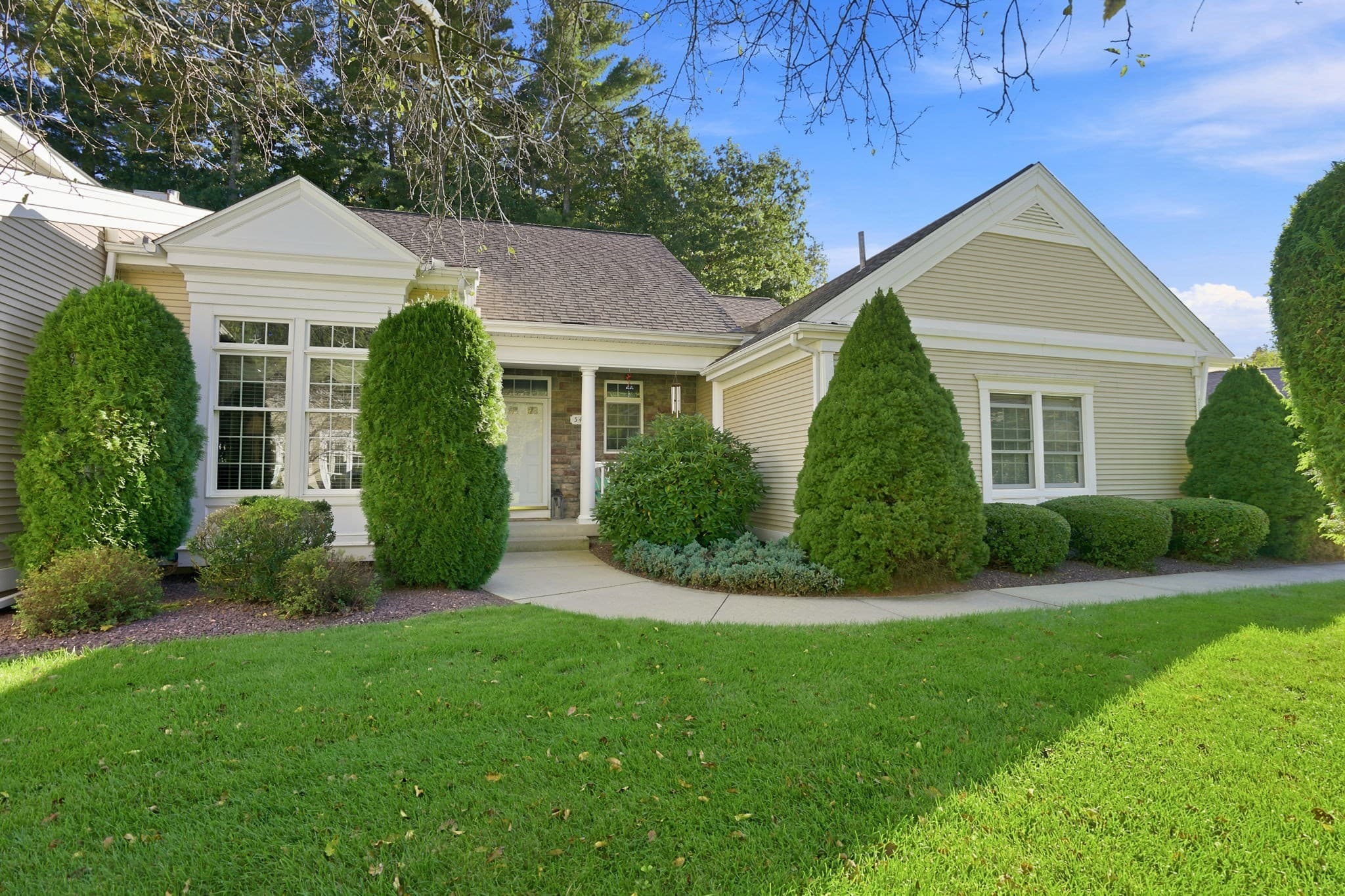
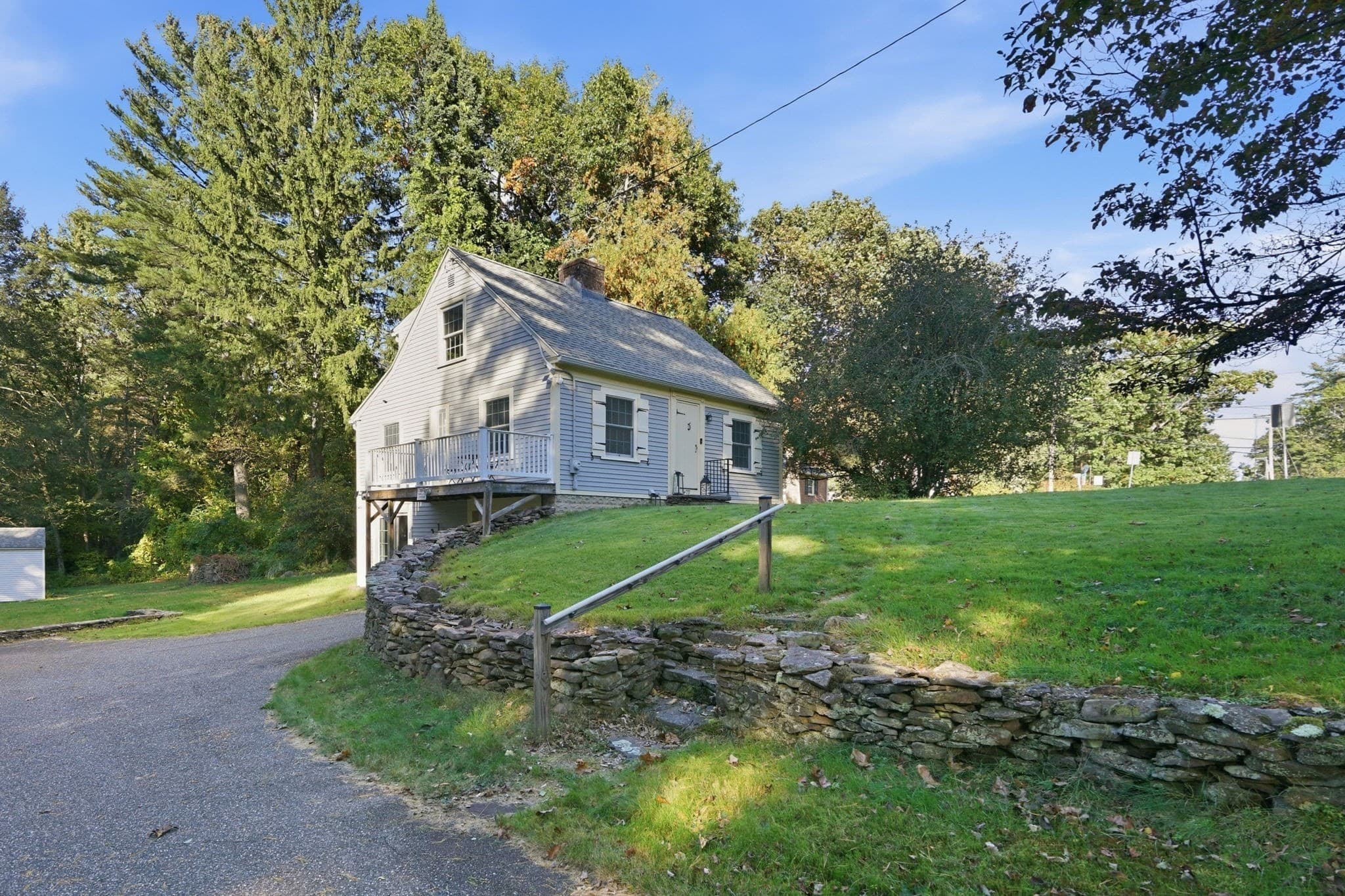
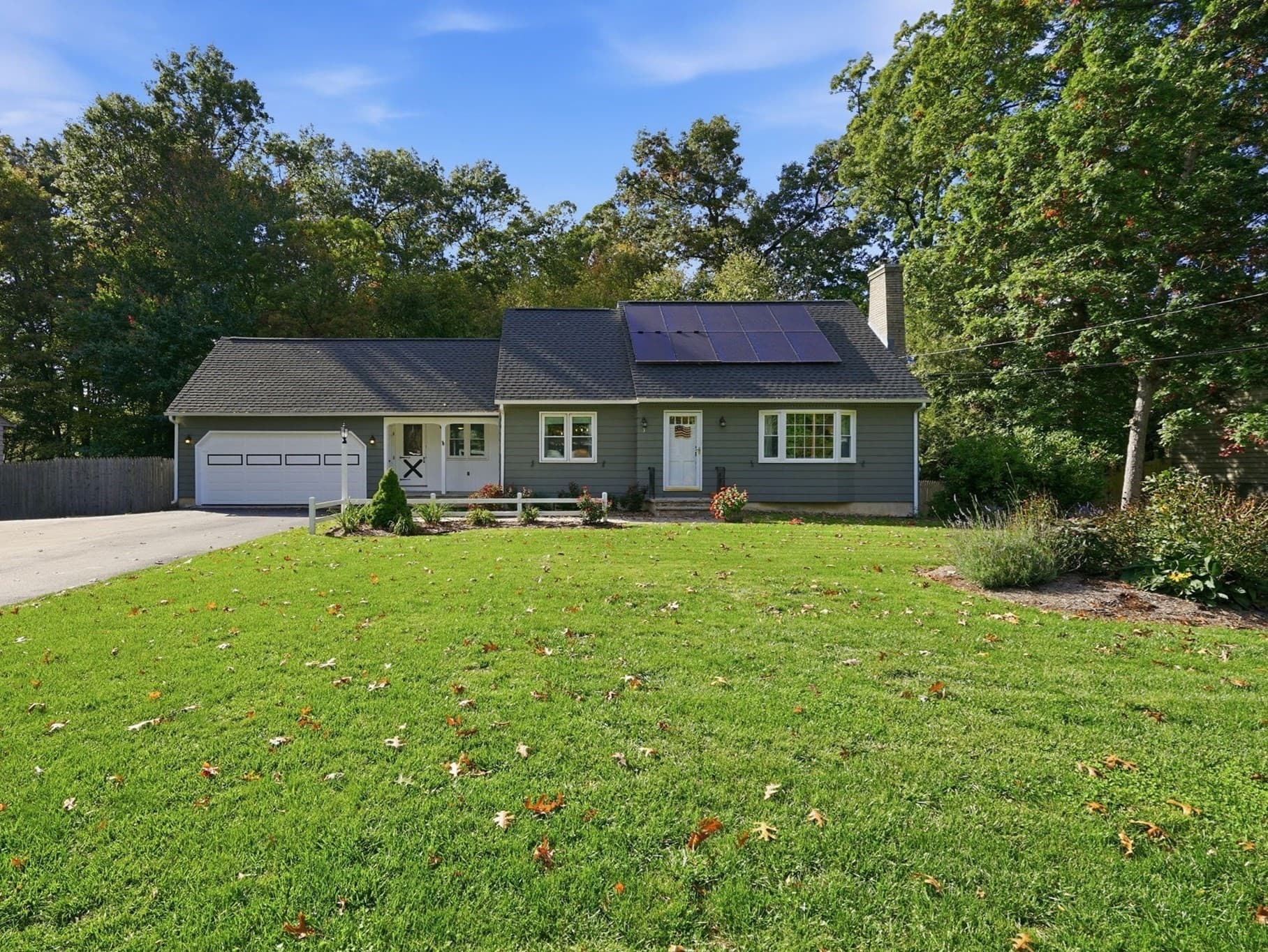
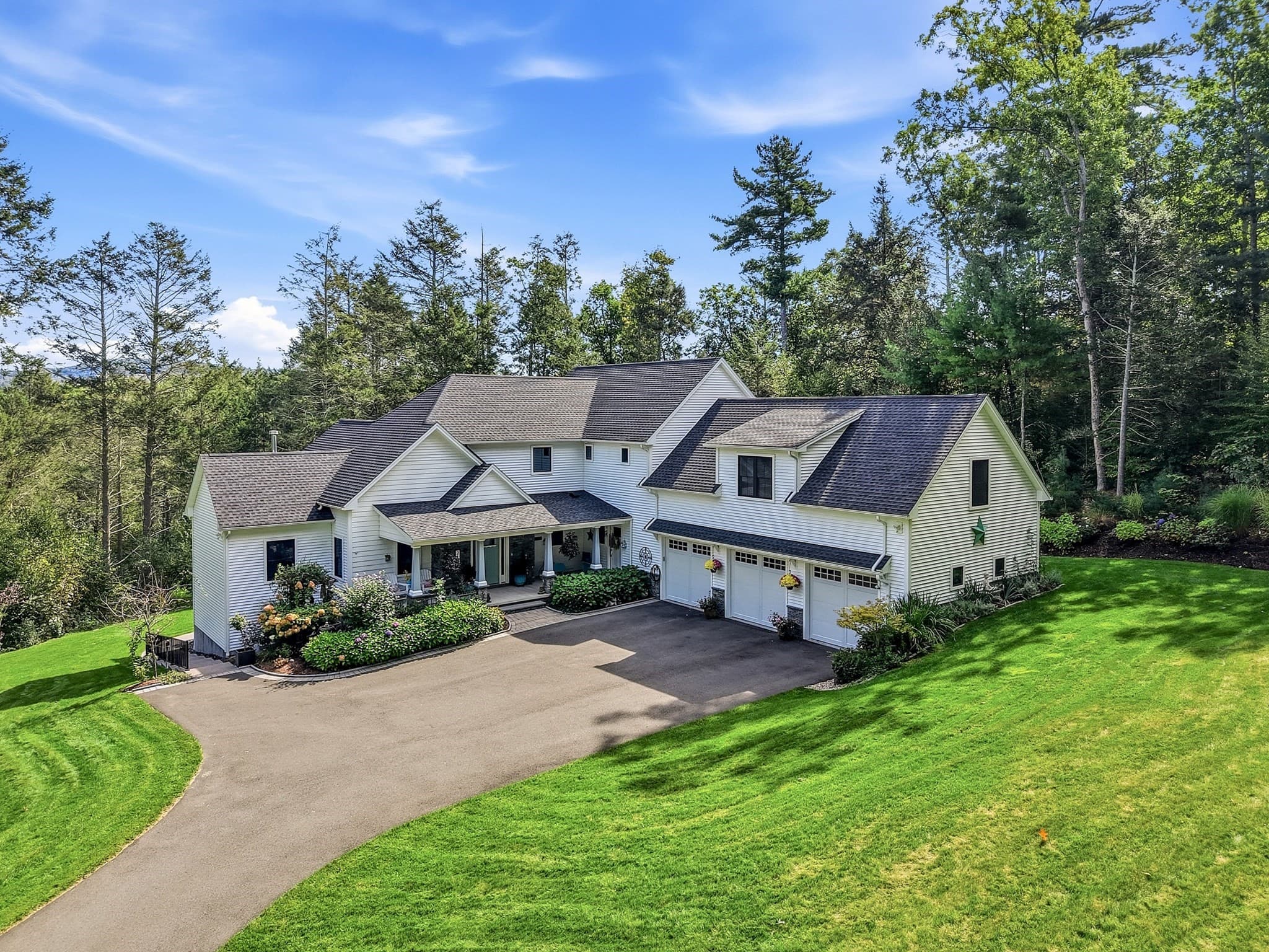
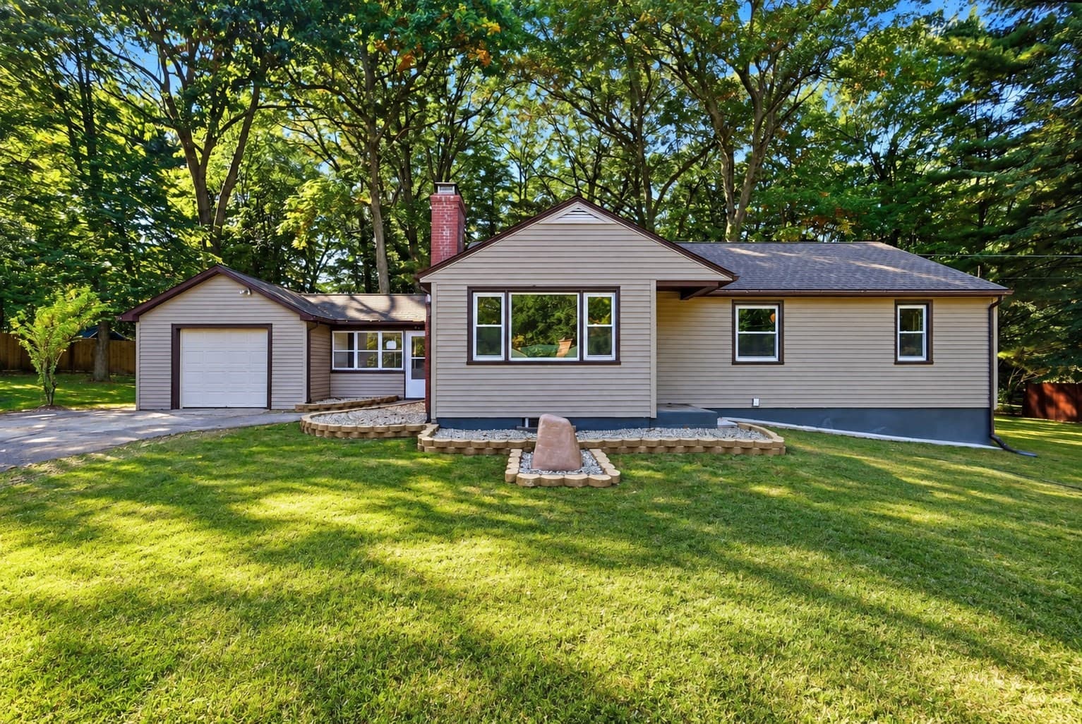
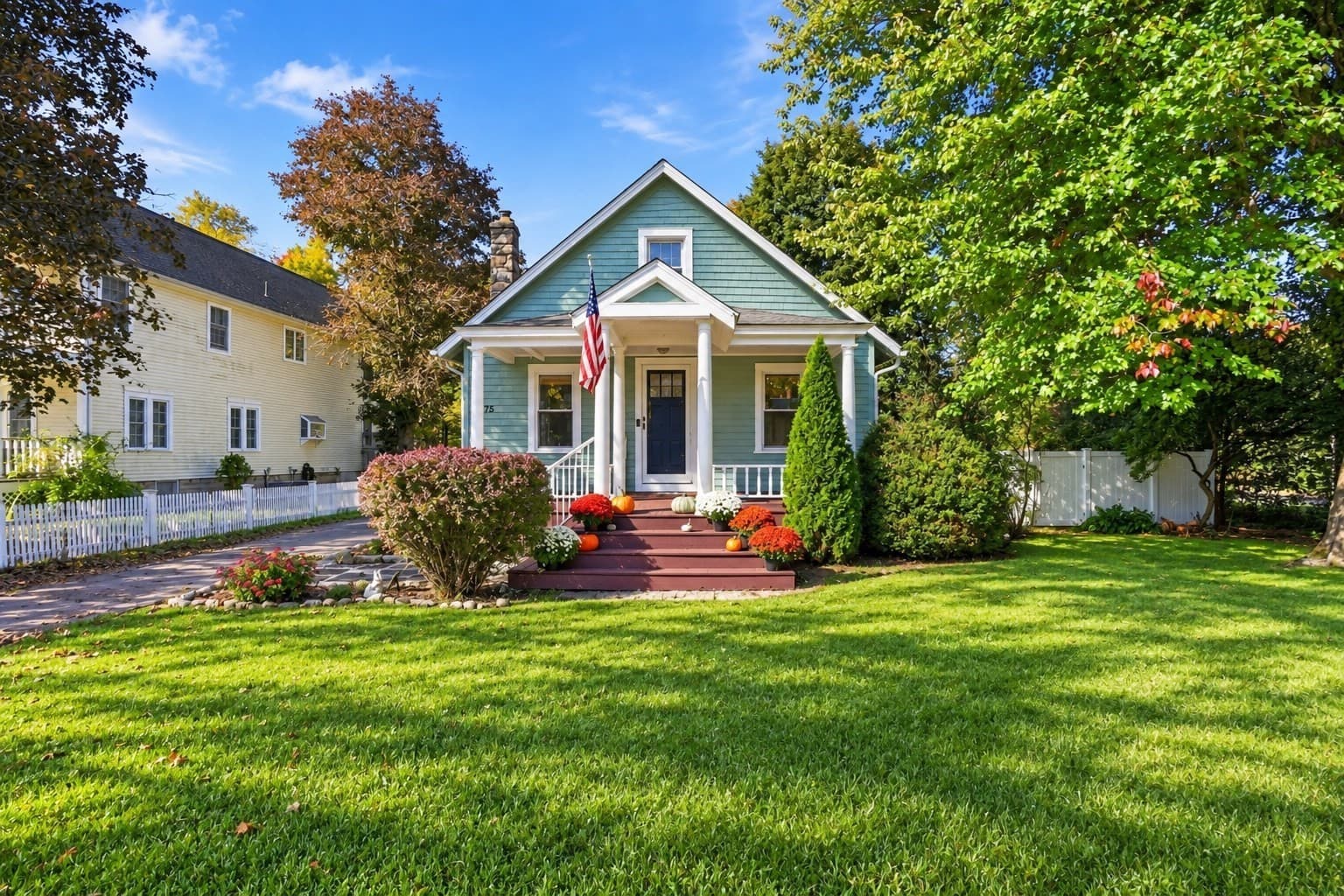
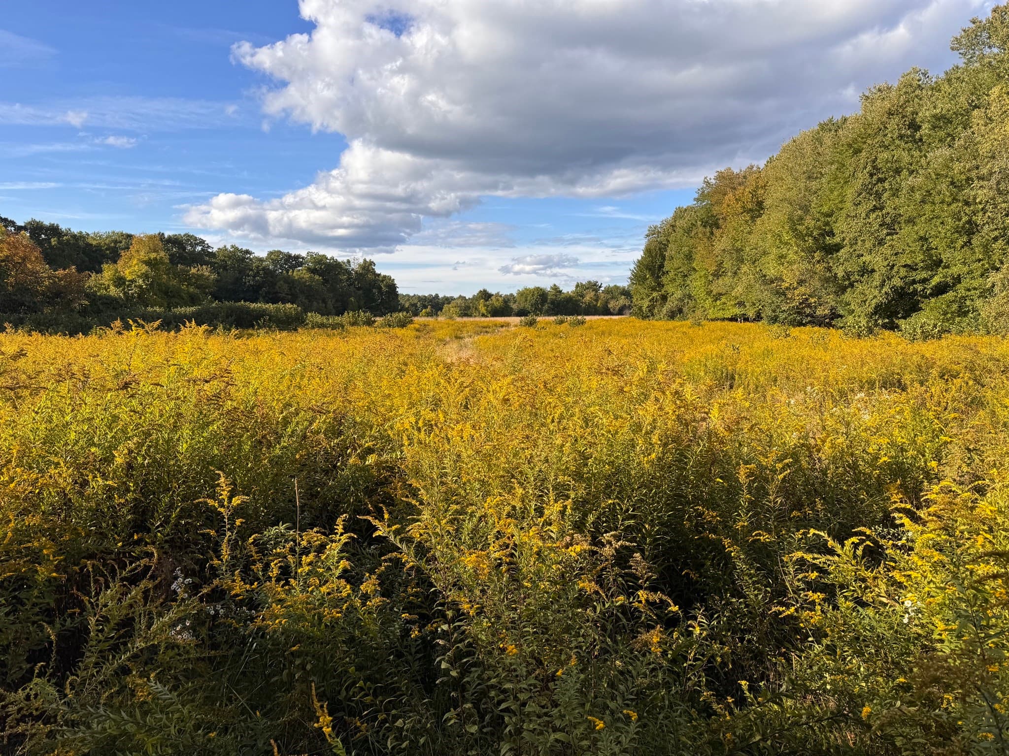
Recently sold in Wilbraham
Last 6 months. Real comps from the MLS, not estimates.


Walkability
Blended score for Wilbraham's center, calculated by INNOVATE Real Estate from two sources: the EPA's National Walkability Index (street network, transit, land-use mix) and Google Places amenity data (what's actually reachable on foot from this point). 60% EPA National Walkability Index + 40% nearby-amenity density (Google Places).
Nearby schools
Within 10 miles. School directory data from the National Center for Education Statistics (NCES), accessed via the Urban Institute Education Data API. Local Score is calculated by INNOVATE Real Estate; where a state rating is shown, it comes from that state's own official school report card.
- Enrollment
- 305
- Student:teacher ratio
- 13.9:1
- District
- Hampden-Wilbraham
- Enrollment
- 582
- Student:teacher ratio
- 12.7:1
- District
- Hampden-Wilbraham
- Enrollment
- 1,017
- Student:teacher ratio
- 14.5:1
- District
- Hampden-Wilbraham
Cities near Wilbraham
ZIP codes in Wilbraham
Wilbraham real estate FAQ
How many homes are for sale in Wilbraham right now?+
There are currently 110 active listings in Wilbraham, Massachusetts, pulled directly from the MLS.
What is the median home price in Wilbraham?+
The median list price for active listings in Wilbraham is $499,900. Homes are spending an average of 137 days on market.
Is Wilbraham's housing market up or down this year?+
Median closed-sale prices in Wilbraham have fallen 4.2% year over year, based on trailing 12-month MLS sales.
What schools serve Wilbraham?+
The closest public schools to Wilbraham's center are Stony Hill School, Wilbraham Middle, Minnechaug Regional High. See the schools section above for grade levels and district details.
Is Wilbraham walkable?+
Wilbraham's center has a walkability score of 27 out of 100, blending EPA's National Walkability Index with nearby-amenity density.