



$3,250,000
About this home
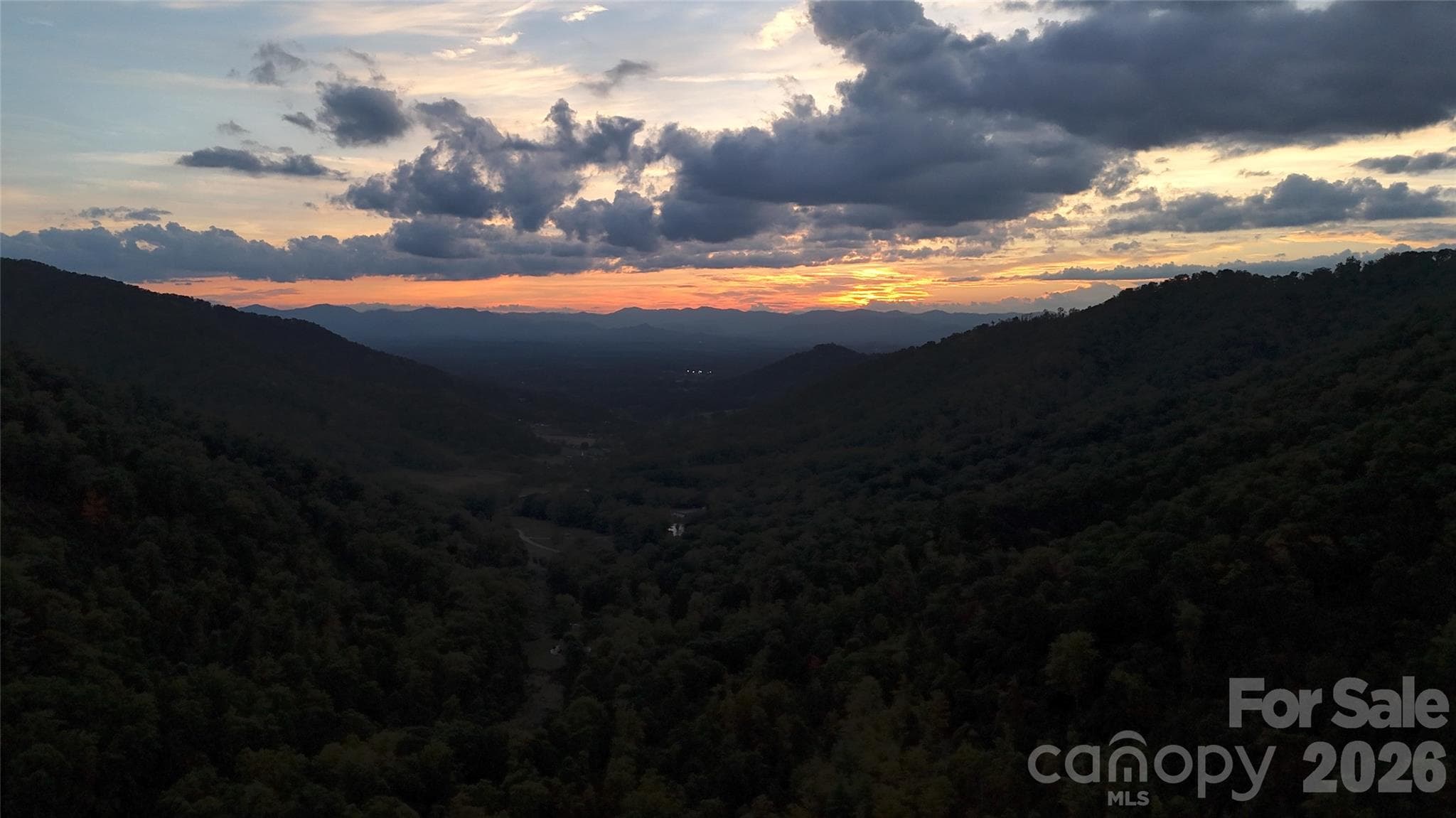
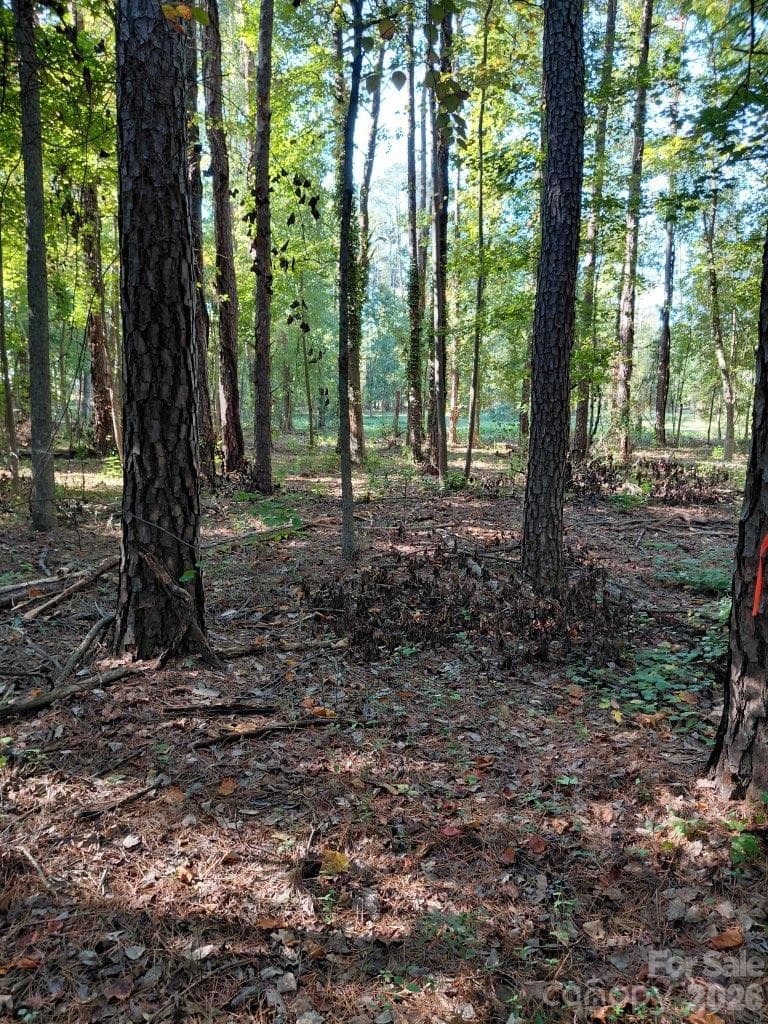
Discover one of Western North Carolina's most unique delevopment opportunities. This exceptional 56 acre tract offers a rare combination of prime location, outstanding accessibility, and remarkable natural beauty. Boasting approx 1,800 feet of frontage on Boylston Highway (NC-280), a fave-lane corridor connecting Mills River and Brevard, the property enjoys excellent visibility and easy access. The location is just 10 minutes from Asheville Airport, approx 15 mins to downtown Brevard, 20 minutes to Hendersonville and Asheville, and only 15 minutes from both the Mills River and Brevard entrances to Pisgah National Forest. The land features gentle, useable topography, making it well suited for a variety of potential uses. Adding to its appeal is approx 1,900 feet of frontage on Boylston Creek, a beautiful Class C trout stream that enhances both the property's character and recreational value. An approx 200-home resiential community has already been approved directly across Boylston Highway, highlighting the area's continued growth and dtrong demand.
Property details
- MLS
- Canopy MLS
- MLS #
- CAR4402275
- Property type
- Acreage
- Subdivision
- N/A
- Status
- Active
- Days on market
- 2
- On market date
- August 1, 2026
- Stories
- N/A
- Total bathrooms
- N/A
- Garage spaces
- N/A
- Parking spaces
- N/A
- Lot size
- N/A
Location
Get directions →Nearby schools
Within 10 miles. School directory data from the National Center for Education Statistics (NCES), accessed via the Urban Institute Education Data API. Local Score is calculated by INNOVATE Real Estate; where a state rating is shown, it comes from that state's own official school report card.
- Enrollment
- 321
- Student:teacher ratio
- 14.6:1
- District
- Henderson County Schools
- Enrollment
- 784
- Student:teacher ratio
- 14.5:1
- District
- Henderson County Schools
- Enrollment
- 204
- Student:teacher ratio
- 34.0:1
- District
- Henderson County Schools
Walkability
Blended score for Mills River's center, calculated by INNOVATE Real Estate from two sources: the EPA's National Walkability Index (street network, transit, land-use mix) and Google Places amenity data (what's actually reachable on foot from this point). 60% EPA National Walkability Index + 40% nearby-amenity density (Google Places).
Market position
How this listing compares to current activity in Mills River, from live MLS data.
Mortgage calculator
Estimate only - actual rate and payment depend on your lender, credit, and loan program.
Adjust tax / insurance estimates
Similar homes you might like

Data source: Listing information provided by Canopy MLS (carolina) via Trestle/CoreLogic. Last updated August 3, 2026.
Information herein deemed reliable but not guaranteed; all measurements, school assignments, HOA fees, taxes, and feature lists are approximate and should be independently verified. Equal Housing Opportunity.