
$2,495,000
About this home
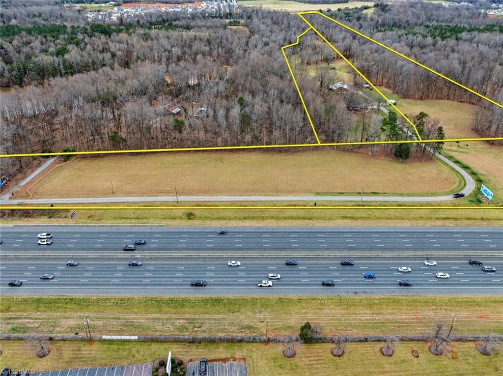
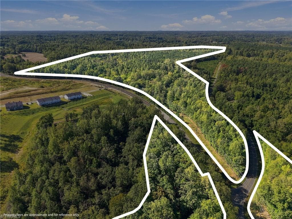
19.72 acres zoned Commercial Low Density with 440 feet of frontage on NC Hwy 211 (Southport Supply Rd SE) in the heart of the St. James/Southport growth corridor. A 2026 wetlands delineation documents approximately 9.8 upland acres -- a ±1.3-acre upland area at the highway with a 60' driveway on NC-211, and a ±8.5-acre upland block across the rear of the tract. Delineation sketch available to qualified buyers. NCDOT's widening of NC-211 to a four-lane divided highway is complete along this section, giving the property finished frontage on a major corridor, and the parcel sits minutes from the St. James Plantation entrances and downtown Southport in North Carolina's fastest-growing county. Commercial frontage of this size, already zoned and with uplands documented, is increasingly scarce on this corridor. Buyer to verify zoning, permitted uses, utilities, and access. Delineation is a field sketch for planning purposes, not a survey. Offered at $2,490,000.
Property details
- MLS #
- 100609027
- Property type
- Unimproved Land
- Subdivision
- Not In Subdivision
- Status
- Active
- Days on market
- 3
- On market date
- October 8, 2026
- Stories
- N/A
- Total bathrooms
- N/A
- Garage spaces
- N/A
- Parking spaces
- N/A
- Lot size
- 19.7 acres
Location
Get directions →Nearby schools
Within 10 miles. School directory data from the National Center for Education Statistics (NCES), accessed via the Urban Institute Education Data API. Local Score is calculated by INNOVATE Real Estate; where a state rating is shown, it comes from that state's own official school report card (e.g. NC Dept. of Public Instruction, SC Report Card).
- Enrollment
- 505
- Student:teacher ratio
- 13.3:1
- District
- Brunswick County Schools
- Enrollment
- 459
- Student:teacher ratio
- 14.3:1
- District
- Brunswick County Schools
- Enrollment
- 365
- Student:teacher ratio
- 33.2:1
- District
- Brunswick County Schools
Walkability
Blended score for Southport's center, calculated by INNOVATE Real Estate from two sources: the EPA's National Walkability Index (street network, transit, land-use mix) and Google Places amenity data (what's actually reachable on foot from this point). 60% EPA National Walkability Index + 40% nearby-amenity density (Google Places).
Mortgage calculator
Estimate only - actual rate and payment depend on your lender, credit, and loan program.
Adjust tax / insurance estimates
Similar homes you might like





Data source: Listing information provided by Hive MLS via Trestle/CoreLogic. Last updated 2 days ago.
Information herein deemed reliable but not guaranteed; all measurements, school assignments, HOA fees, taxes, and feature lists are approximate and should be independently verified. Equal Housing Opportunity.