
$130,000
About this home
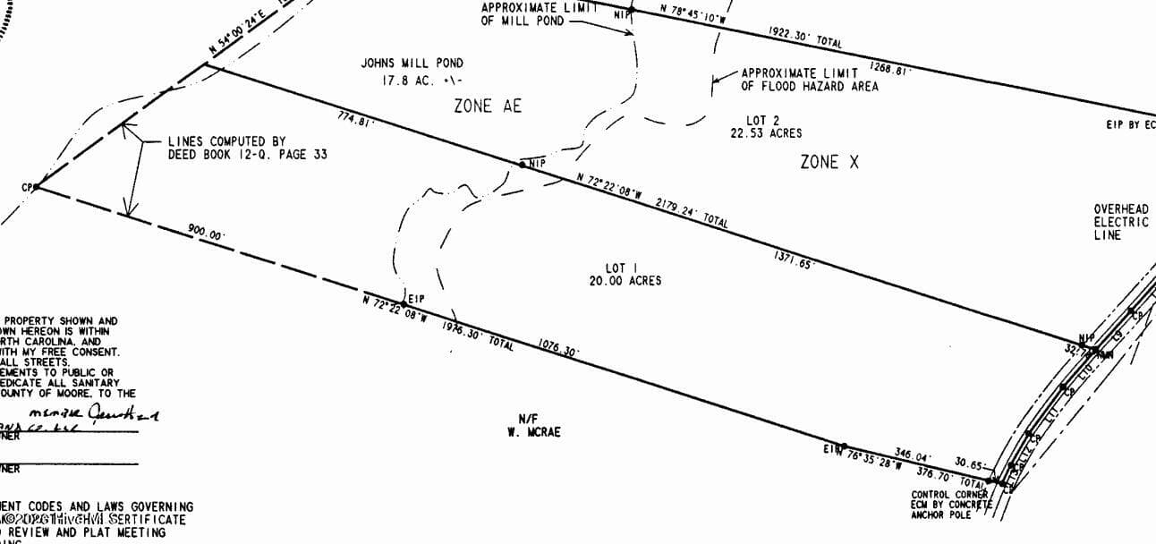
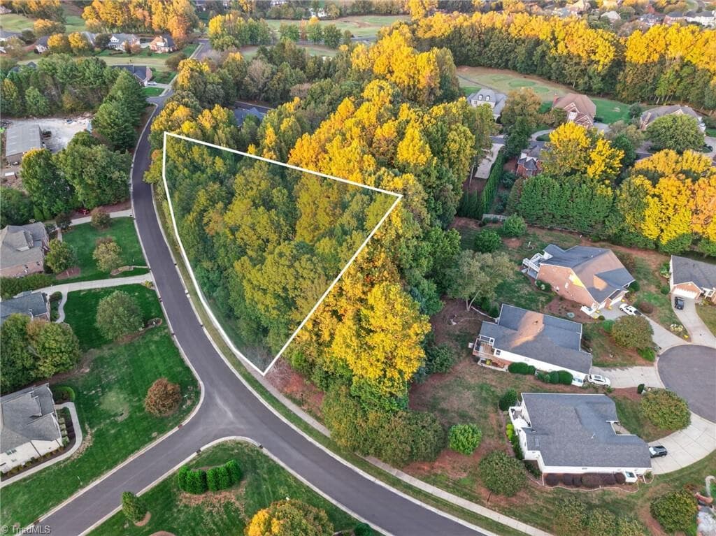
The Johns Mill Road tract is a ideal place to build a home and still have plenty of room to hunt deer, ducks, and turkeys out the back door. The tract has 375 feet of frontage along Johns Mill Road with county water available and extends over 2,180 feet to the run of Leith Creek at the rear. The tract is less than 10 miles from Laurinburg and only 30 minutes from Lumberton. Tract provides plenty of room to create build a home and create some new hunting stories! Just outside of Laurinburg lies this true southern charm with high sandy road frontage and county water for a new home and eight acres of swamp/timberland at the rear for hunting. Not only does this tract have 375 feet of frontage along Johns Mill Road, its less than 10 minutes from the amenities Laurinburg has to offer. The tract is bordered by several homesteads to the north and well maintained farmland to the south. Johns Mill Road is a quaint and very accessible community that the southeastern North Carolina countryside is well known for. There is plenty of room to build a home along the road frontage or towards the rear where a high sandhill lies before descending into the lowlands of Leith Creek. The woodlands at the rear are associated with Leith Creek and the former Johns Mill, but are dominated by mature hardwood and cypress that would be ideal for hunting with productive agriculture lands along the southern periphery. The tract offers fine opportunities to seek small and large game for a unique spot to chase rabbits, flush a covey of quail, down a trophy NC Whitetail, call in a limit of long-bearded strutters, or take a limit of waterfowl! The 12 acres of open land at the front towards Johns Mill Road was recently timber harvested and is open to allow the buyer to see the topography of the land from the roadside. Tract is 10 miles to Laurinburg, 30 miles from Lumberton, 20 miles from Dillon, 50 miles from Florence, and 80 miles to North Myrtle Beach. Come take a look at this tract today before it gets gobbled up! Another beautiful Scotland County jewel that will sell about as fast as it came onto the market. One must come and see today before the opportunity slips away!
Property details
- MLS
- Hive MLS
- MLS #
- 100600111
- Property type
- Undeveloped
- Subdivision
- Leiths Creek
- Status
- Active
- Days on market
- 47
- On market date
- August 31, 2026
- Stories
- N/A
- Total bathrooms
- N/A
- Garage spaces
- N/A
- Parking spaces
- N/A
- Lot size
- 20 acres
Location
Get directions →Nearby schools
Within 10 miles. School directory data from the National Center for Education Statistics (NCES), accessed via the Urban Institute Education Data API. Local Score is calculated by INNOVATE Real Estate; where a state rating is shown, it comes from that state's own official school report card.
- Enrollment
- 655
- Student:teacher ratio
- 13.4:1
- District
- Scotland County Schools
- Enrollment
- 672
- Student:teacher ratio
- 14.9:1
- District
- Scotland County Schools
- Enrollment
- 225
- Student:teacher ratio
- 22.5:1
- District
- Scotland County Schools
Walkability
Blended score for Maxton's center, calculated by INNOVATE Real Estate from two sources: the EPA's National Walkability Index (street network, transit, land-use mix) and Google Places amenity data (what's actually reachable on foot from this point). 60% EPA National Walkability Index + 40% nearby-amenity density (Google Places).
Mortgage calculator
Estimate only - actual rate and payment depend on your lender, credit, and loan program.
Adjust tax / insurance estimates
Similar homes you might like
Data source: Listing information provided by Hive MLS via Trestle/CoreLogic. Last updated August 31, 2026.
Information herein deemed reliable but not guaranteed; all measurements, school assignments, HOA fees, taxes, and feature lists are approximate and should be independently verified. Equal Housing Opportunity.