
$1,395,000
About this home
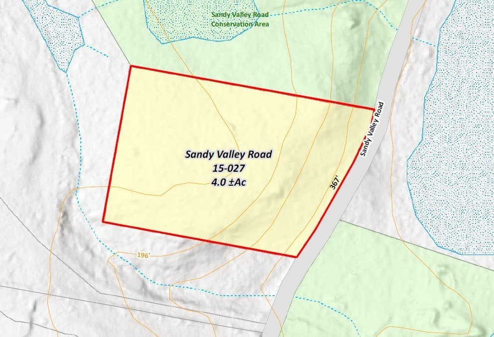
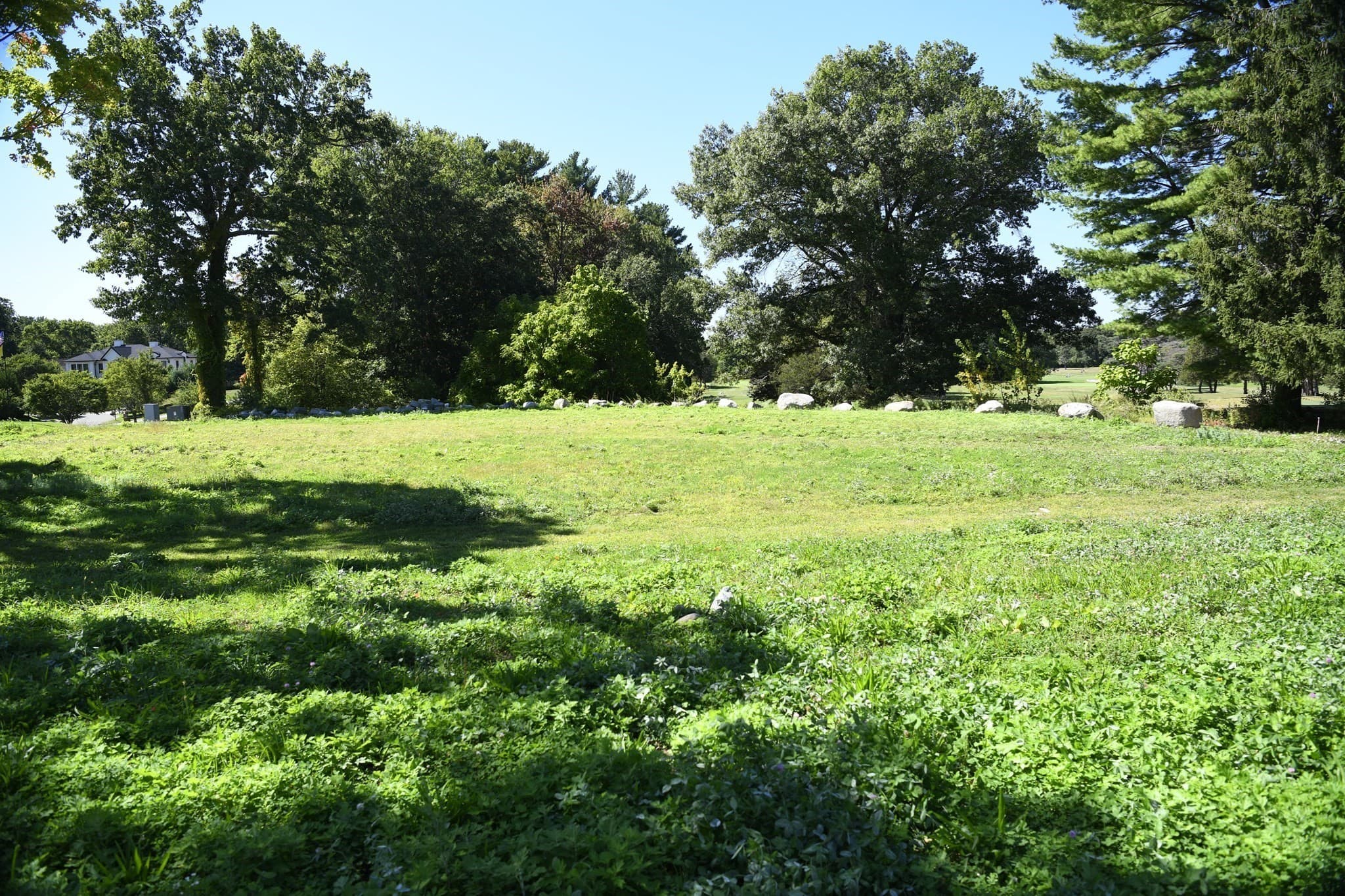
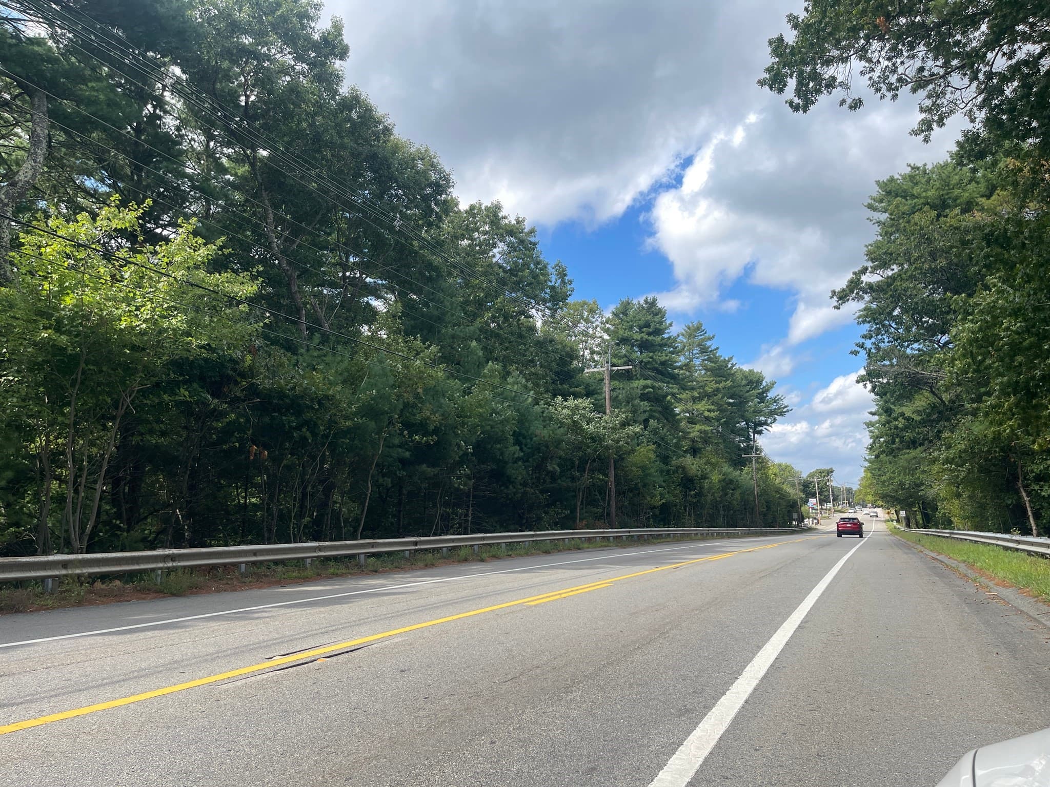
Rare opportunity on Sandy Valley Road, one of Westwood’s most distinctive estate settings. This 4-acre parcel, now identified as 385 Sandy Valley Road, offers privacy, natural surroundings and the potential for one or possibly two building lots in an area known for substantial homes and exceptional land. Development is contingent upon securing all required approvals, including roadway upgrades, and buyers should perform their own due diligence regarding development potential and permitting requirements. An intriguing opportunity for a buyer willing to navigate the development process in a highly desirable Westwood location.
Property details
- MLS #
- 73576367
- Property type
- Residential
- Subdivision
- N/A
- Status
- Active
- Days on market
- 12
- On market date
- September 12, 2026
- Stories
- N/A
- Total bathrooms
- N/A
- Garage spaces
- N/A
- Parking spaces
- N/A
- Lot size
- 4 acres
Location
Get directions →Nearby schools
Within 10 miles · public school directory data (NCES)
- Enrollment
- 189
- Student:teacher ratio
- 12.6:1
- District
- Westwood
- Enrollment
- 662
- Student:teacher ratio
- 12.0:1
- District
- Westwood
- Enrollment
- 952
- Student:teacher ratio
- 12.4:1
- District
- Westwood
Walkability
Blended score for Westwood's center: EPA's National Walkability Index (street network, transit, land-use mix) combined with nearby-amenity density. 60% EPA National Walkability Index + 40% nearby-amenity density (Google Places).
Mortgage calculator
Estimate only - actual rate and payment depend on your lender, credit, and loan program.
Adjust tax / insurance estimates
Similar homes you might like

Data source: Listing information provided by MLS Property Information Network via Trestle/CoreLogic. Last updated 9 days ago.
Information herein deemed reliable but not guaranteed; all measurements, school assignments, HOA fees, taxes, and feature lists are approximate and should be independently verified. Equal Housing Opportunity.