
$649,000
About this home
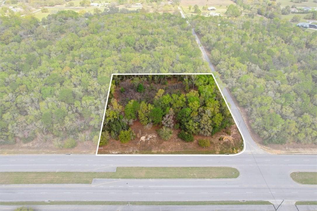
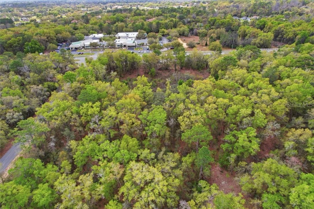
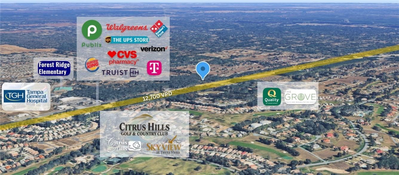
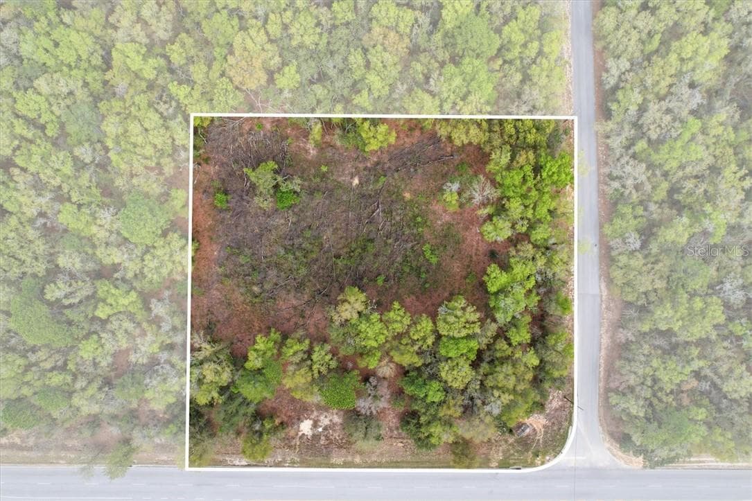
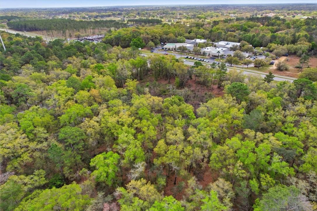
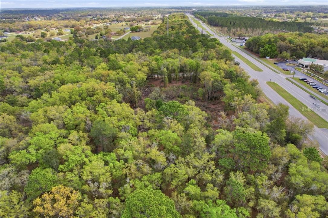
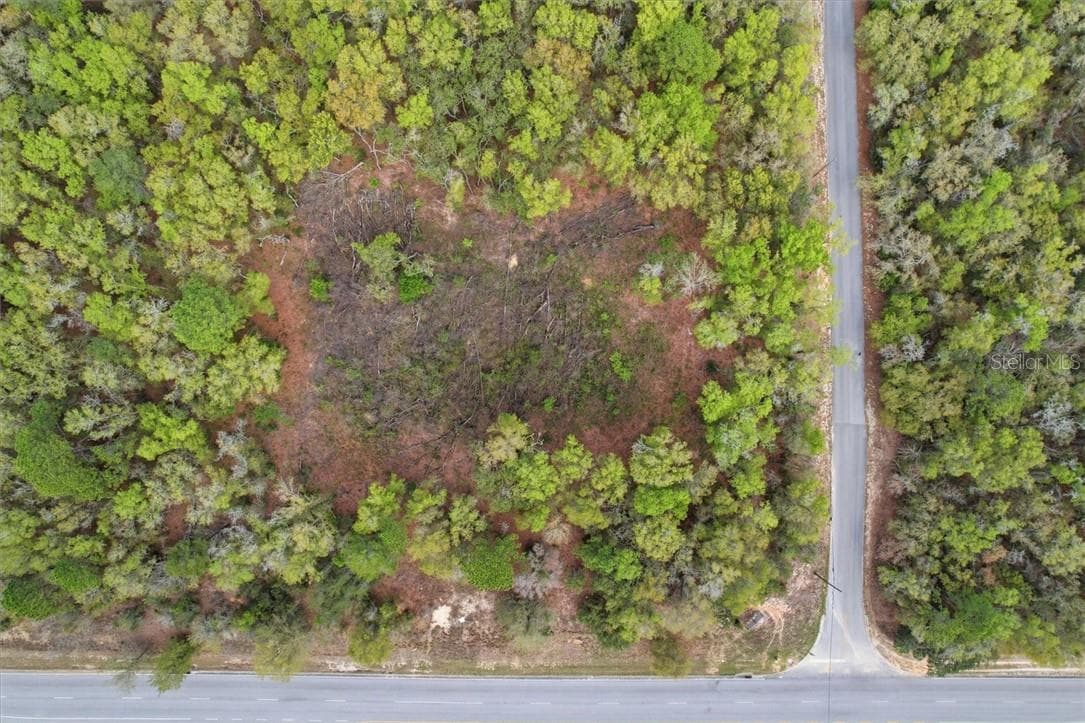
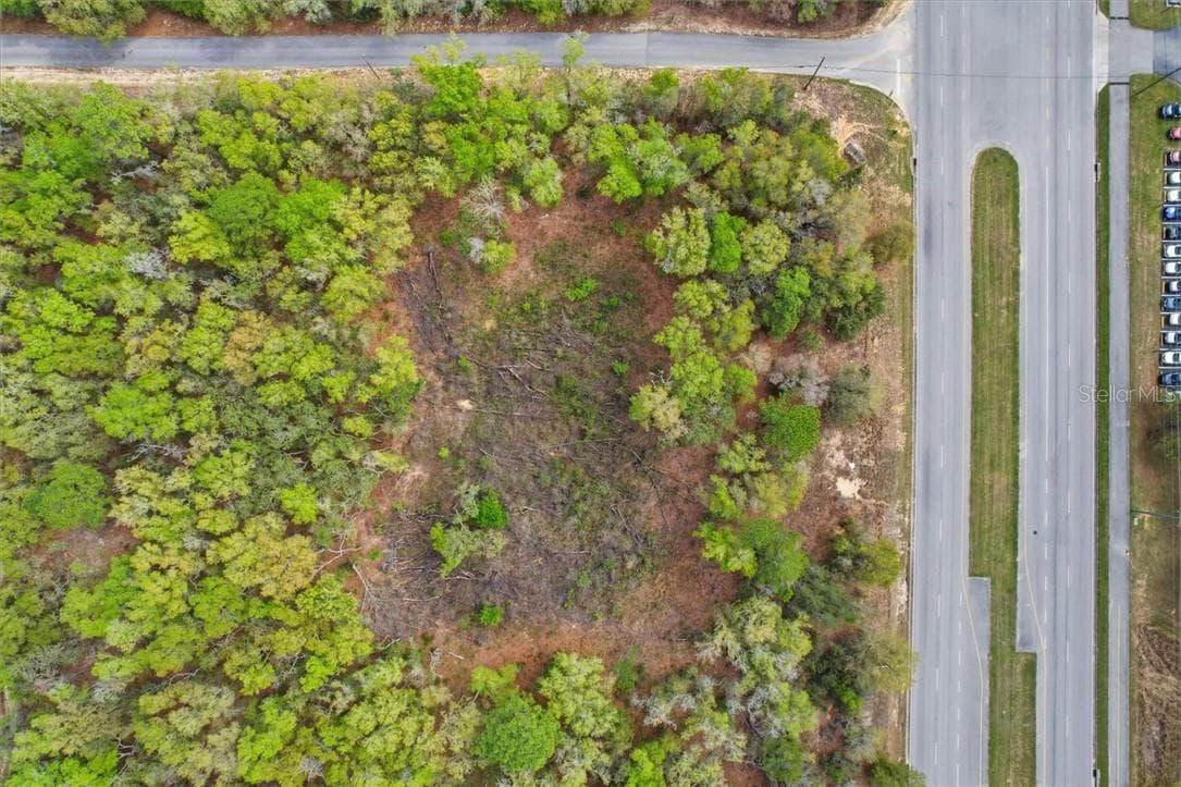
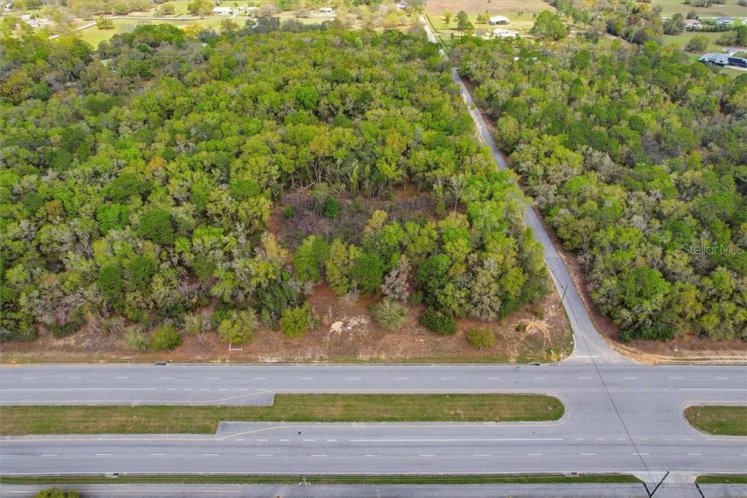
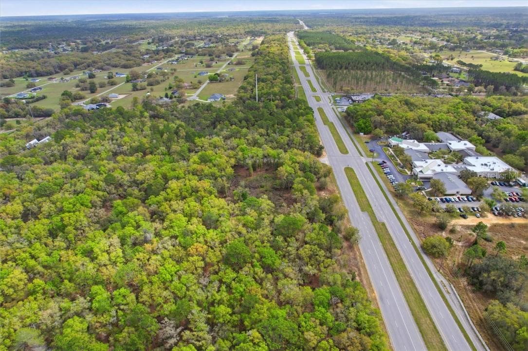
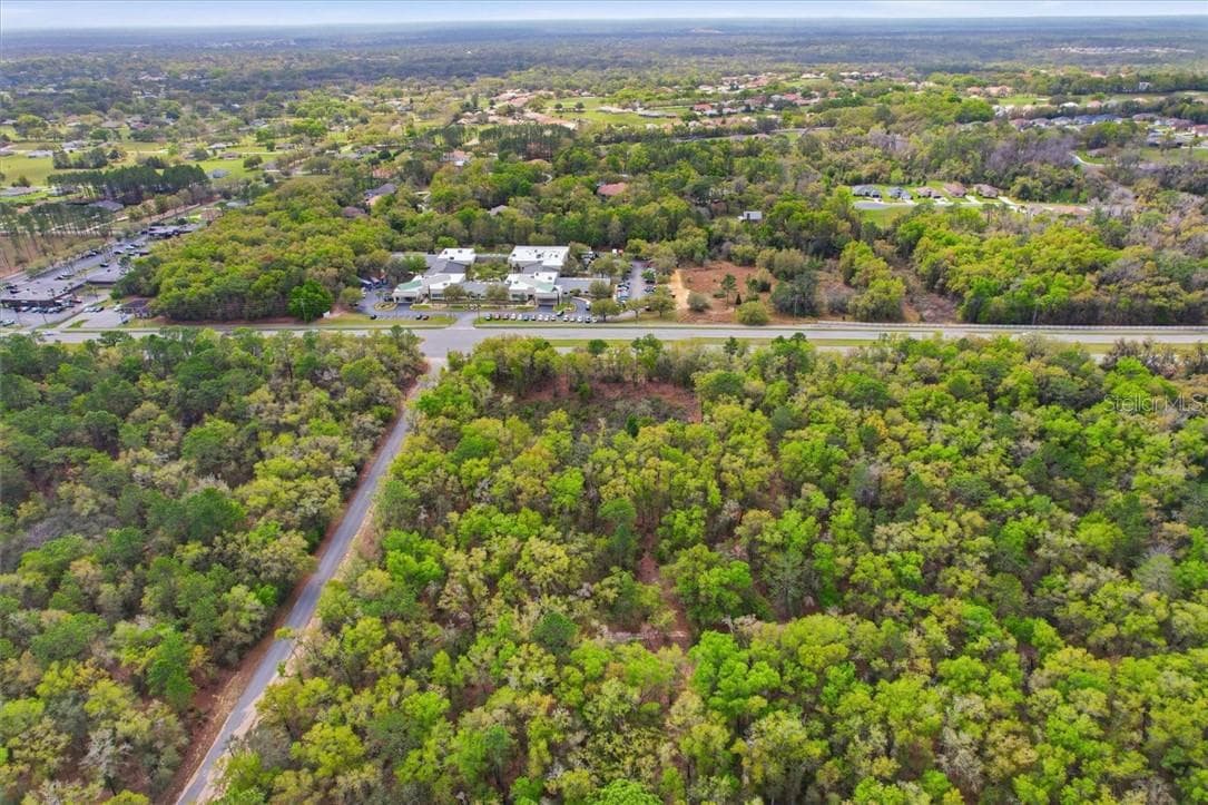
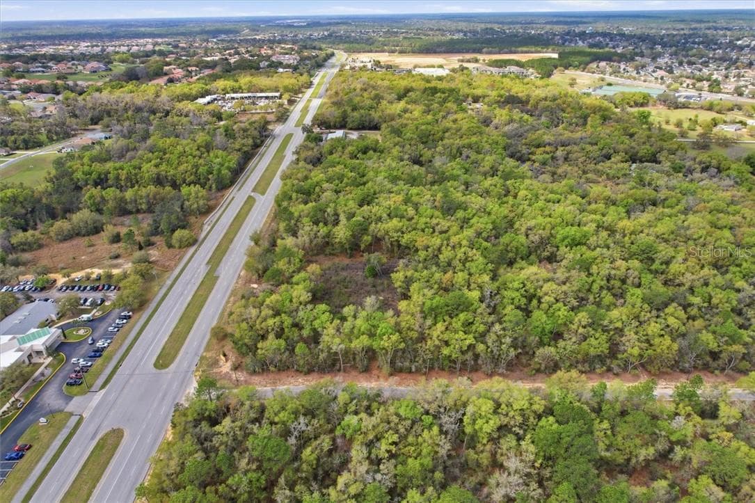
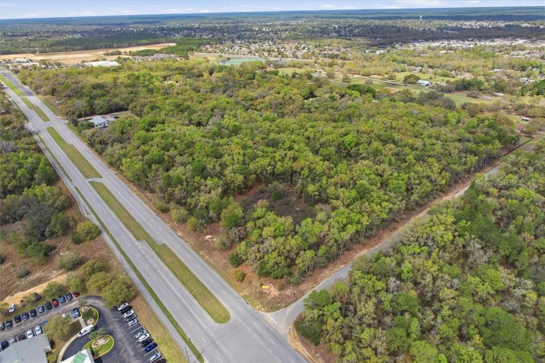
Prime 1.98 AC development site located along Norvell Bryant Hwy (CR-486), one of Citrus County’s primary east-west commercial corridors connecting US-19 in Crystal River to US-41 in Hernando. The property offers approximately 300’ of highway frontage with strong visibility and traffic exceeding 12,000 VPD. Positioned directly adjacent to the Tampa General Hospital Crystal River Emergency Center and in close proximity to the planned 53-acre TGH North medical campus expansion, creating significant long-term demand for commercial services in the immediate area. Surrounded by established national retailers including Publix, Walgreens, CVS, and other service-oriented businesses, and supported by dense nearby residential communities throughout Citrus Hills and Hernando, including multiple golf clubs and master-planned neighborhoods generating consistent daily traffic. GNC zoning allows a wide range of neighborhood commercial uses. The site may support higher intensity commercial or hospitality uses subject to county approvals. Two sets of development plans and soil testing have already been completed, offering a streamlined path toward development along a rapidly growing commercial corridor.
Property details
- MLS #
- MFRCC853635
- Property type
- Land
- Subdivision
- N/A
- Status
- Active
- Days on market
- 189
- On market date
- April 2, 2026
- Stories
- N/A
- Total bathrooms
- N/A
- Garage spaces
- N/A
- Parking spaces
- N/A
- Lot size
- 1.98 acres
Location
Get directions →Nearby schools
Within 10 miles. School directory data from the National Center for Education Statistics (NCES), accessed via the Urban Institute Education Data API. Local Score is calculated by INNOVATE Real Estate; where a state rating is shown, it comes from that state's own official school report card (e.g. NC Dept. of Public Instruction, SC Report Card).
- Enrollment
- 678
- Student:teacher ratio
- 16.1:1
- District
- CITRUS
- Enrollment
- 755
- Student:teacher ratio
- 21.0:1
- District
- CITRUS
- Enrollment
- 74
- Student:teacher ratio
- 18.5:1
- District
- CITRUS
Walkability
Blended score for Hernando's center, calculated by INNOVATE Real Estate from two sources: the EPA's National Walkability Index (street network, transit, land-use mix) and Google Places amenity data (what's actually reachable on foot from this point). 60% EPA National Walkability Index + 40% nearby-amenity density (Google Places).
Mortgage calculator
Estimate only - actual rate and payment depend on your lender, credit, and loan program.
Adjust tax / insurance estimates
Similar homes you might like




Data source: Listing information provided by Stellar MLS (mfrmls) via Trestle/CoreLogic. Last updated 1 days ago.
Information herein deemed reliable but not guaranteed; all measurements, school assignments, HOA fees, taxes, and feature lists are approximate and should be independently verified. Equal Housing Opportunity.