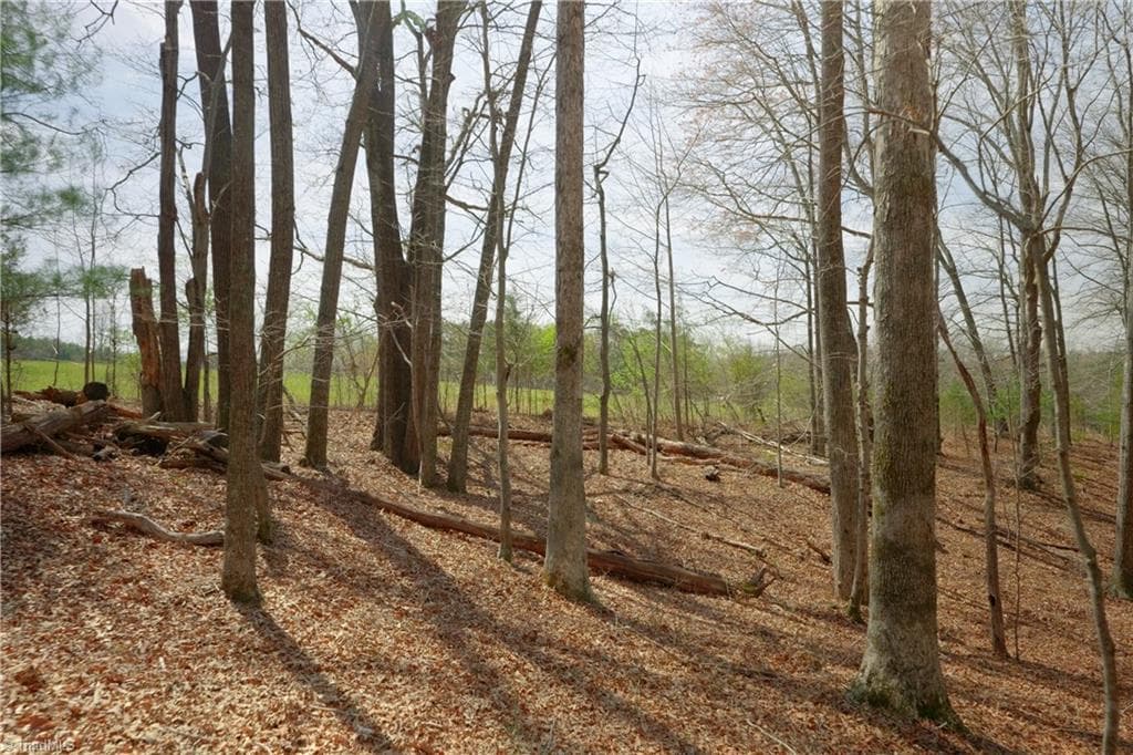
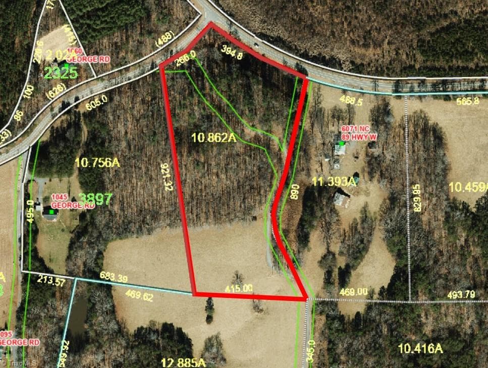
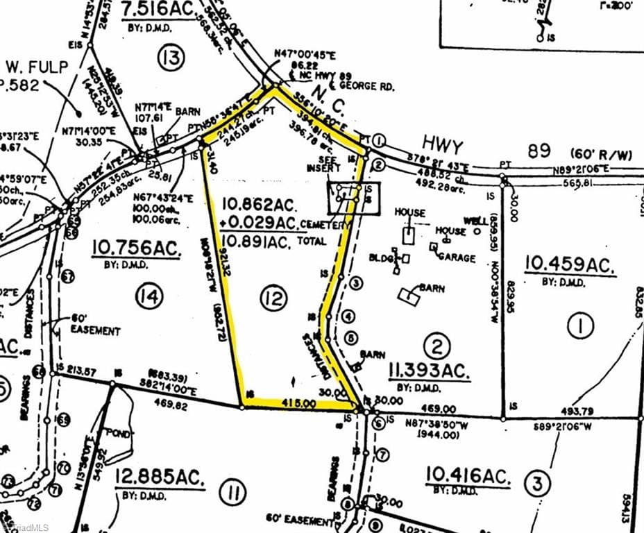
Unimproved Land at 1019-12 George Road, Westfield NC 27053
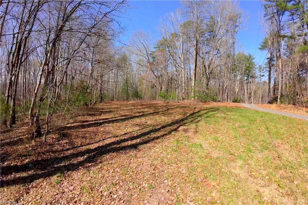
Unimproved Land at 1019-12 George Road, Westfield NC 27053, photo 2 of 22
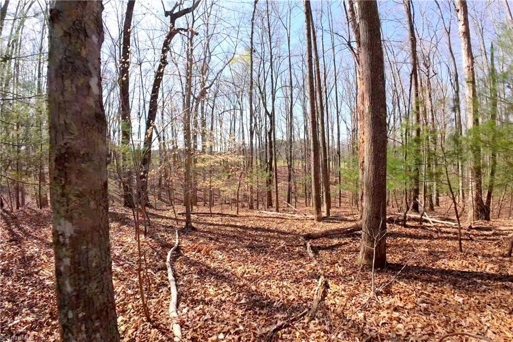
Unimproved Land at 1019-12 George Road, Westfield NC 27053, photo 3 of 22
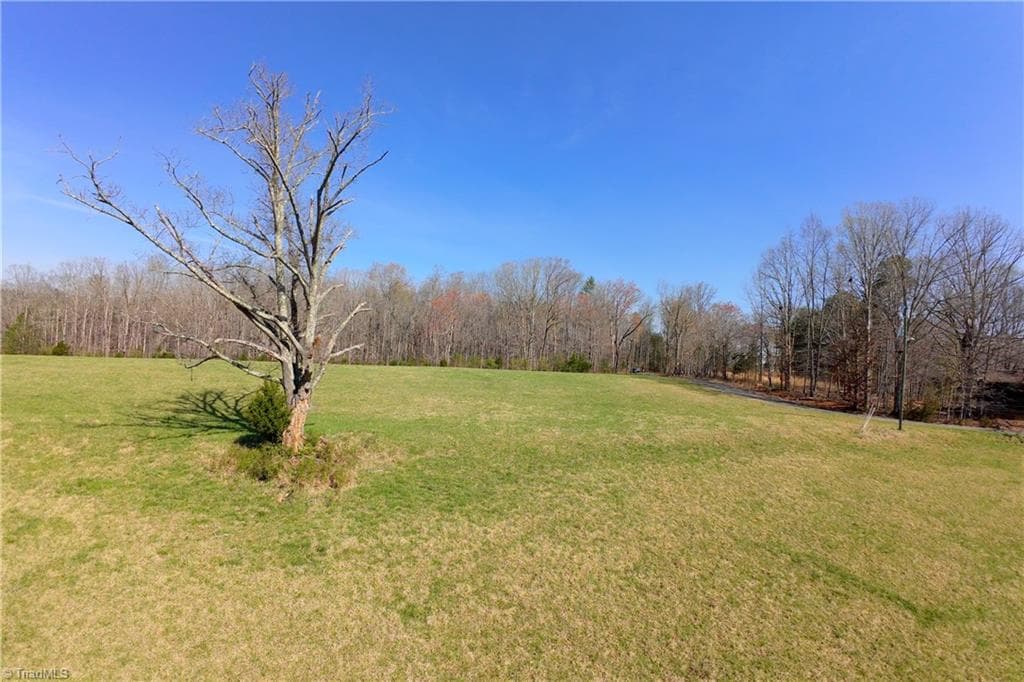
Unimproved Land at 1019-12 George Road, Westfield NC 27053, photo 4 of 22
Unimproved Land at 1019-12 George Road, Westfield NC 27053, photo 5 of 22
Unimproved Land at 1019-12 George Road, Westfield NC 27053, photo 6 of 22
Unimproved Land at 1019-12 George Road, Westfield NC 27053, photo 7 of 22
Unimproved Land at 1019-12 George Road, Westfield NC 27053, photo 8 of 22
Unimproved Land at 1019-12 George Road, Westfield NC 27053, photo 9 of 22
Unimproved Land at 1019-12 George Road, Westfield NC 27053, photo 10 of 22
Unimproved Land at 1019-12 George Road, Westfield NC 27053, photo 11 of 22
Unimproved Land at 1019-12 George Road, Westfield NC 27053, photo 12 of 22
Unimproved Land at 1019-12 George Road, Westfield NC 27053, photo 13 of 22
Unimproved Land at 1019-12 George Road, Westfield NC 27053, photo 14 of 22
Unimproved Land at 1019-12 George Road, Westfield NC 27053, photo 15 of 22
Unimproved Land at 1019-12 George Road, Westfield NC 27053, photo 16 of 22
Unimproved Land at 1019-12 George Road, Westfield NC 27053, photo 17 of 22
Unimproved Land at 1019-12 George Road, Westfield NC 27053, photo 18 of 22
Unimproved Land at 1019-12 George Road, Westfield NC 27053, photo 19 of 22
Unimproved Land at 1019-12 George Road, Westfield NC 27053, photo 20 of 22
Unimproved Land at 1019-12 George Road, Westfield NC 27053, photo 21 of 22
Unimproved Land at 1019-12 George Road, Westfield NC 27053, photo 22 of 22
22 photos

$145,000

1019-12 George Road, Westfield NC 27053
Westfield, NC 27053
Listed by John Shipley
Bedrooms
N/A
Bathrooms
N/A
Living area
N/A
Year built
N/A

About this home

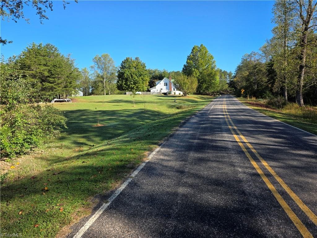
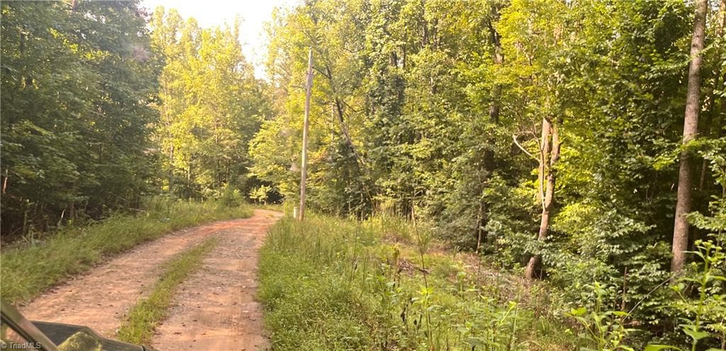
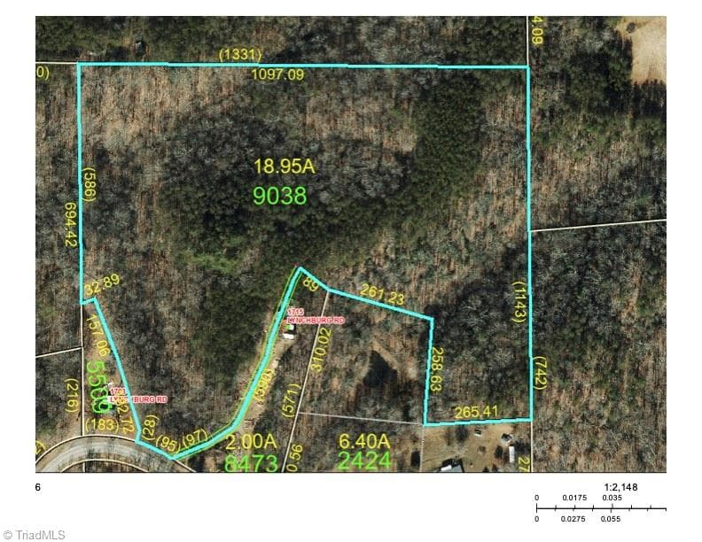
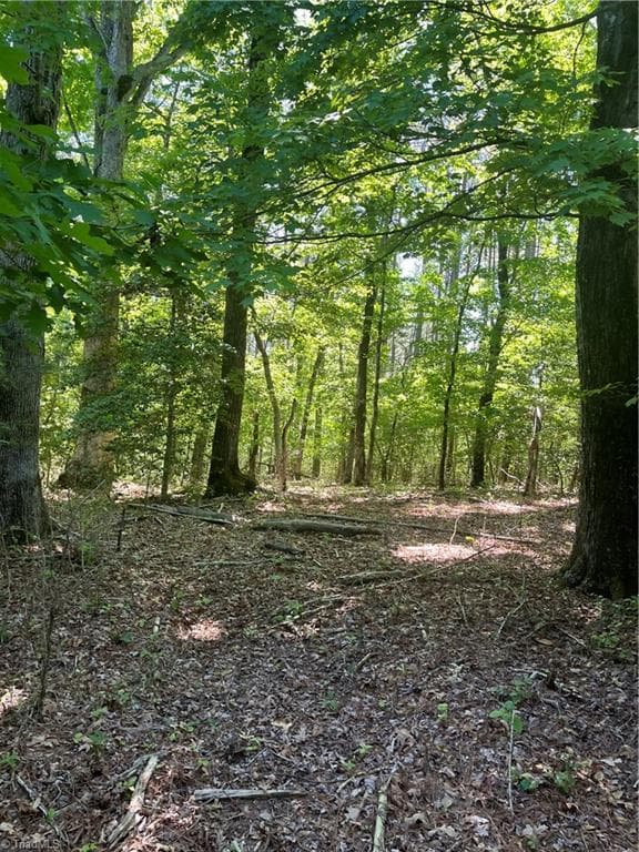
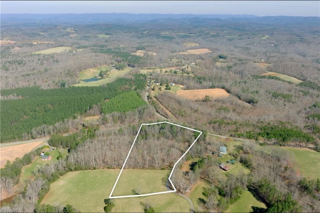
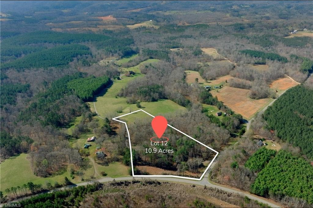
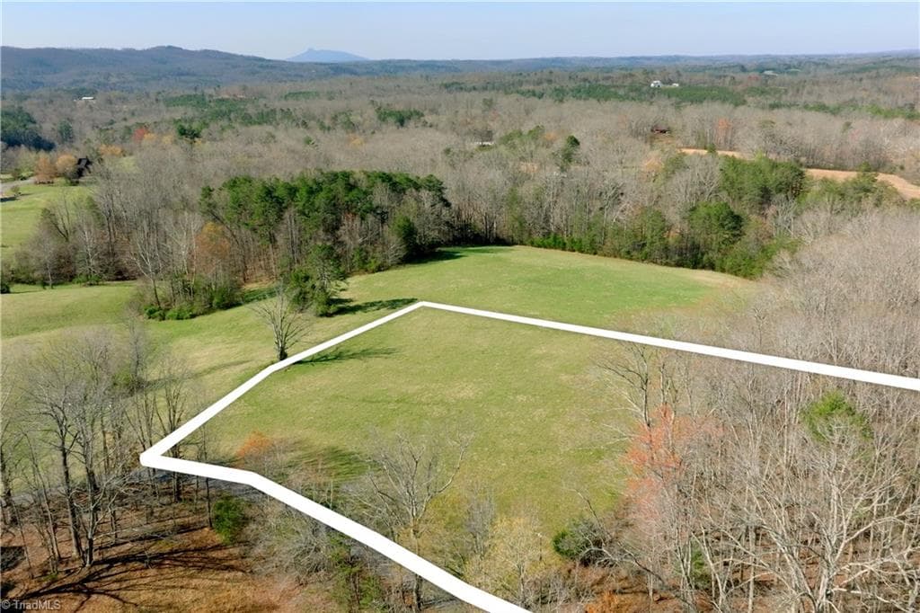
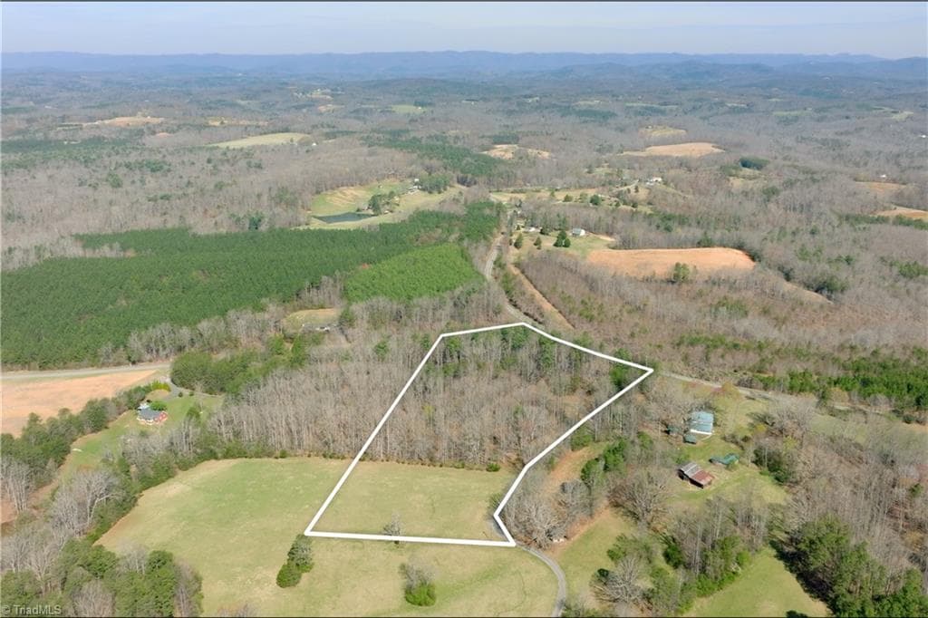
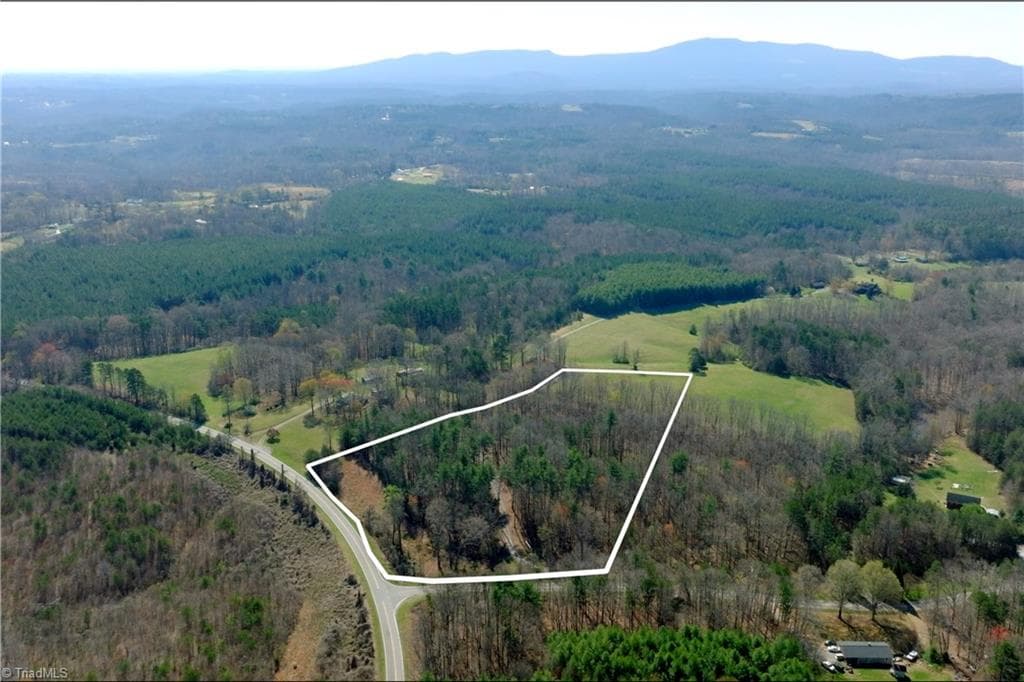
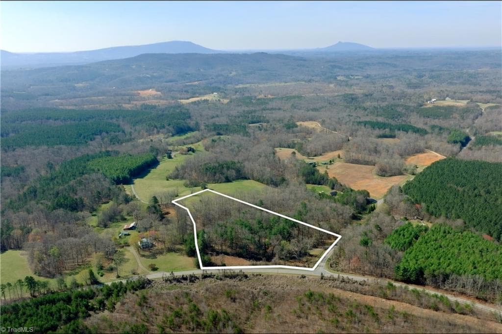
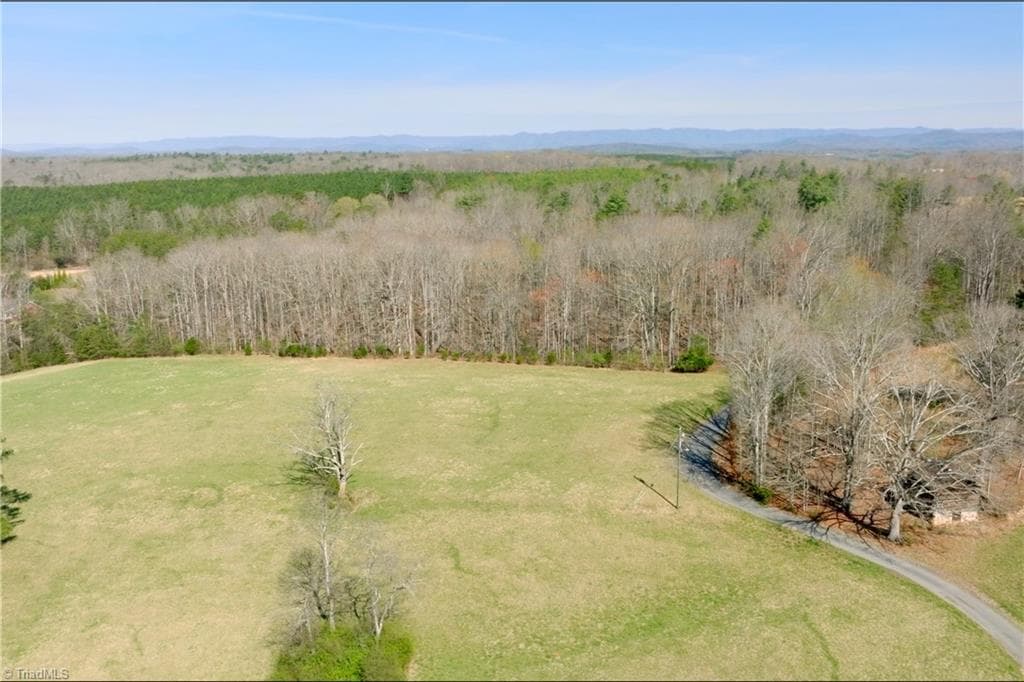
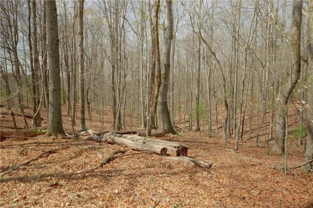
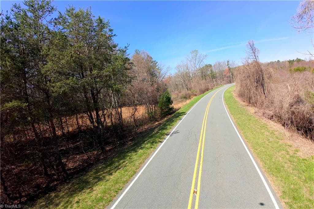
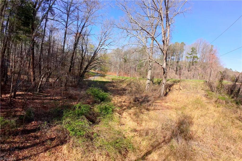
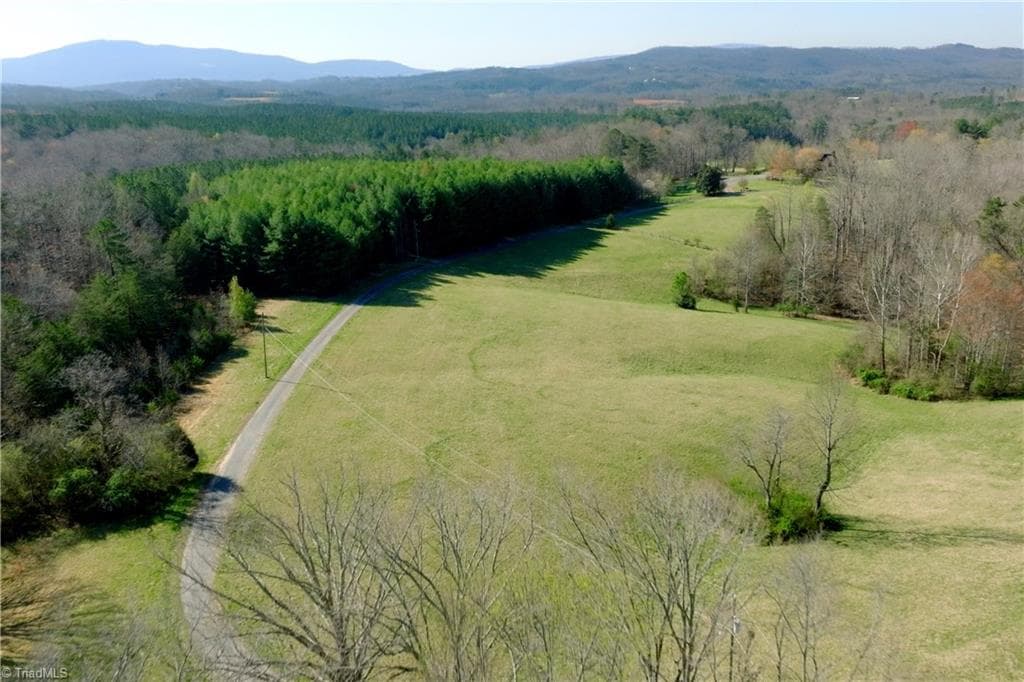
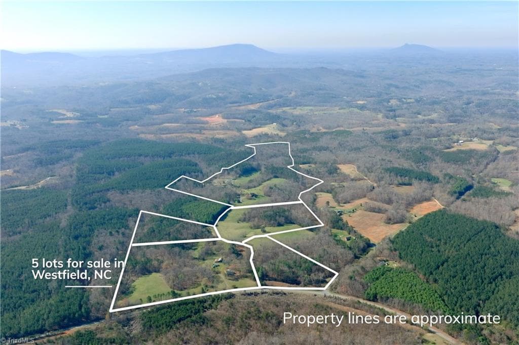
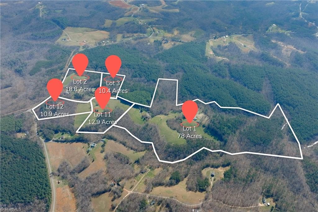
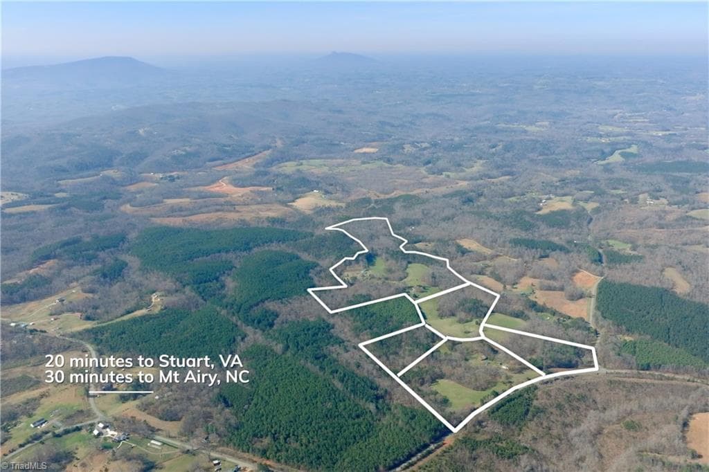
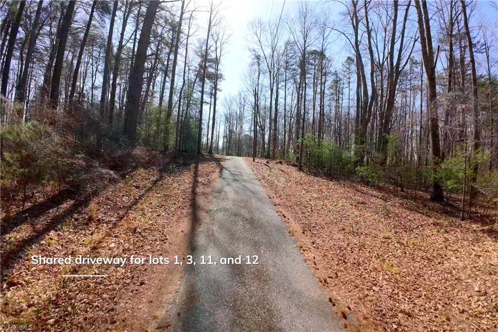
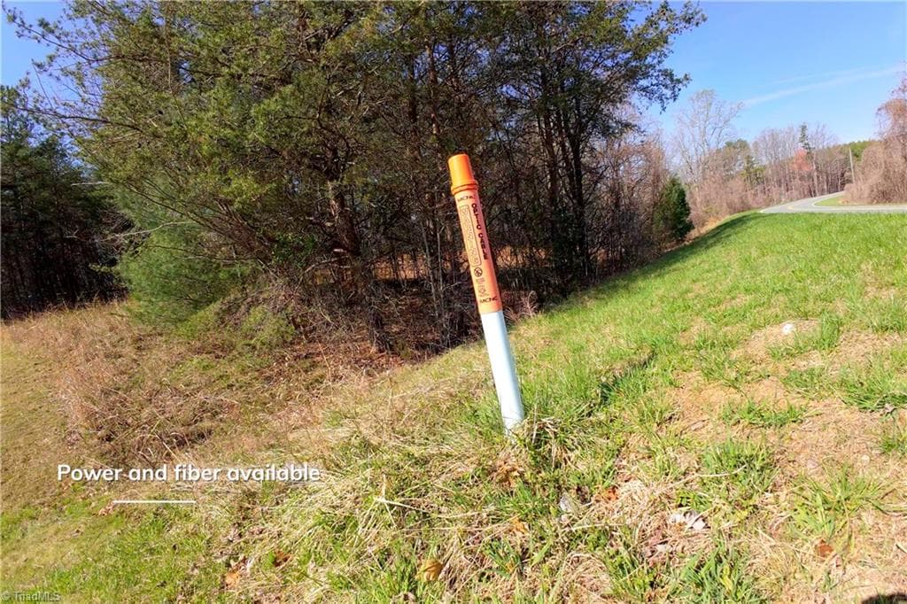
Lot #12, 10.9 acres offers a rare blend of privacy, usability, and natural beauty in the Westfield community of Stokes County, North Carolina. This tract is ideal for a country homesite, small farm, or recreational retreat in a peaceful rural setting, with a scenic mix of open space and mature woods, plus a small stream. Access is by a paved shared private driveway with a road maintenance agreement in place, and power and fiber internet are available. Protective covenants will be added to help maintain the character and upkeep of the area, while low county property taxes are an added benefit. Additional lots available. Visit Listing Agent's website to access interactive map, attachments, and video tour.

Property details

MLS
Triad MLS
MLS #
1215708
Property type
Unimproved Land
Subdivision
N/A
Status
Active
Days on market
N/A
On market date
April 10, 2026
Stories
N/A
Total bathrooms
N/A
Garage spaces
N/A
Parking spaces
N/A
Lot size
10.862 acres
Loading map…

Nearby schools

Within 10 miles. School directory data from the National Center for Education Statistics (NCES), accessed via the Urban Institute Education Data API. Local Score is calculated by INNOVATE Real Estate; where a state rating is shown, it comes from that state's own official school report card.

Elementary
Nancy Reynolds Elementary School
4.28 mi away · Grades 0-5
Zoned school (attendance boundary, 2015-16 data)
3.3
Local Score (state rating (2025) blended 70/30 with student-teacher ratio) -- not an official state rating
State rating: C (2025)
Enrollment
111
Student:teacher ratio
13.9:1
District
Stokes County Schools
Middle
Piney Grove Middle School
5.15 mi away · Grades 6-8
Zoned school (attendance boundary, 2015-16 data)
3.3
Local Score (state rating (2025) blended 70/30 with student-teacher ratio) -- not an official state rating
State rating: C (2025)
Enrollment
235
Student:teacher ratio
13.1:1
District
Stokes County Schools
High
North Stokes High School
3.51 mi away · Grades 9-12
Zoned school (attendance boundary, 2015-16 data)
3.6
Local Score (state rating (2025) blended 70/30 with student-teacher ratio) -- not an official state rating
State rating: C (2025)
Enrollment
300
Student:teacher ratio
10.3:1
District
Stokes County Schools

Walkability

Blended score for Westfield's center, calculated by INNOVATE Real Estate from two sources: the EPA's National Walkability Index (street network, transit, land-use mix) and Google Places amenity data (what's actually reachable on foot from this point). EPA National Walkability Index only -- nearby-amenity data not cached yet for this area.

18
Very car-dependent
out of 100
EPA National Walkability Index
3.5 / 20 -- Least walkable

Mortgage calculator

Estimate only - actual rate and payment depend on your lender, credit, and loan program.

$
%
%
Adjust tax / insurance estimates
% / yr
$
/mo
Est. monthly payment
$1,023/mo
$29,000 down
$116,000 loan
Principal & interest$752
Property tax (est.)$121
Home insurance (est.)$150

Similar homes you might like

Data source: Listing information provided by Triad MLS via Trestle/CoreLogic. Last updated April 11, 2026.

Information herein deemed reliable but not guaranteed; all measurements, school assignments, HOA fees, taxes, and feature lists are approximate and should be independently verified. Equal Housing Opportunity.