



$1,111,500
About this home
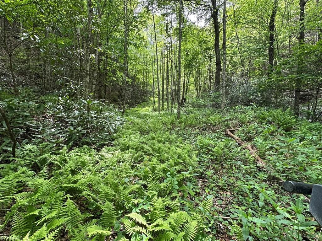
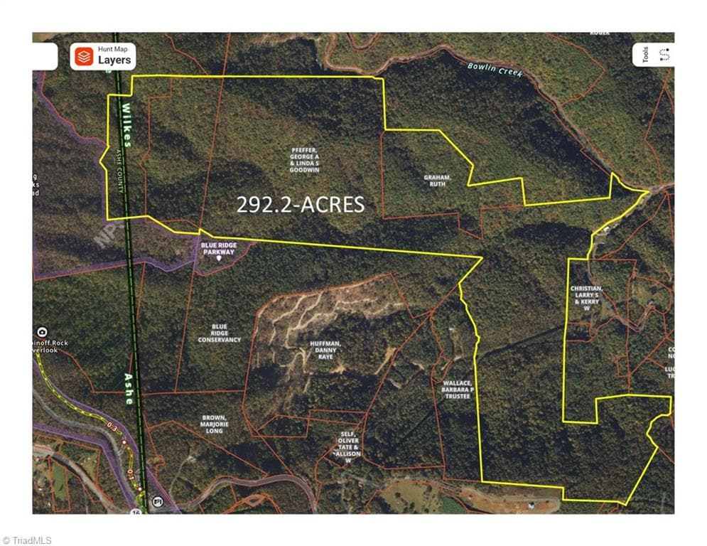
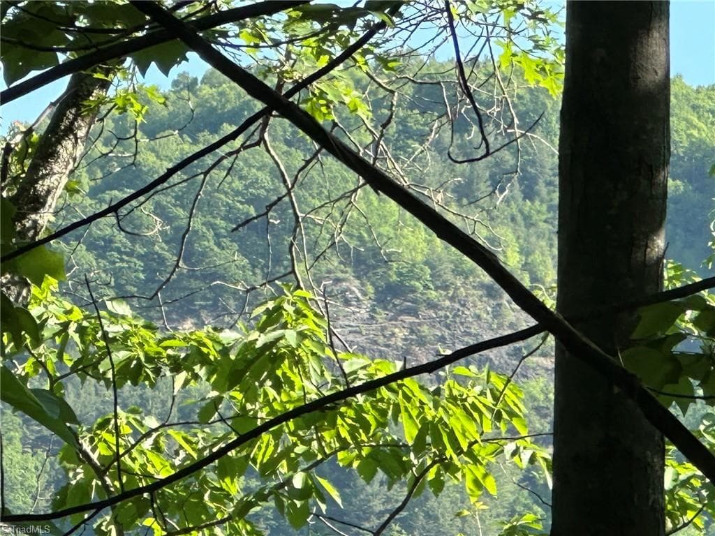
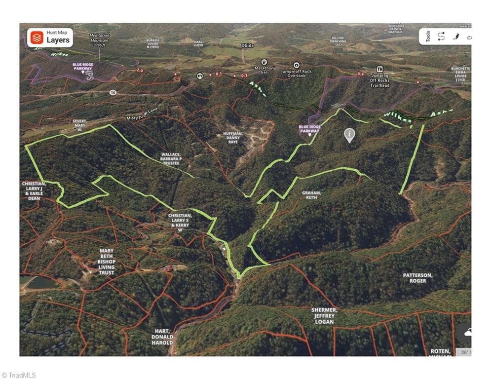
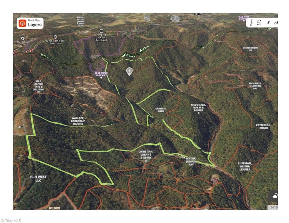
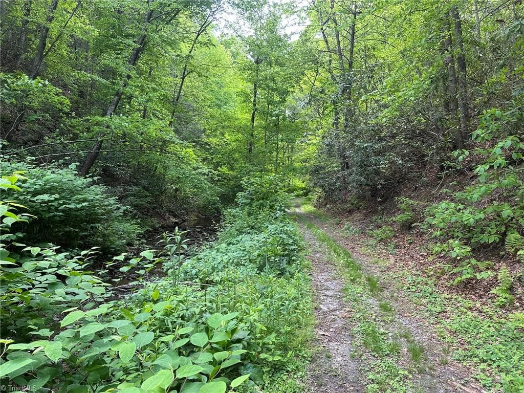
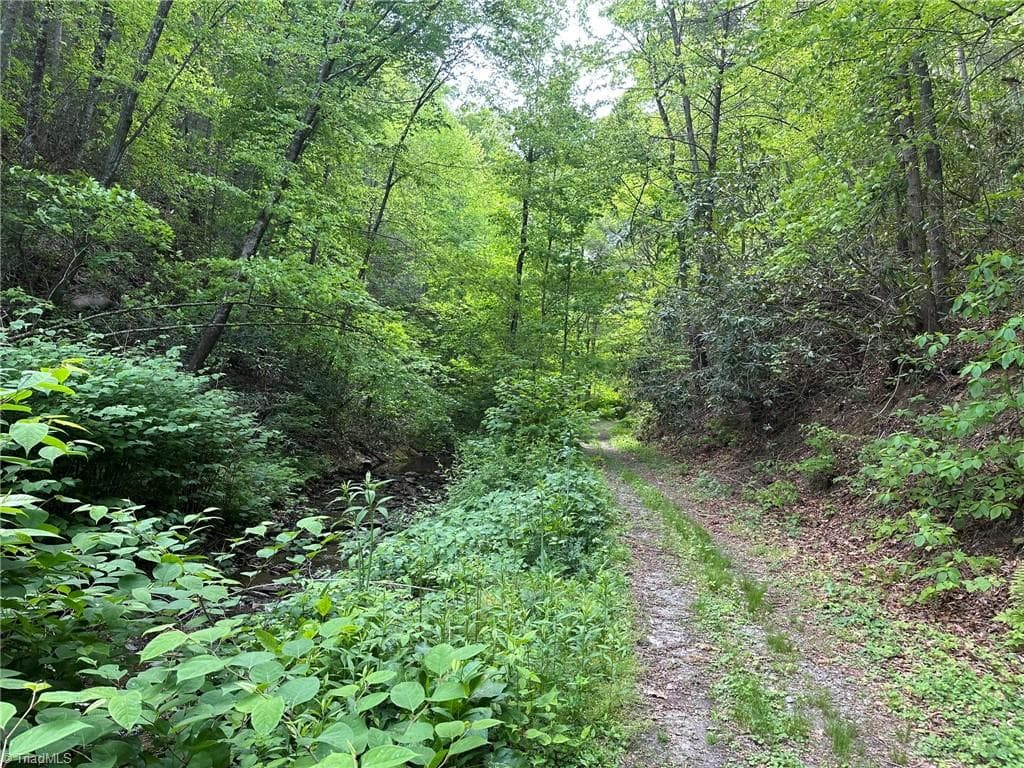
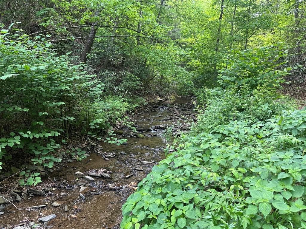
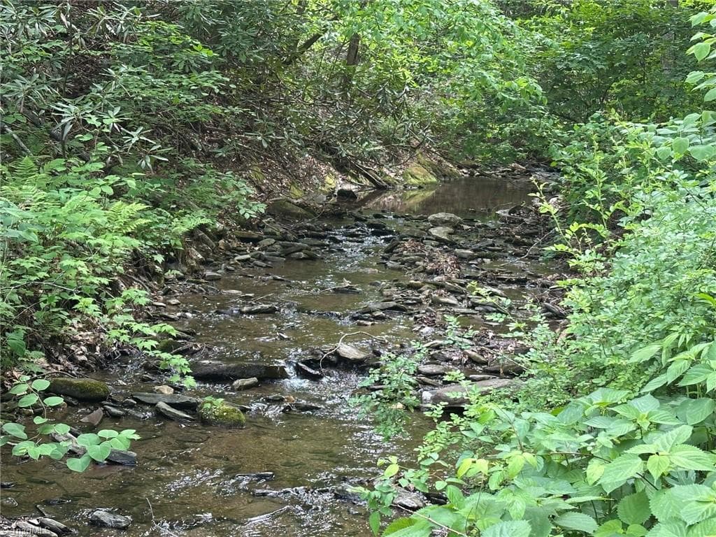
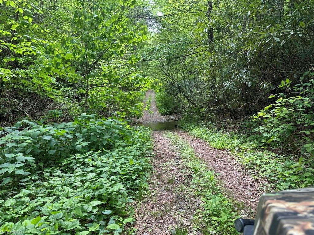
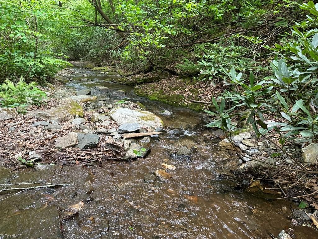
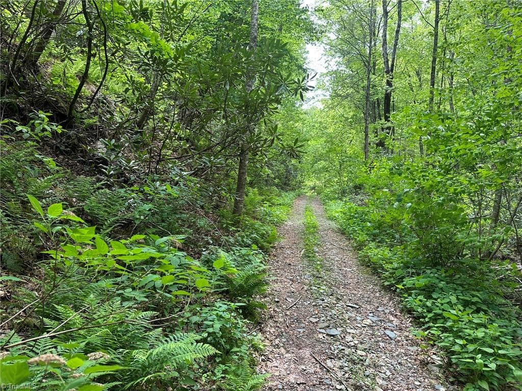
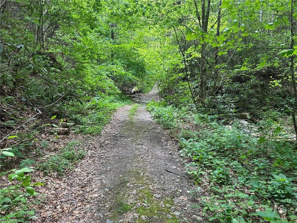
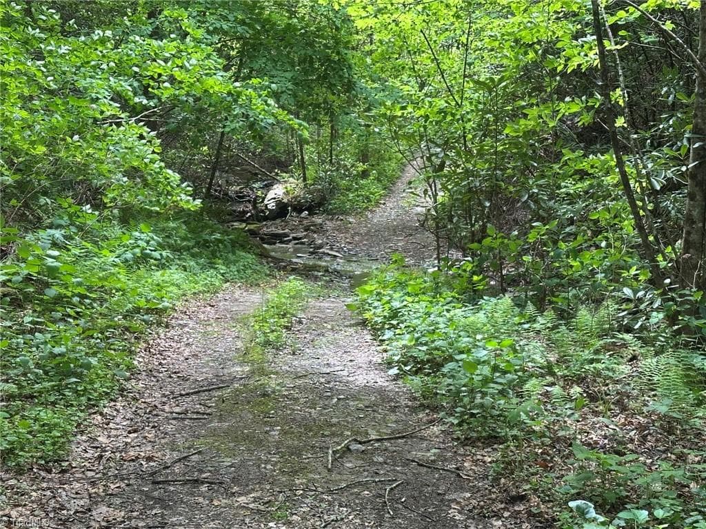
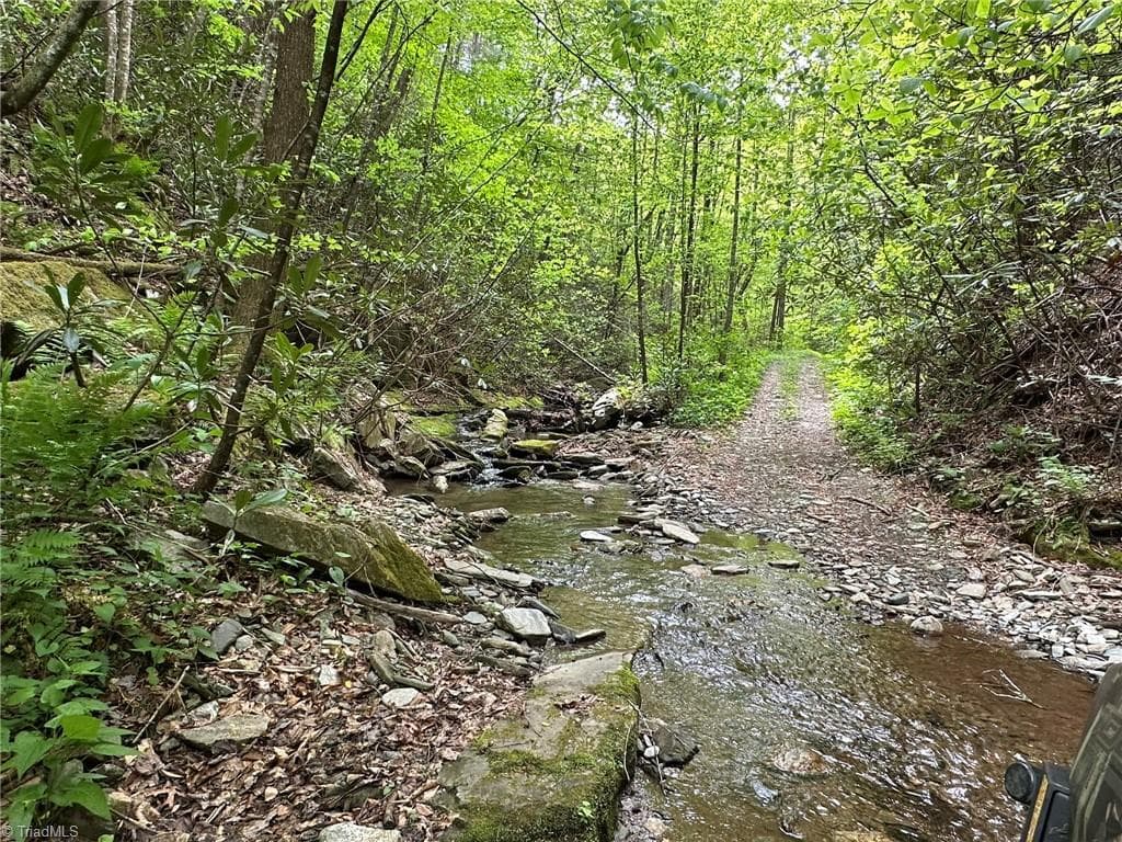
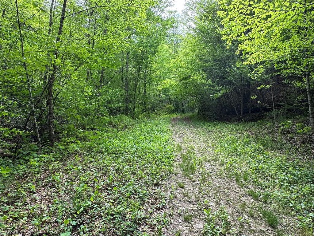
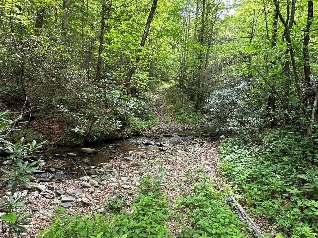
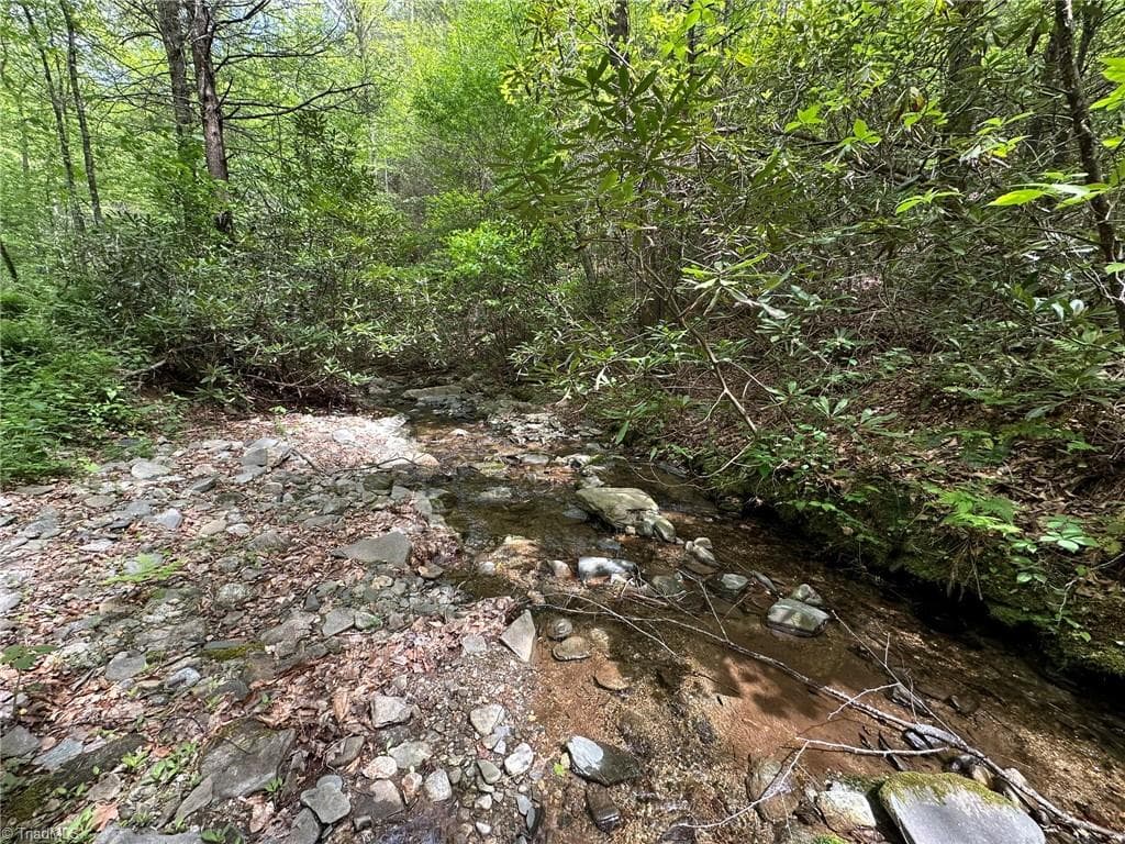
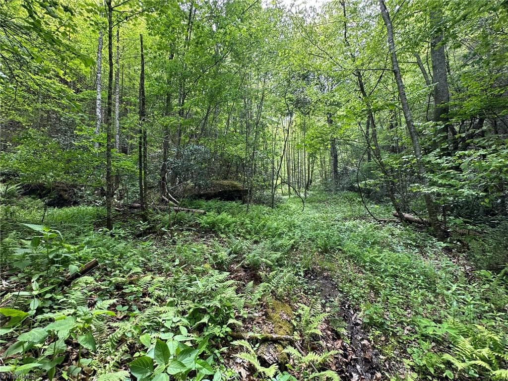
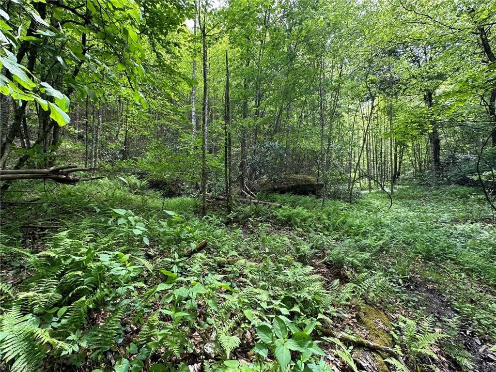
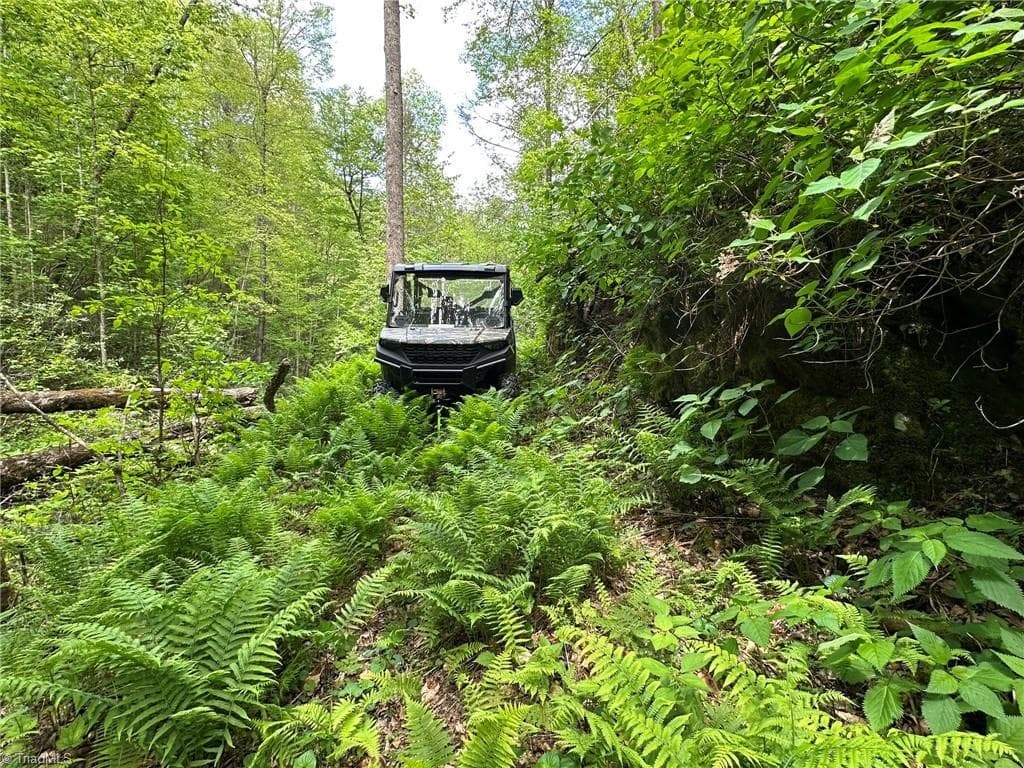
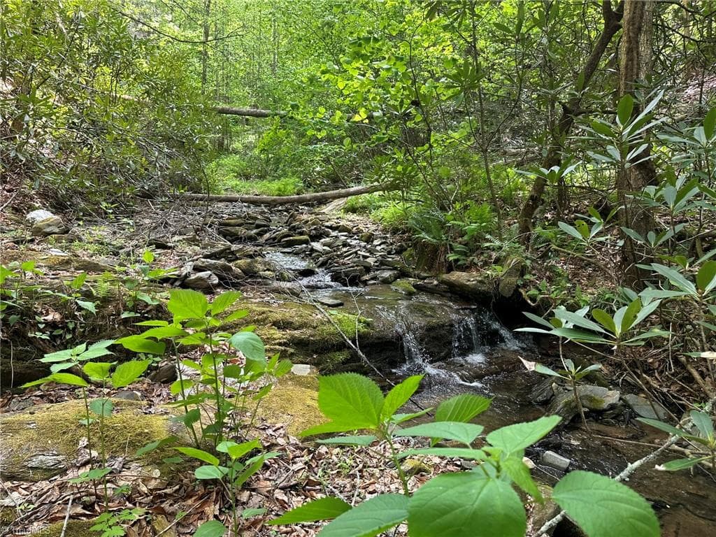
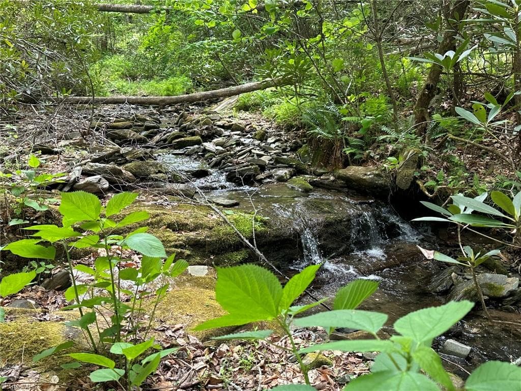
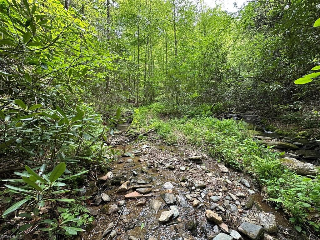
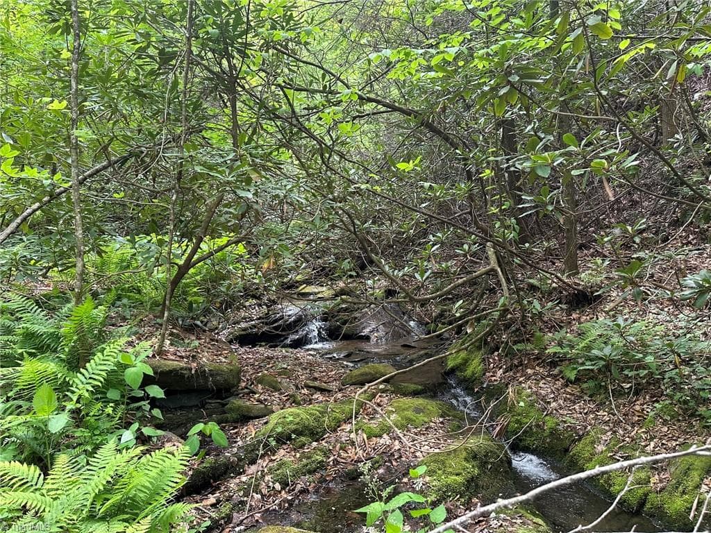
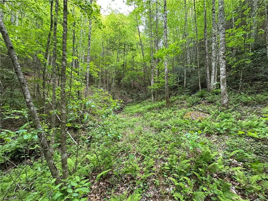
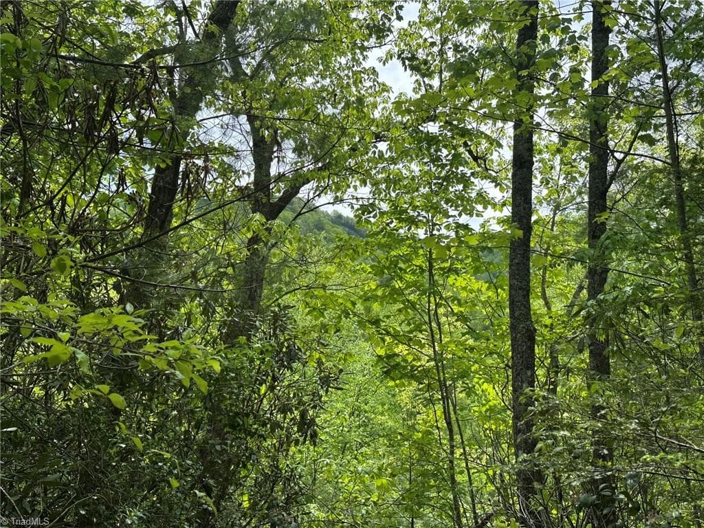
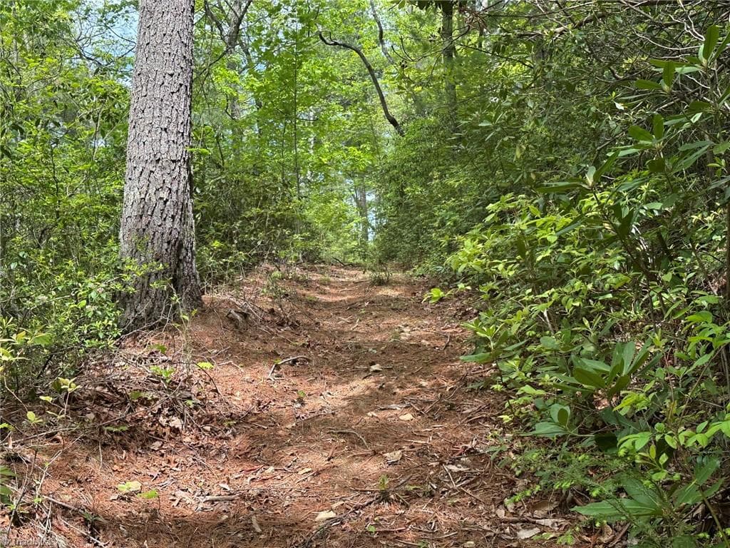
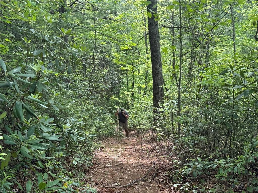
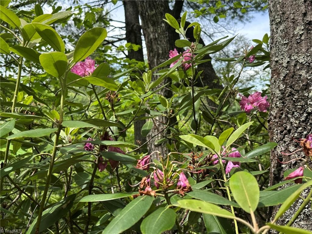
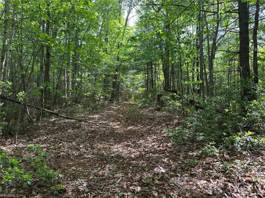
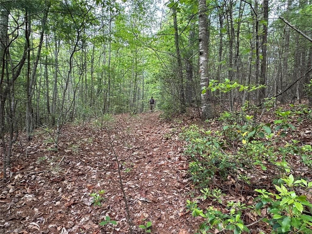
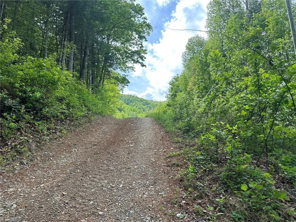
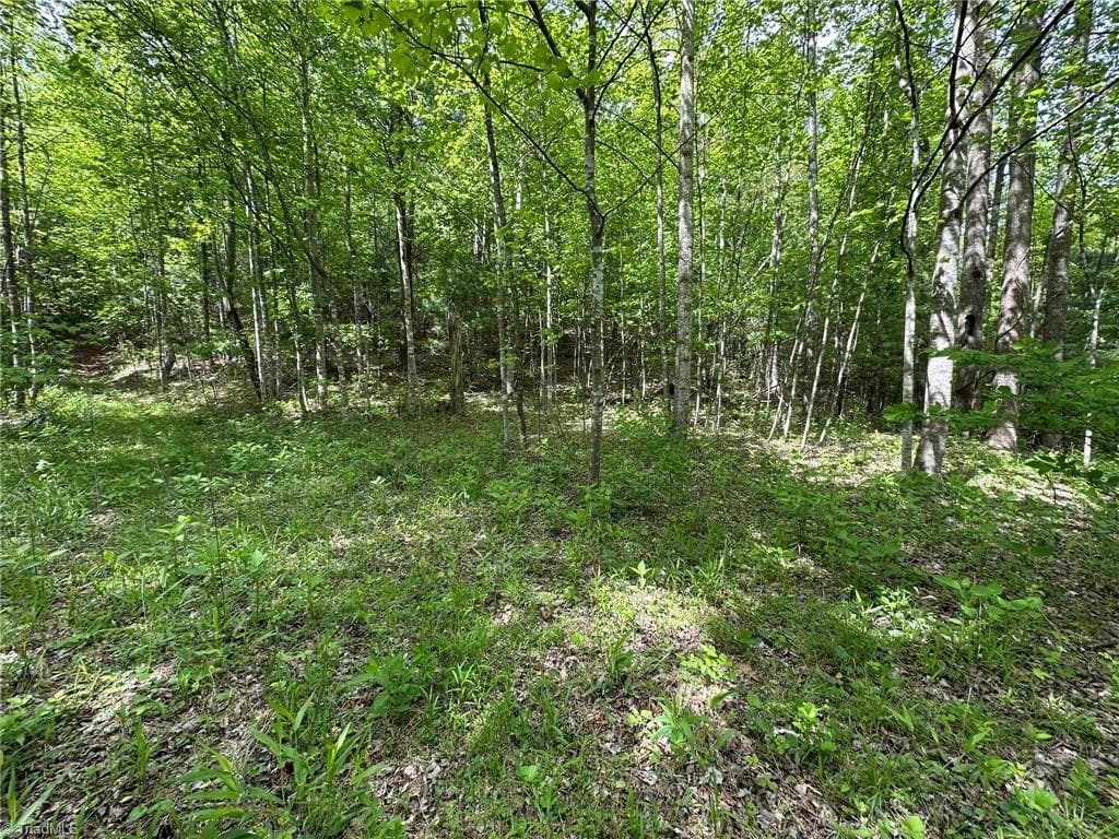
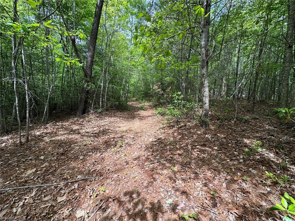
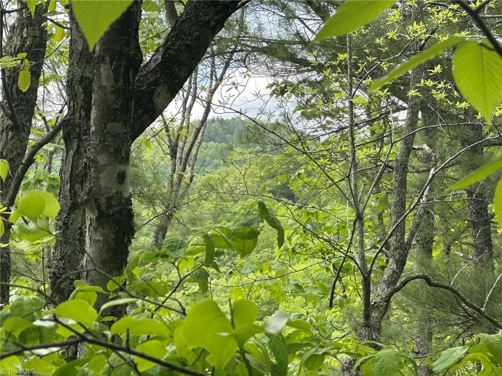
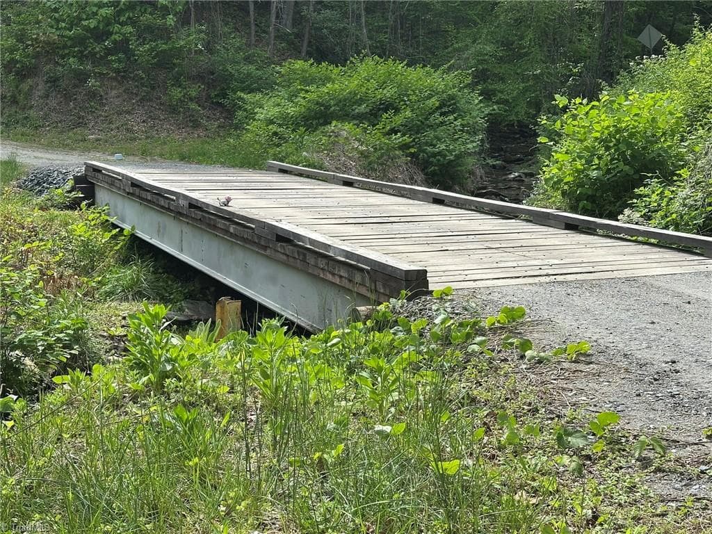
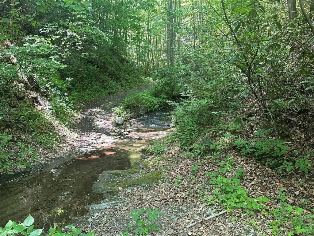
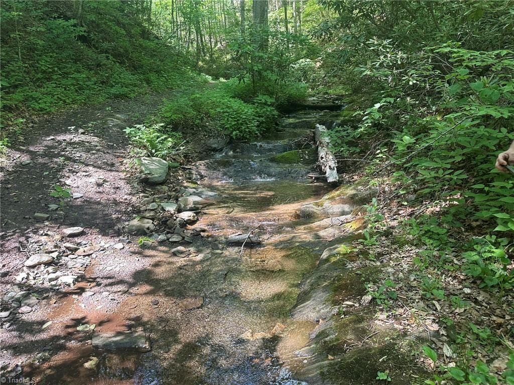
292.2± Ac per GIS - parcel adjoins the National Park Service's Blue Ridge Parkway land! Experience one of nature's most pristine tracts of mountain land, complete with dense forests, bold streams, springs, waterfalls, ridges, hollows and potential long-range views. The majority of this acreage is in the forestry tax-deferred Present Land Use Program. The remaining acreage can be added. A portion of the property was surveyed and revised in 2003. Although the subject property has frontage on Old NC Hwy 16, access is by ROW via Bear Den Ln. A Blue Ridge Conservancy parcel adjoins this property. It is also within Wilkes County's Reddies River Watershed (WS-IIP). Nature and hunting enthusiasts will be amazed at the scenery and abundance of wildlife (deer, turkey, black bear). ATV trails provide access to different parts, potential buyers are strongly advised to call ahead and set up a time to be shown by the listing agents. Elevation reaches 2,700' above sea level! Amazing streams abound!
Property details
- MLS
- Triad MLS
- MLS #
- 1220440
- Property type
- Unimproved Land
- Subdivision
- N/A
- Status
- Active
- Days on market
- N/A
- On market date
- May 20, 2026
- Stories
- N/A
- Total bathrooms
- N/A
- Garage spaces
- N/A
- Parking spaces
- N/A
- Lot size
- 292.2 acres
Location
Get directions →Nearby schools
Within 10 miles. School directory data from the National Center for Education Statistics (NCES), accessed via the Urban Institute Education Data API. Local Score is calculated by INNOVATE Real Estate; where a state rating is shown, it comes from that state's own official school report card.
- Enrollment
- 740
- Student:teacher ratio
- 15.1:1
- District
- Wilkes County Schools
- Enrollment
- 508
- Student:teacher ratio
- 16.4:1
- District
- Wilkes County Schools
- Enrollment
- 607
- Student:teacher ratio
- 14.5:1
- District
- Wilkes County Schools
Walkability
Blended score for Millers Creek's center, calculated by INNOVATE Real Estate from two sources: the EPA's National Walkability Index (street network, transit, land-use mix) and Google Places amenity data (what's actually reachable on foot from this point). 60% EPA National Walkability Index + 40% nearby-amenity density (Google Places).
Market position
How this listing compares to current activity in Millers Creek, from live MLS data.
Mortgage calculator
Estimate only - actual rate and payment depend on your lender, credit, and loan program.
Adjust tax / insurance estimates
Similar homes you might like
Data source: Listing information provided by Triad MLS via Trestle/CoreLogic. Last updated May 20, 2026.
Information herein deemed reliable but not guaranteed; all measurements, school assignments, HOA fees, taxes, and feature lists are approximate and should be independently verified. Equal Housing Opportunity.