
$399,900
About this home
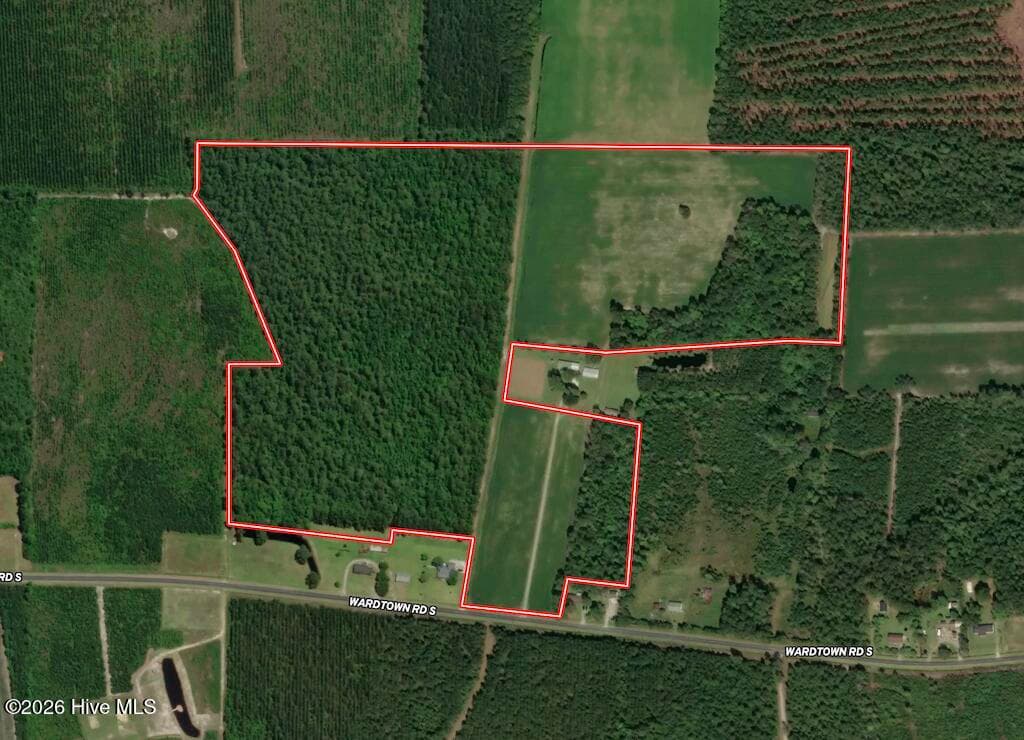
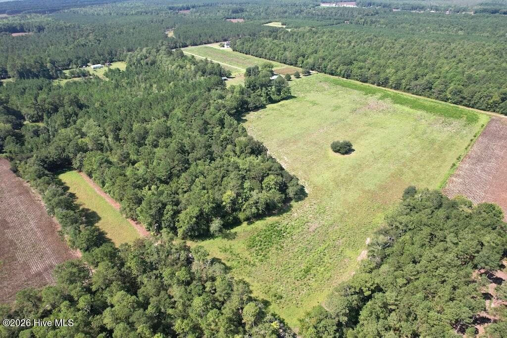
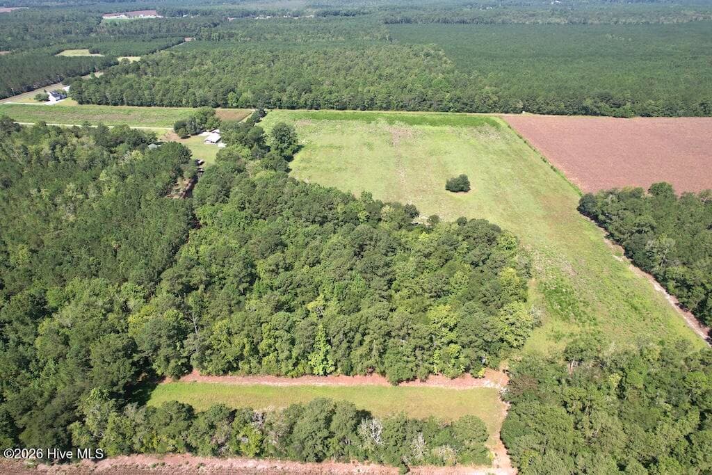
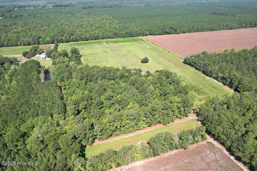
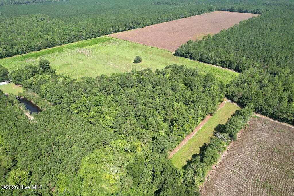
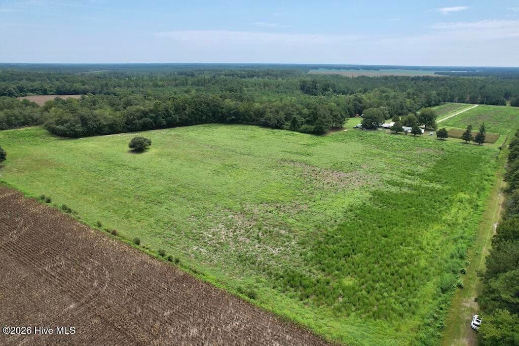
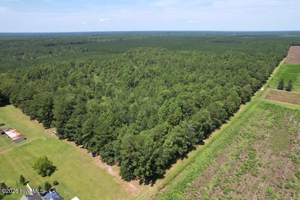
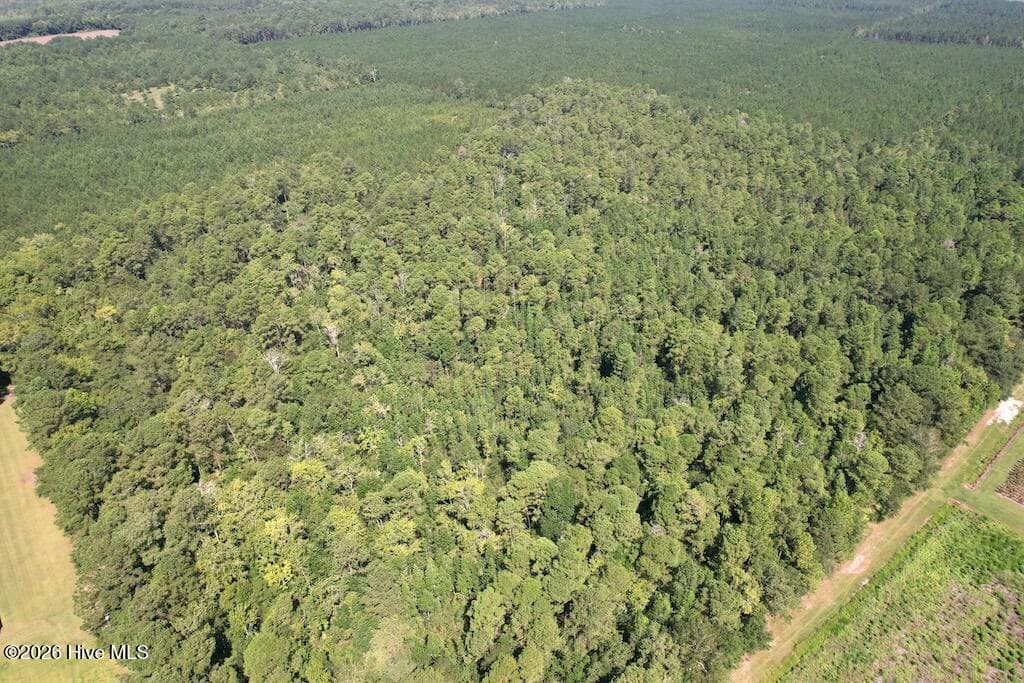
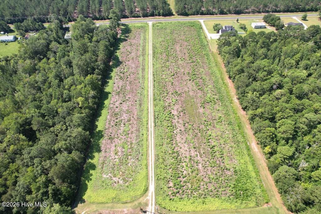
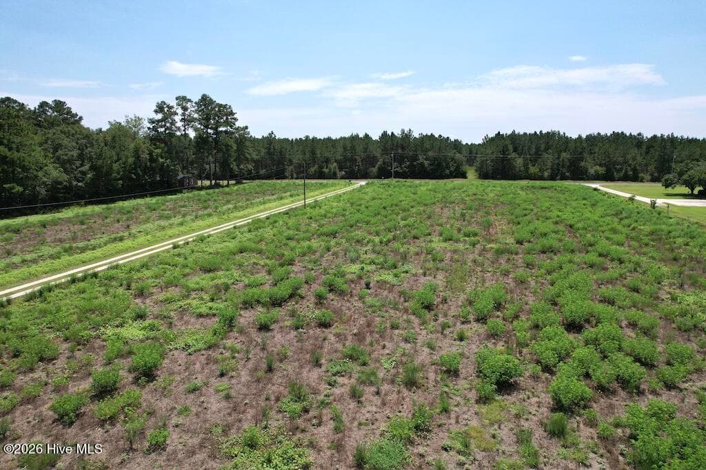
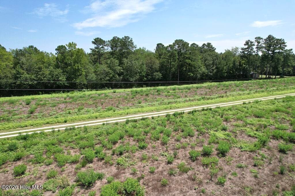
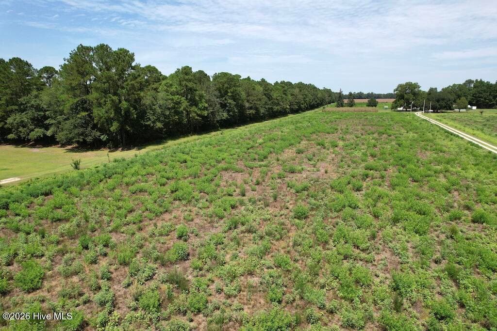
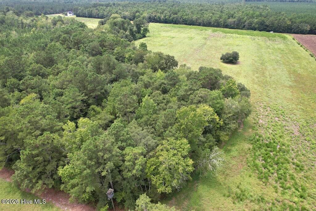
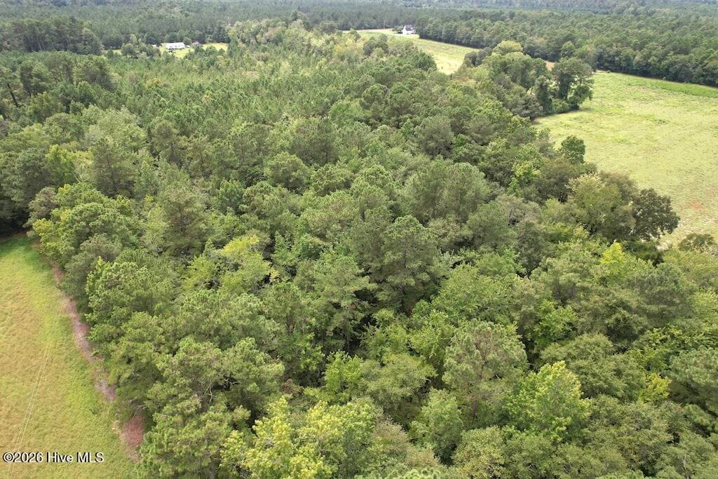
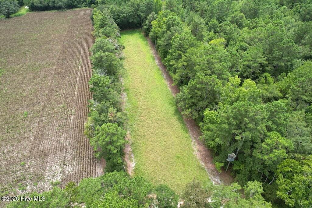
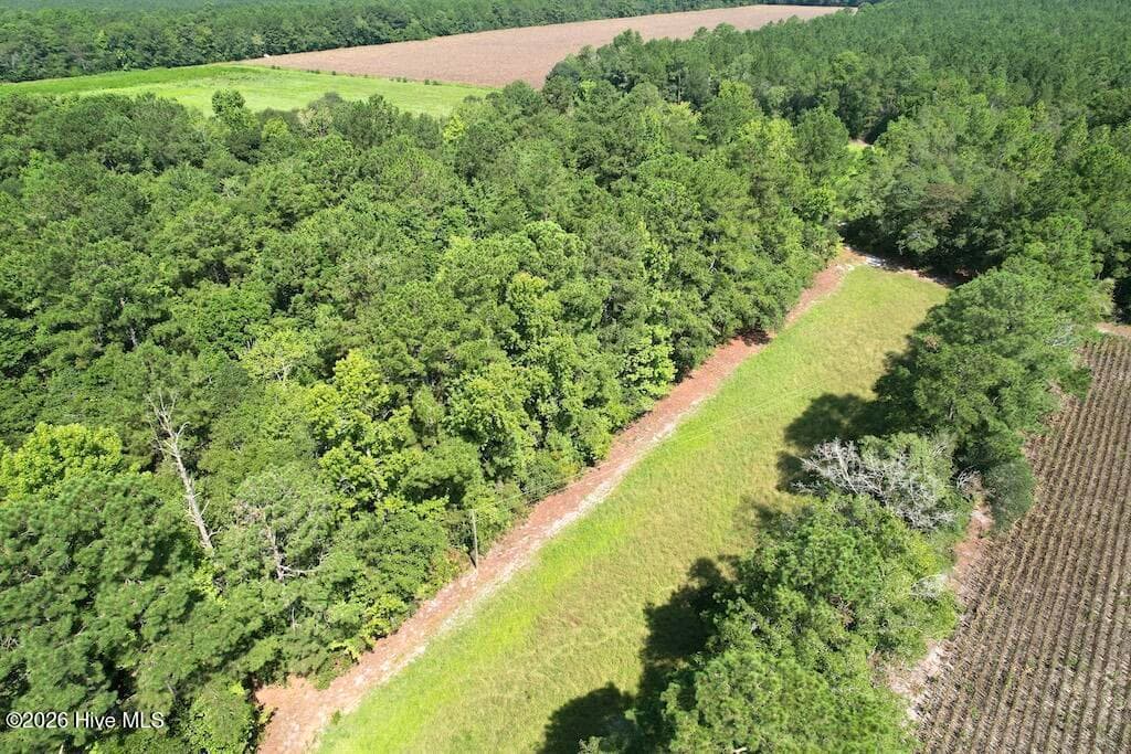
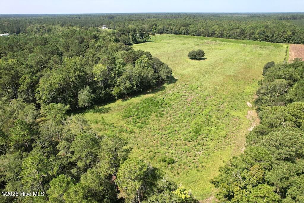
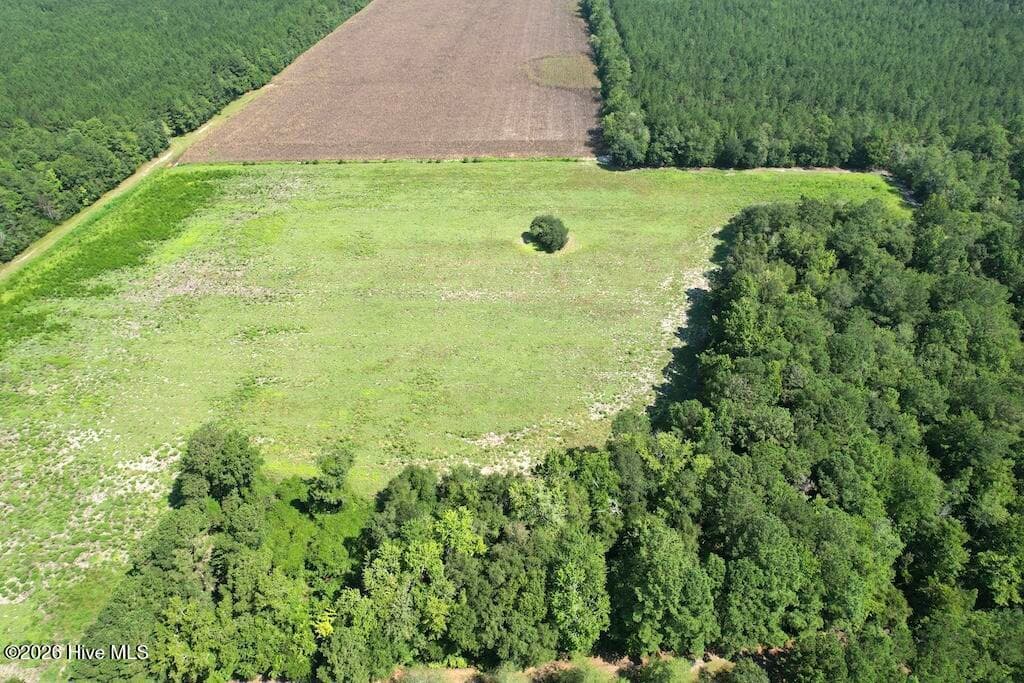
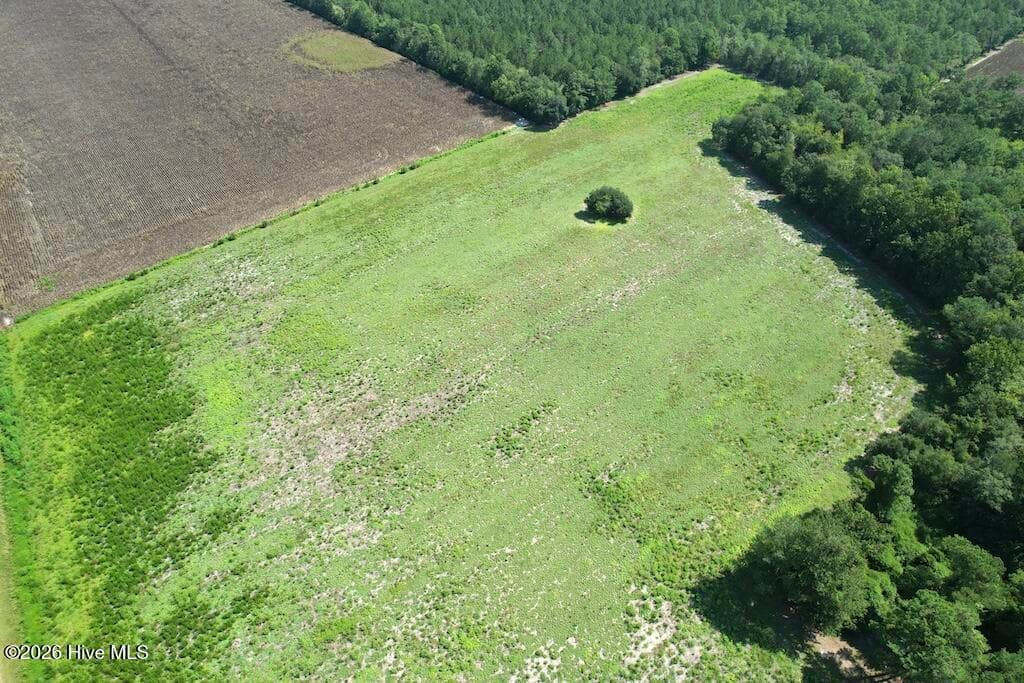
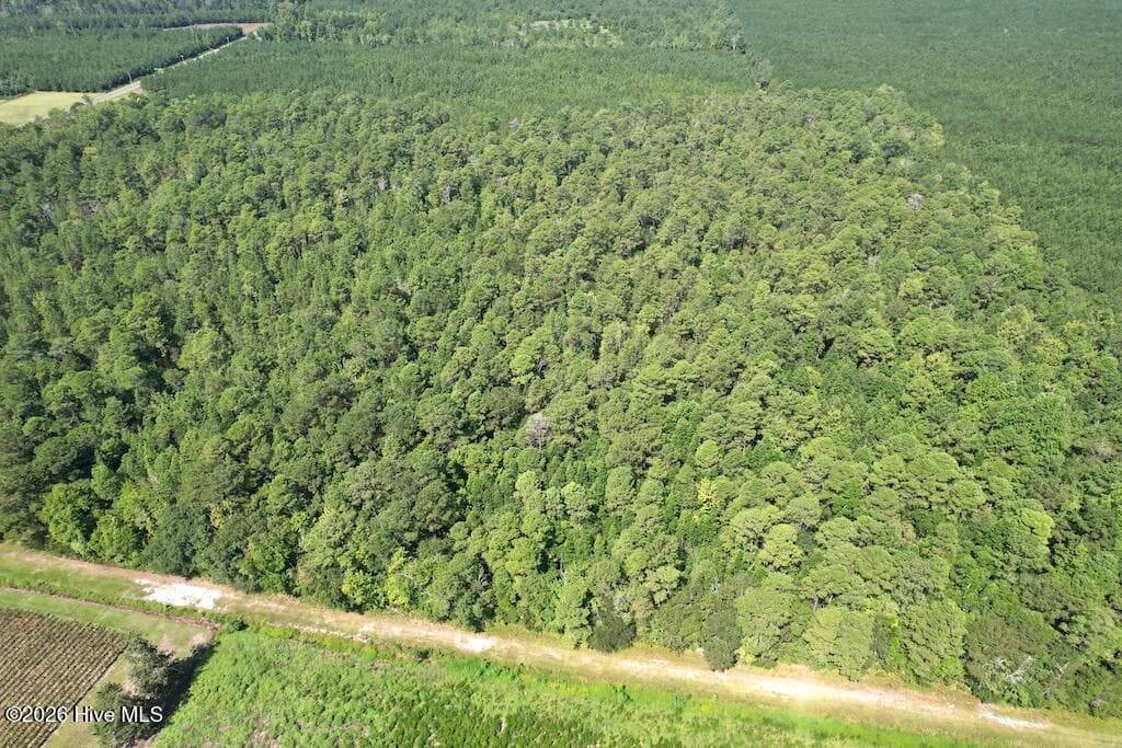
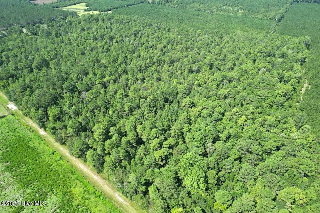
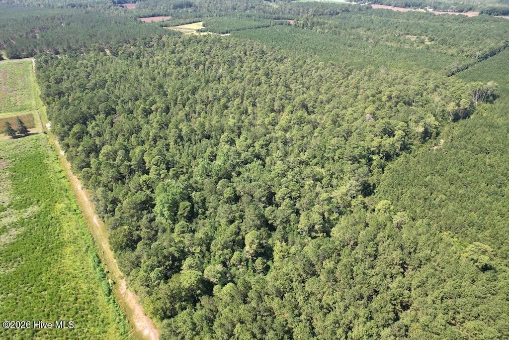
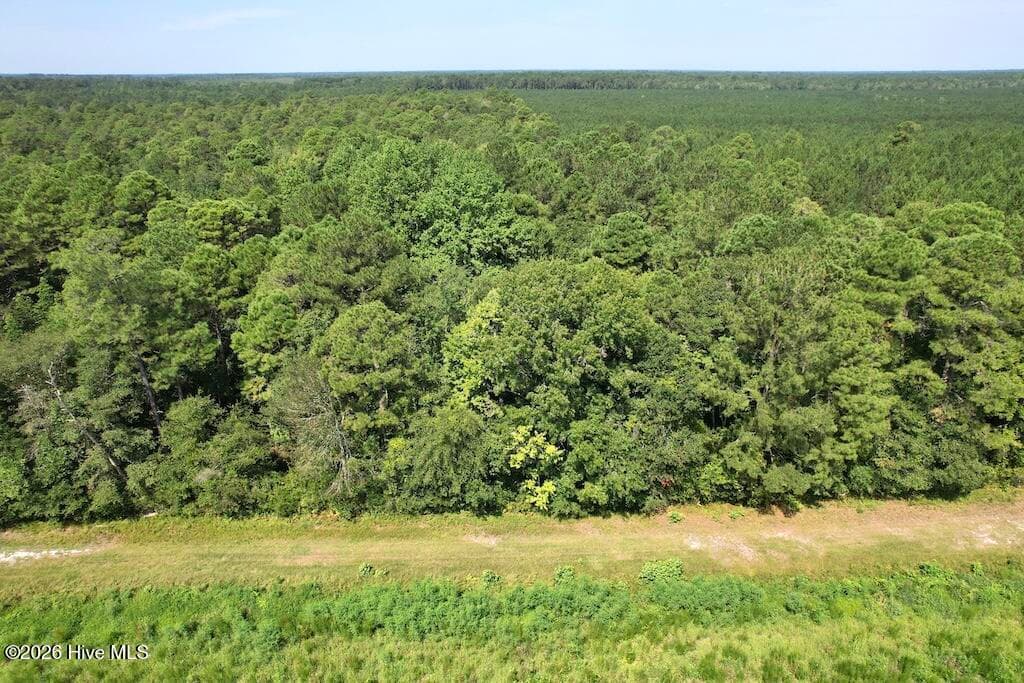
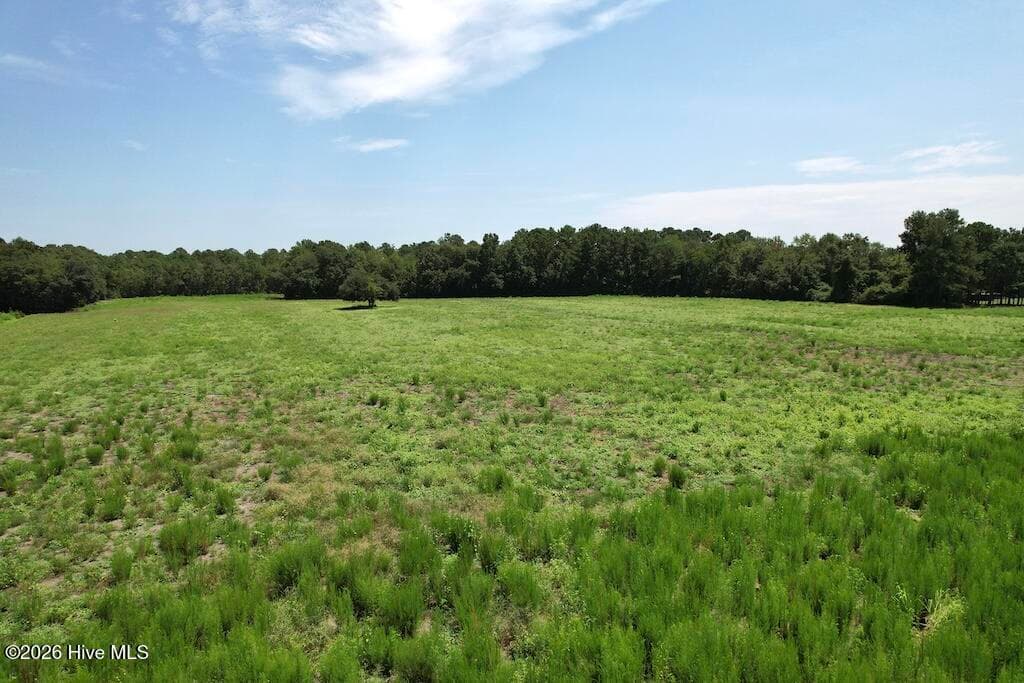
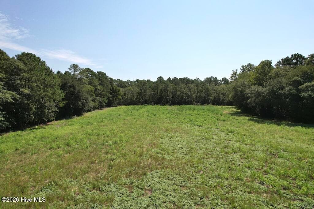
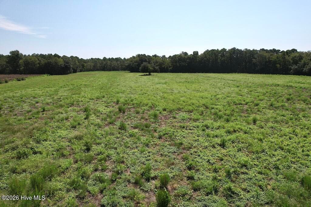
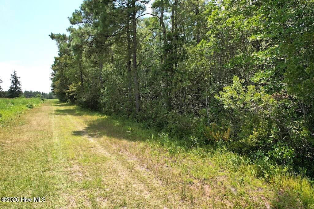
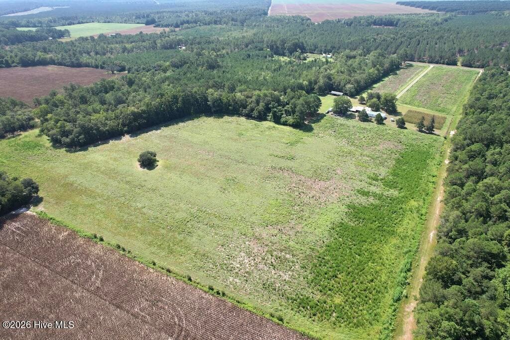
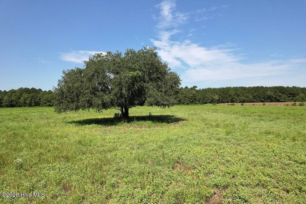
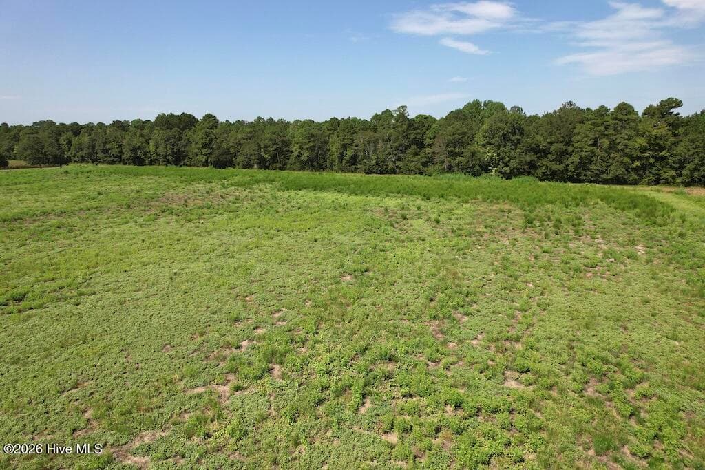
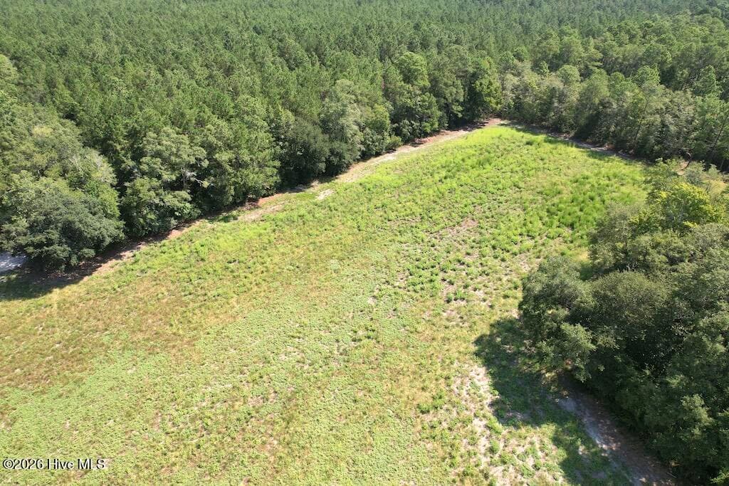
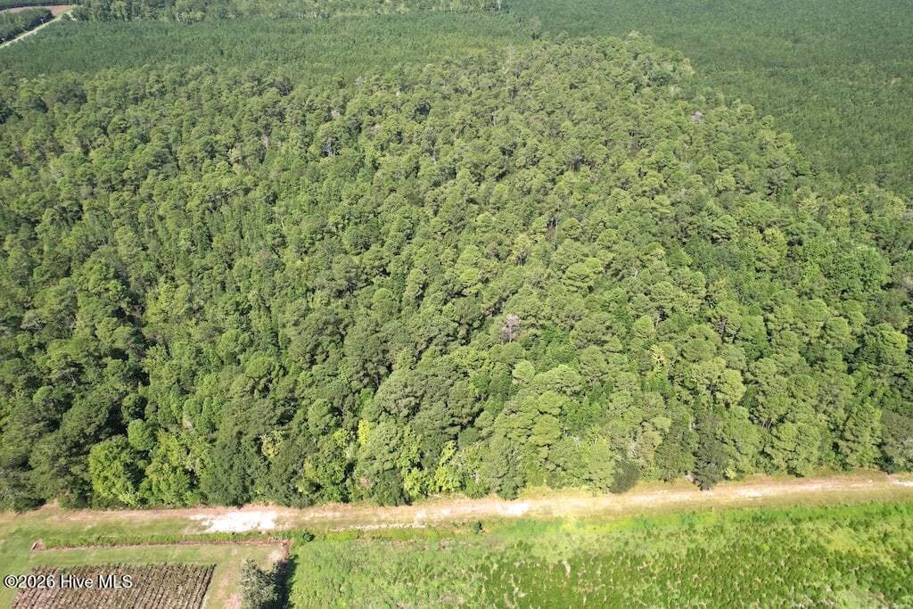
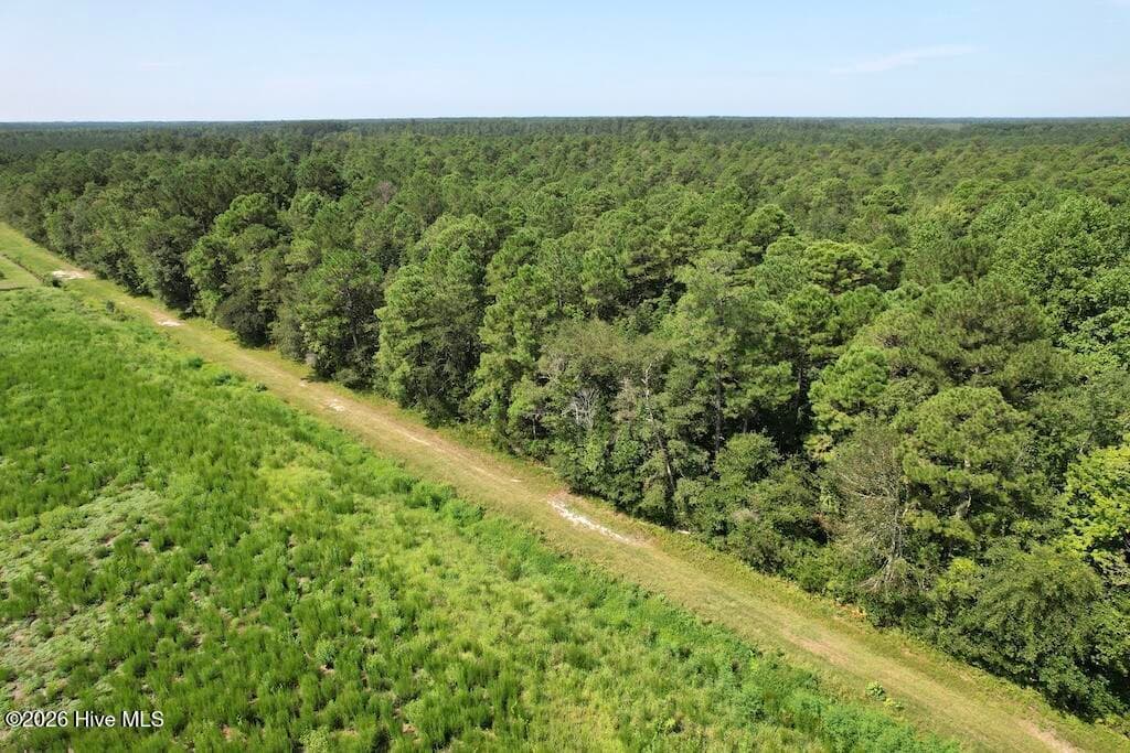
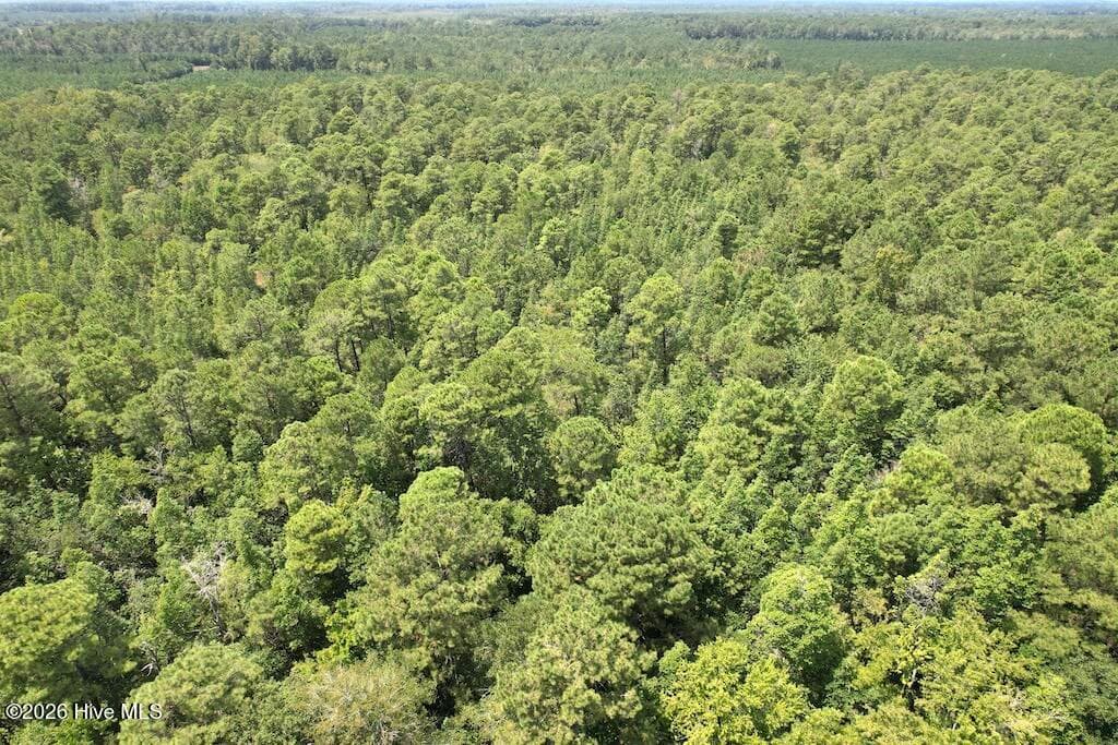
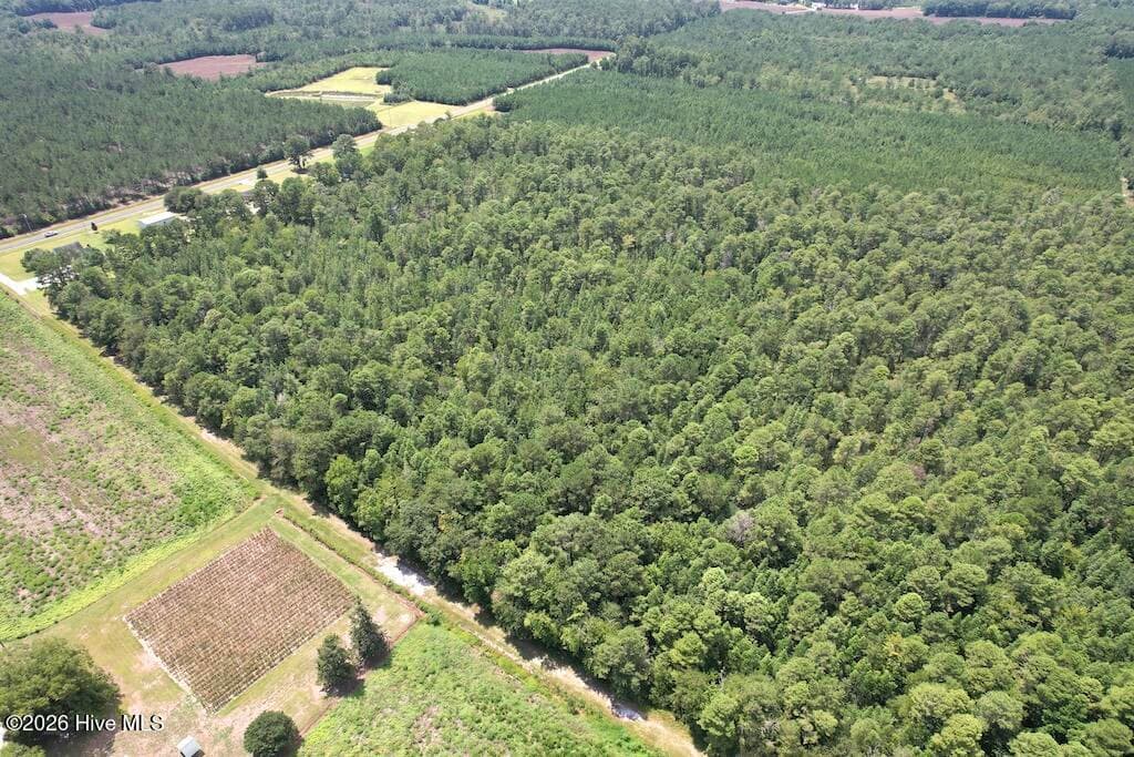
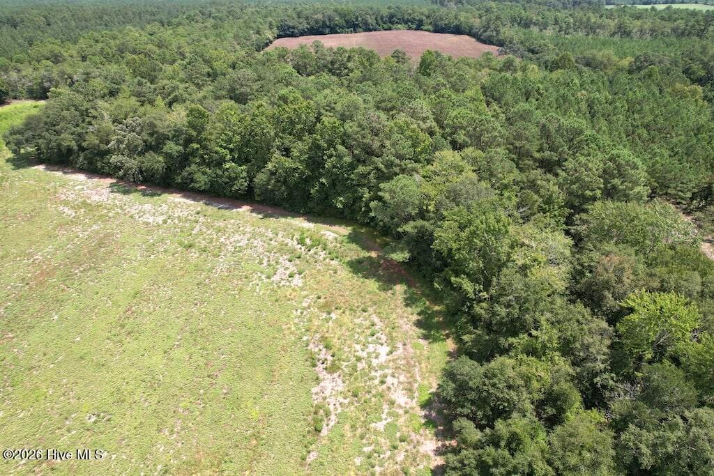
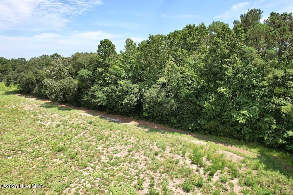
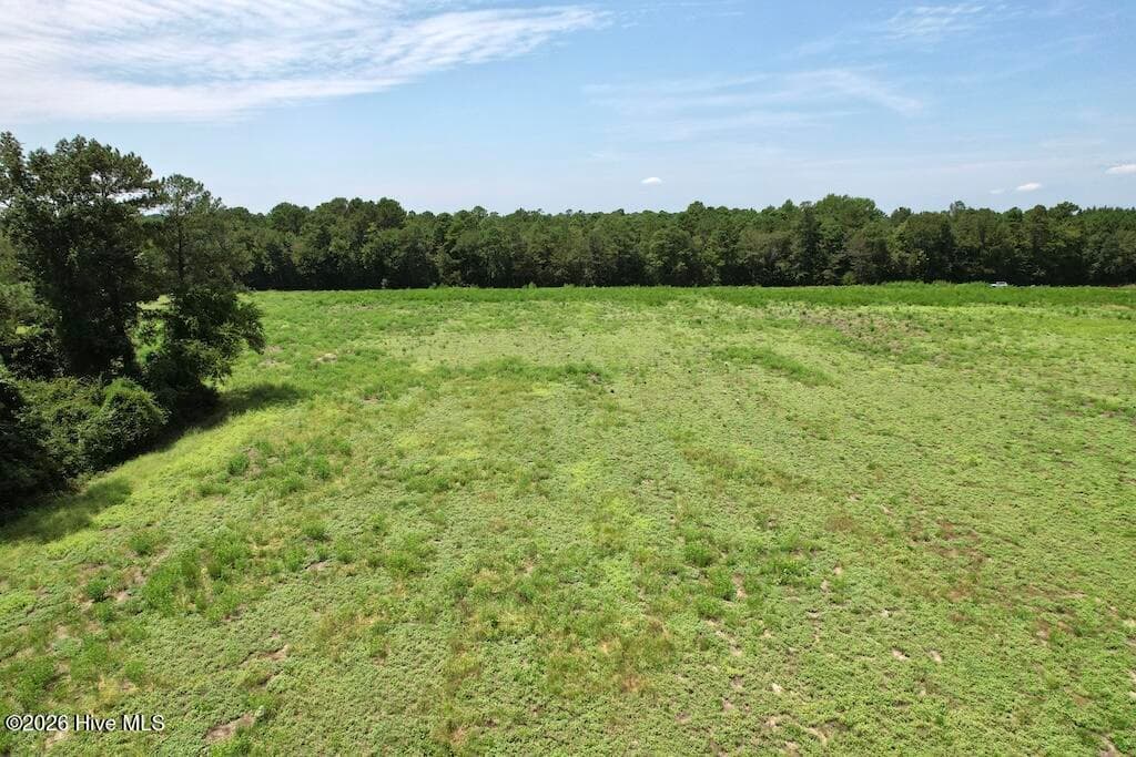
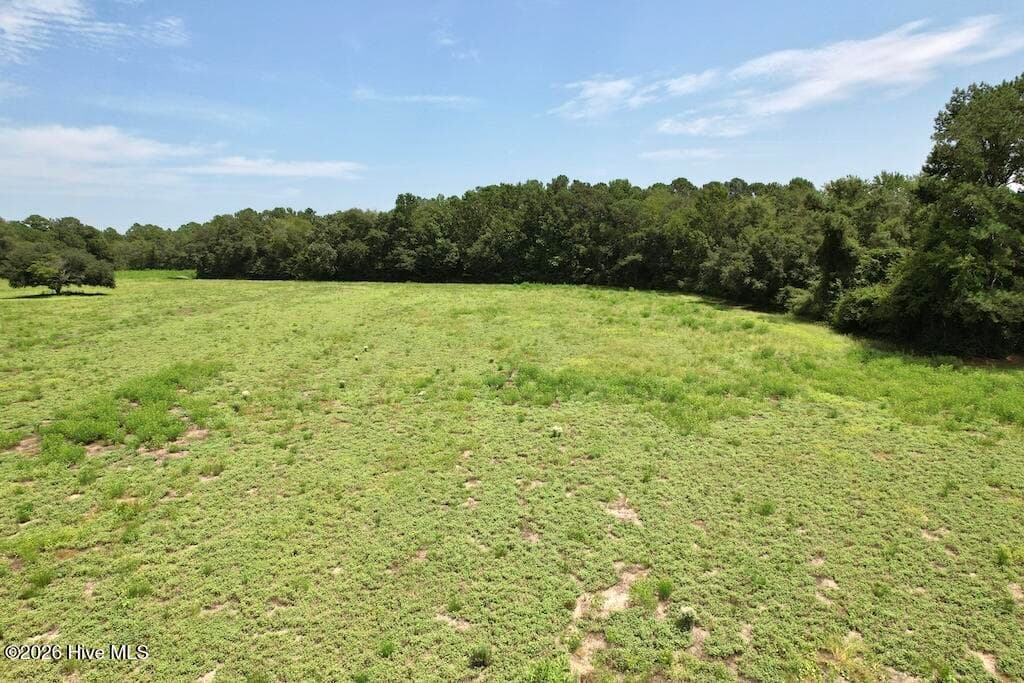
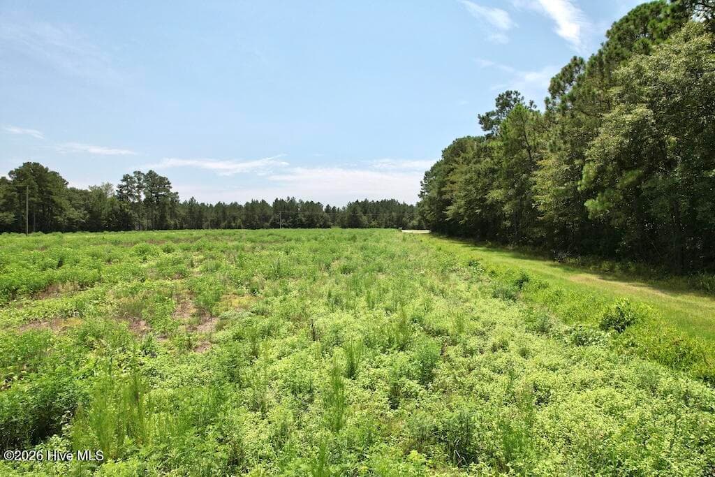
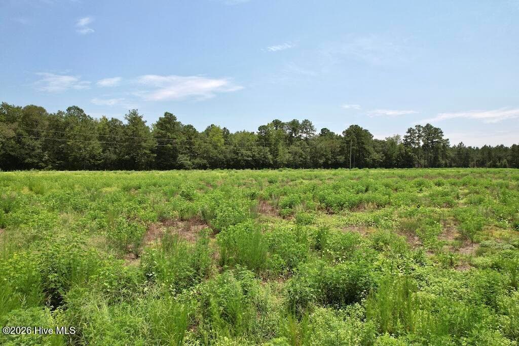
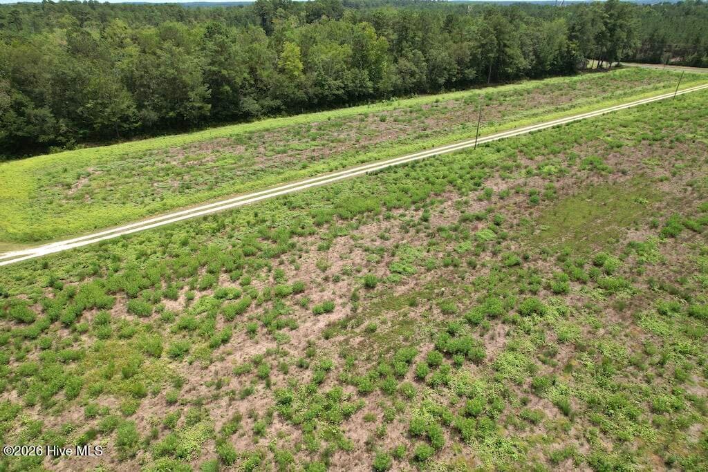
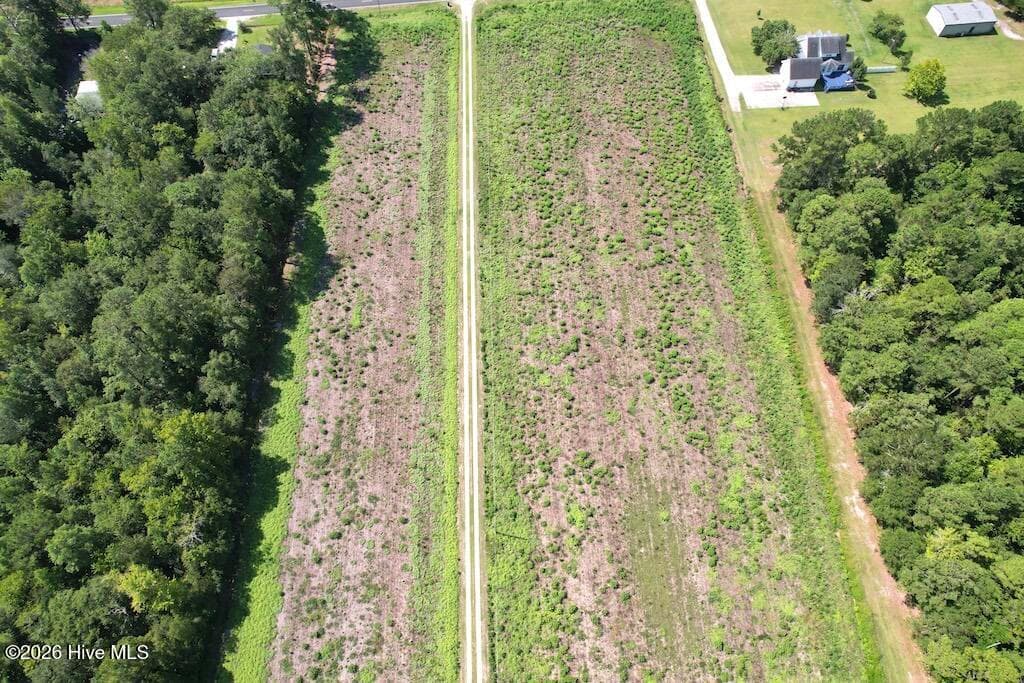
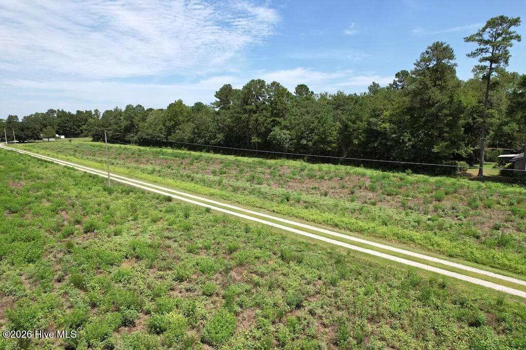
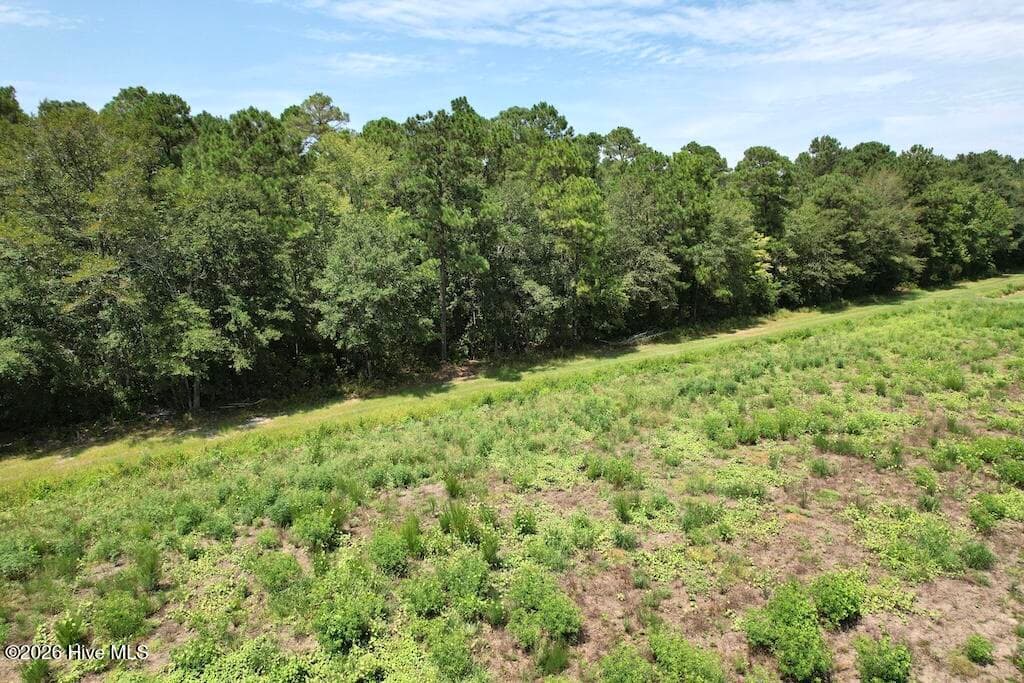
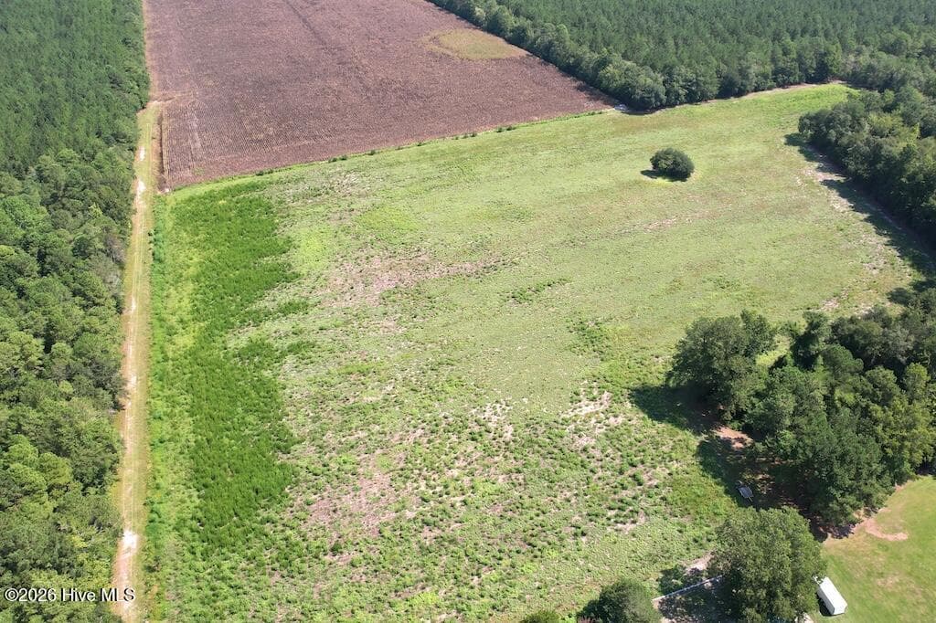
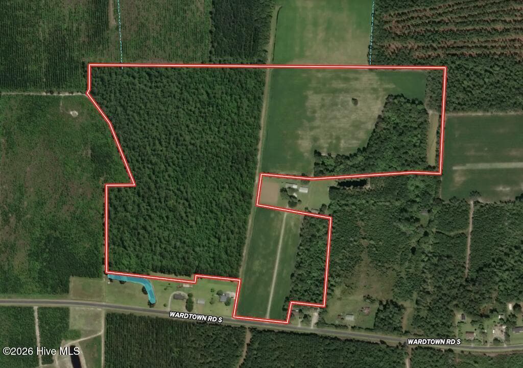
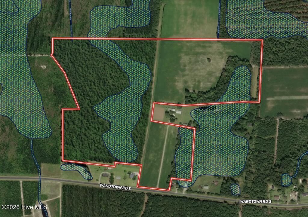
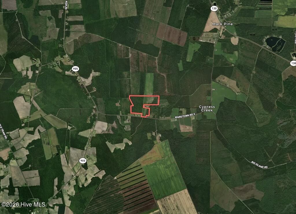
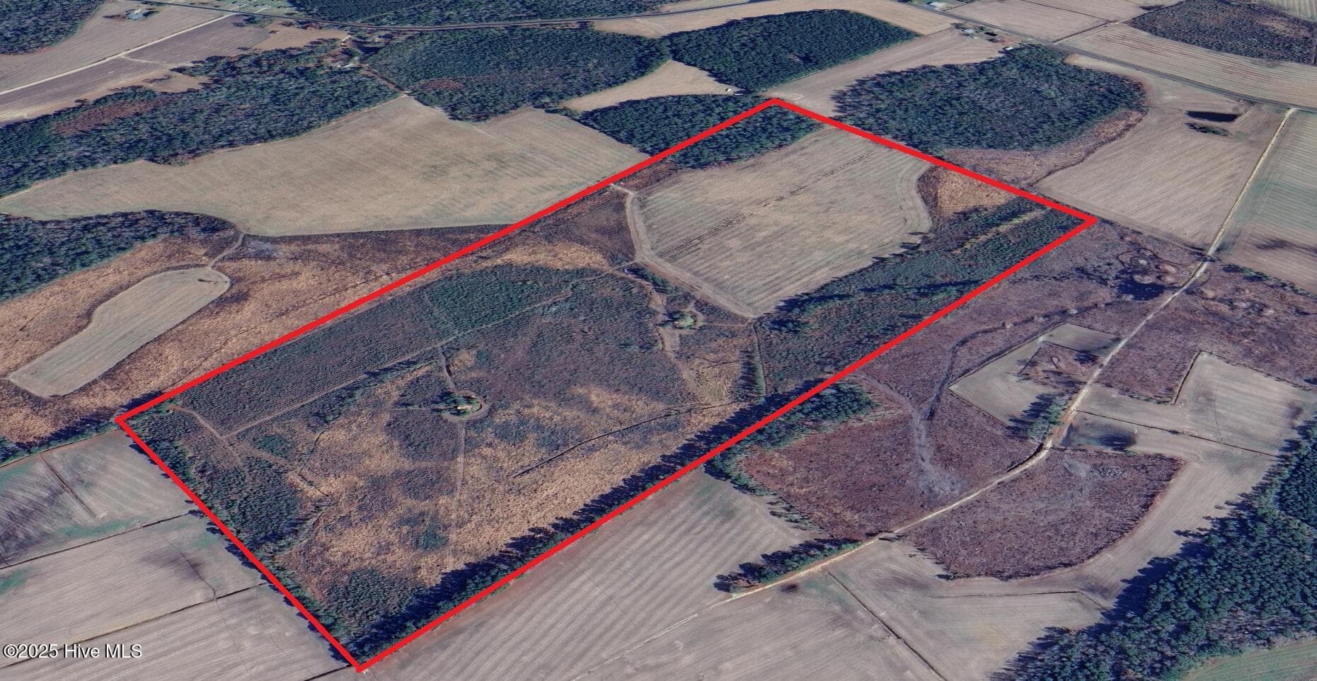
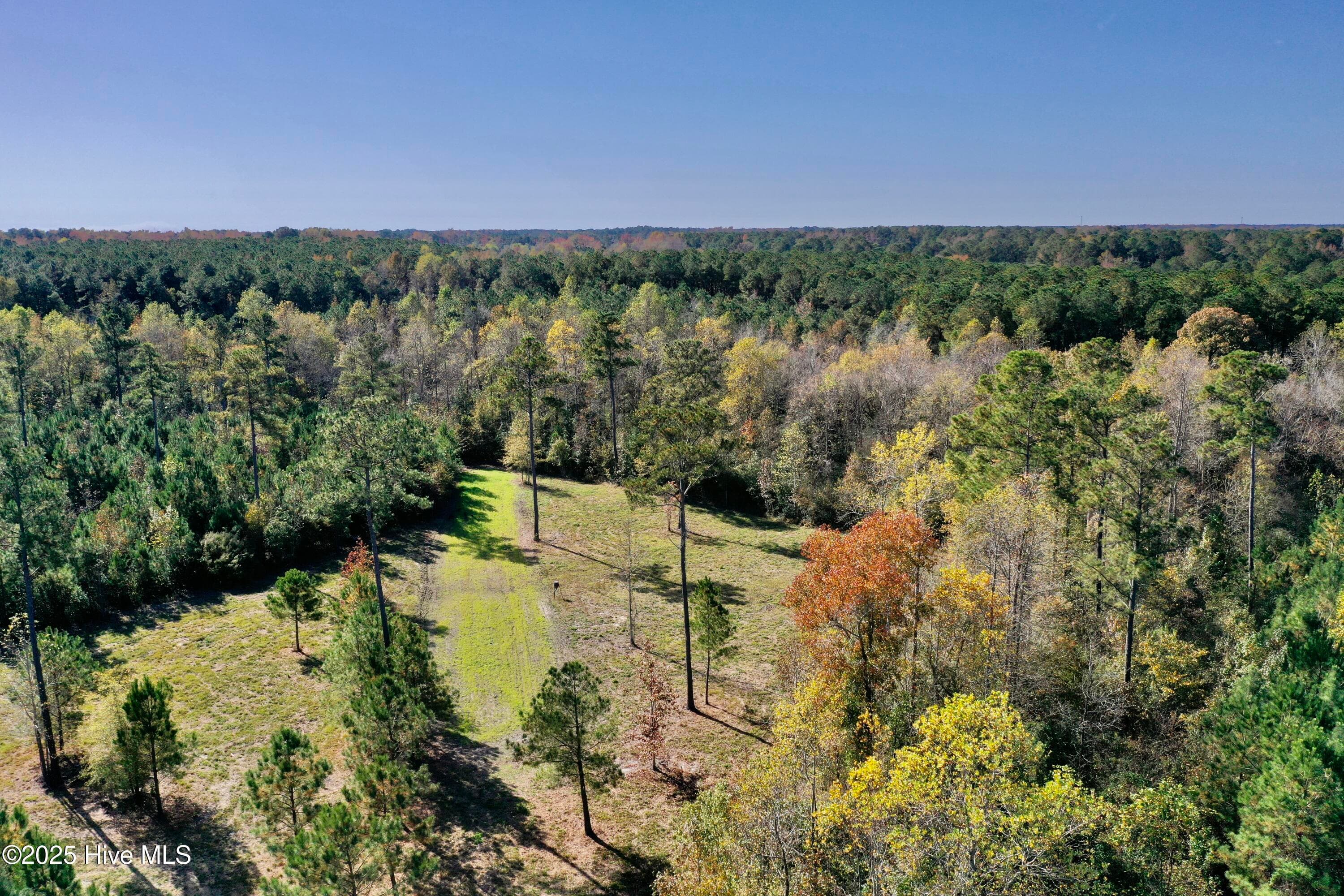
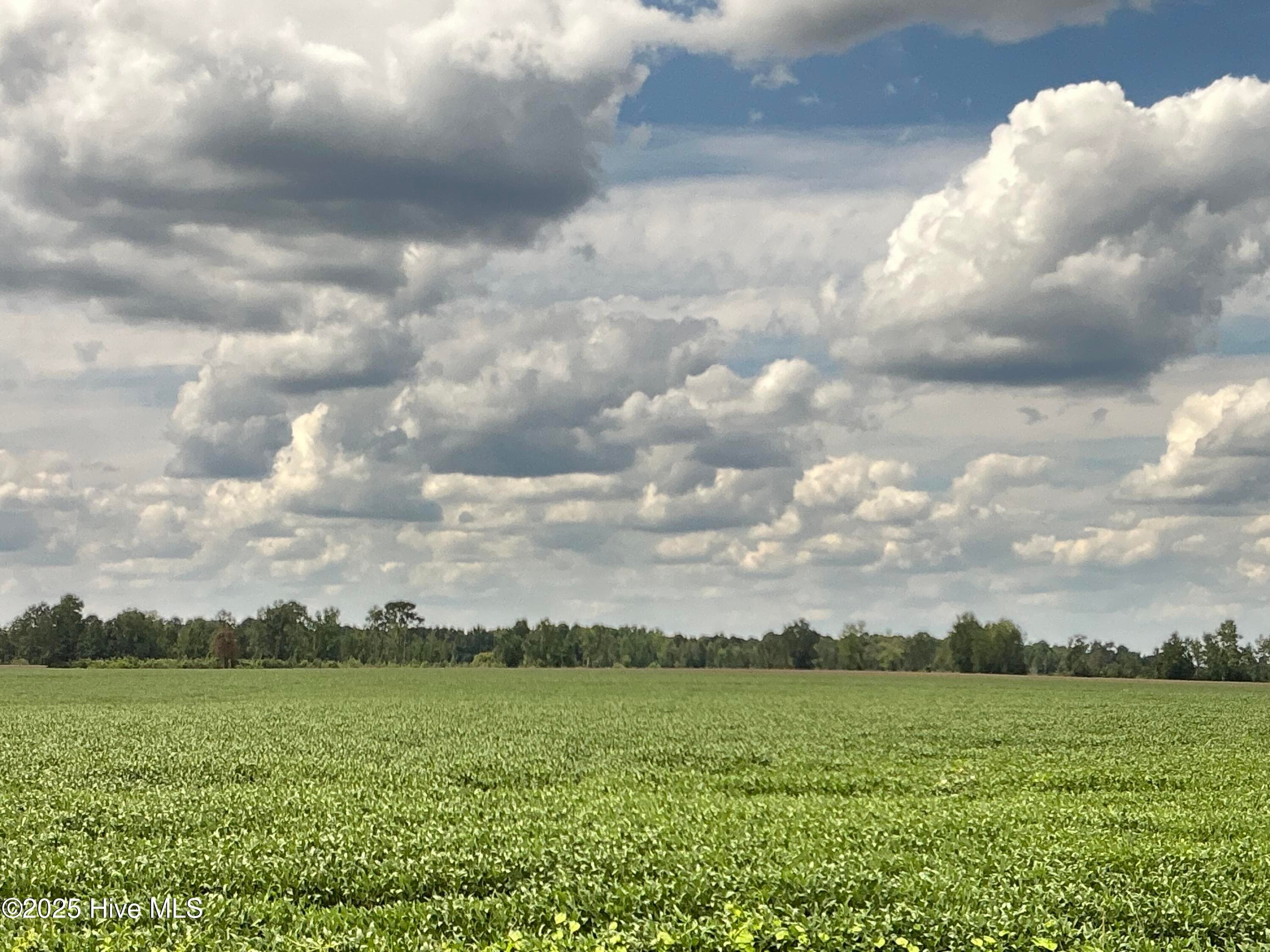
Located just south of Whiteville on Wardtown Road South, this 70.4-acre property offers a diverse mixture of farmland and timberland with recreational, agricultural, and homesite potential. Featuring approximately 395 feet of road frontage and a recently completed survey, this property presents an excellent opportunity for anyone looking to invest in rural land in Columbus County. The property is conveniently located near Highway 905, Highway 130, and Highway 701, providing easy access while maintaining a quiet, rural setting. Whiteville is only a short drive away, and the property is also just minutes from Lake Waccamaw and Lake Waccamaw State Park. Of the 70.4 total acres, approximately 22 acres consist of farmland. The property features a variety of soils, including Leon sand, Foreston loamy fine sand, Echaw loamy sand, Torhunta fine sandy loam, Murville fine sand, and Stallings sandy loam. According to the soil report, Foreston loamy fine sand and Stallings sandy loam are classified as Capability Class 2w soils, while Torhunta fine sandy loam is classified as Capability Class 3w. The soil report shows NCCPI ratings ranging from 30 to 74, with Torhunta fine sandy loam carrying the highest NCCPI rating at 74, followed by Stallings sandy loam at 68 and Foreston loamy fine sand at 62. The remaining 48+/- acres consist primarily of timberland. The timber is predominantly pine with hardwoods scattered throughout the property, providing additional diversity and wildlife habitat. Approximately 15.52 acres of the timberland are designated wetlands. This designation does not necessarily indicate standing water but reflects soils with higher-than-average moisture characteristics. None of the property is located within the FEMA-designated floodplain. An easement provides access to the rear portion of the property, including a secluded +/-14.91-acre field. This back field adds another dimension to the property, whether utilized for continued agricultural production, wildlife management, or recreational purposes. There is also an approximately 1-acre opening tucked away in the northeastern portion of the property. Its secluded location makes it an excellent location for a food plot or hunting setup. With a combination of agricultural fields, timber, wooded edges, and secluded openings, the property offers excellent habitat diversity for whitetail deer and wild turkey. The mixture of farmland and timberland also provides several possibilities for a future owner. The road frontage and accessibility create potential for a secluded homesite, while the agricultural acreage can continue to be farmed. The wooded acreage provides recreational opportunities, privacy, and potential long-term timber value. Whether you're searching for an agricultural investment, recreational and hunting property, secluded homesite, or simply an opportunity to own a sizable tract of land in southeastern North Carolina, this 70.4-acre property in Columbus County deserves serious consideration.
Property details
- MLS
- Hive MLS
- MLS #
- 100596940
- Property type
- Mixed Use
- Subdivision
- Not In Subdivision
- Status
- Active
- Days on market
- 61
- On market date
- August 17, 2026
- Stories
- N/A
- Total bathrooms
- N/A
- Garage spaces
- N/A
- Parking spaces
- N/A
- Lot size
- 70.4 acres
Location
Get directions →Nearby schools
Within 10 miles. School directory data from the National Center for Education Statistics (NCES), accessed via the Urban Institute Education Data API. Local Score is calculated by INNOVATE Real Estate; where a state rating is shown, it comes from that state's own official school report card.
- Enrollment
- 269
- Student:teacher ratio
- 13.5:1
- District
- Columbus County Schools
- Enrollment
- 212
- Student:teacher ratio
- 17.7:1
- District
- Columbus County Schools
- Enrollment
- 681
- Student:teacher ratio
- 15.5:1
- District
- Columbus County Schools
Walkability
Blended score for Whiteville's center, calculated by INNOVATE Real Estate from two sources: the EPA's National Walkability Index (street network, transit, land-use mix) and Google Places amenity data (what's actually reachable on foot from this point). 60% EPA National Walkability Index + 40% nearby-amenity density (Google Places).
Mortgage calculator
Estimate only - actual rate and payment depend on your lender, credit, and loan program.
Adjust tax / insurance estimates
Similar homes you might like
Data source: Listing information provided by Hive MLS via Trestle/CoreLogic. Last updated 28 days ago.
Information herein deemed reliable but not guaranteed; all measurements, school assignments, HOA fees, taxes, and feature lists are approximate and should be independently verified. Equal Housing Opportunity.