


$350,000
About this home
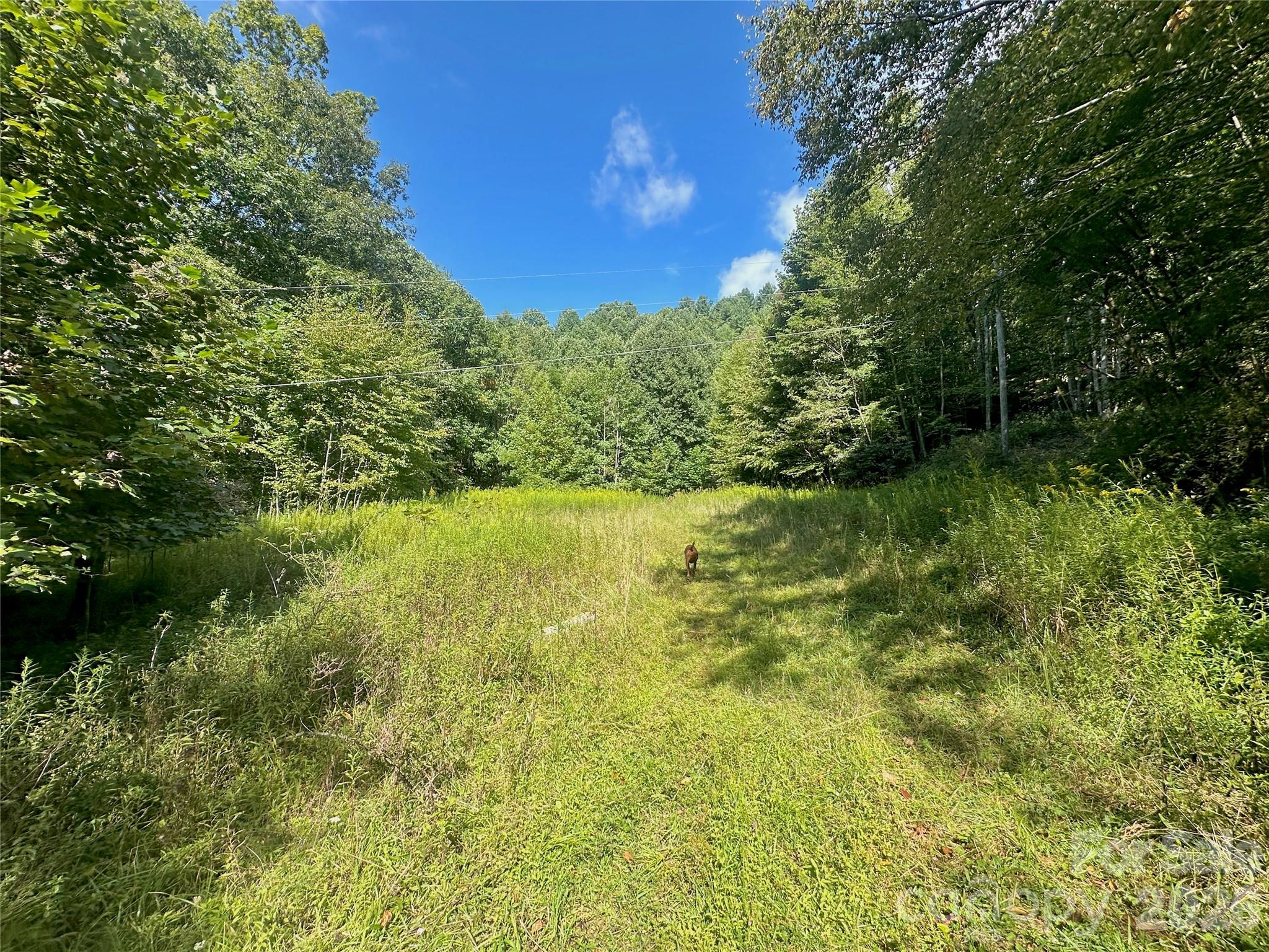
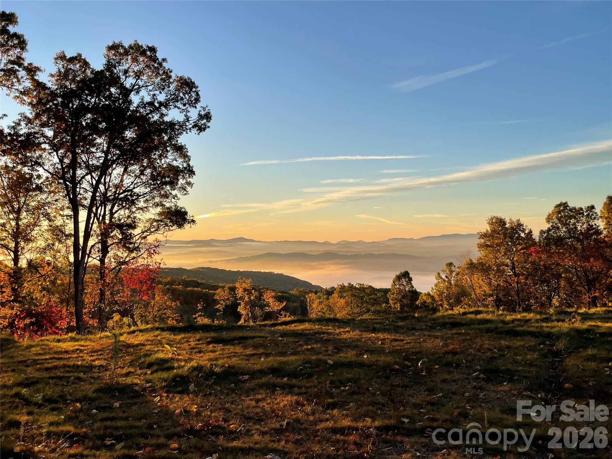
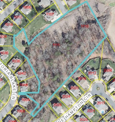
Welcome to Old Anderson Quarry, a unique undeveloped acreage tract right outside of Boone. The property features a large flat and cleared area for a building site and yard space with an existing well and septic already in place. Power has been run to the site as well. The land has a number of unique attributes with areas that could feature a mountain view with tree clearing, bold springs and a 65+ year old rock quarry. The rock quarry could be retired and serve as a focal point on the property or possibly be utilized. The location is central to everything in the High Country, Boone & Valle Crucis are less than 4 miles away, and Blowing Rock/Banner Elk are 12~ miles away. This property has been in one family for well over 65+ years and this is the first time that the land has been listed for sale. The acreage creates a backdrop for privacy, trails or light hunting. Old Anderston Quarry Rd is a 10' wide private gravel road which needs work. Property may be conducive to multiple building sites but development would be limited due to the 10' right of way. No HOA or deed restrictions. Property shown by appointment only. No drive-bys. Seller related to listing broker.
Property details
- MLS
- Canopy MLS
- MLS #
- CAR4408498
- Property type
- Acreage
- Subdivision
- N/A
- Status
- Active
- Days on market
- N/A
- On market date
- July 27, 2026
- Stories
- N/A
- Total bathrooms
- N/A
- Garage spaces
- N/A
- Parking spaces
- N/A
- Lot size
- N/A
Location
Get directions →Nearby schools
Within 10 miles. School directory data from the National Center for Education Statistics (NCES), accessed via the Urban Institute Education Data API. Local Score is calculated by INNOVATE Real Estate; where a state rating is shown, it comes from that state's own official school report card.
- Enrollment
- 300
- Student:teacher ratio
- 10.7:1
- District
- Watauga County Schools
- Enrollment
- 1,236
- Student:teacher ratio
- 12.0:1
- District
- Watauga County Schools
Walkability
Blended score for Vilas's center, calculated by INNOVATE Real Estate from two sources: the EPA's National Walkability Index (street network, transit, land-use mix) and Google Places amenity data (what's actually reachable on foot from this point). 60% EPA National Walkability Index + 40% nearby-amenity density (Google Places).
Mortgage calculator
Estimate only - actual rate and payment depend on your lender, credit, and loan program.
Adjust tax / insurance estimates
Similar homes you might like
Data source: Listing information provided by Canopy MLS (carolina) via Trestle/CoreLogic. Last updated July 28, 2026.
Information herein deemed reliable but not guaranteed; all measurements, school assignments, HOA fees, taxes, and feature lists are approximate and should be independently verified. Equal Housing Opportunity.