


$995,000
About this home
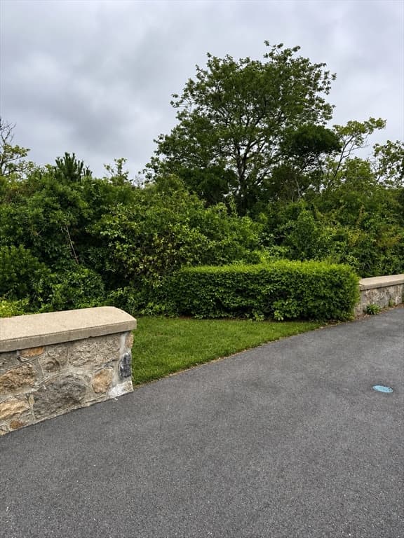
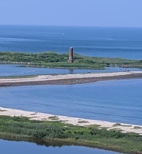
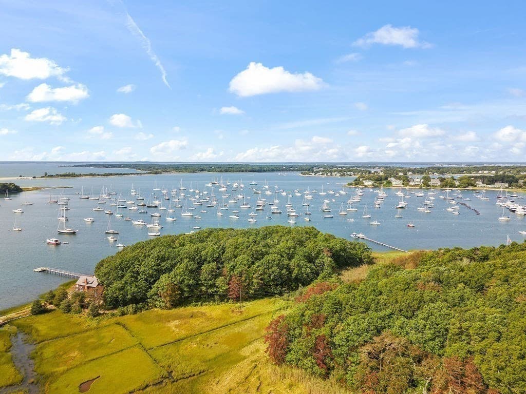
For a taste of old New England island magic without the development or crowds of Cape Cod, Martha's Vineyard, or Nantucket, bucolic Cuttyhunk Island, which is accessible only by boat or a small seaplane that lands in the harbor. Cuttyhunk is the Southwestern end of the Elizabeth Islands, an isolated 16-mi chain extending from Woods Hole and separating Vineyard Sound from Buzzards Bay. The rest of these lovely islands (Noamesset, Uncatena, Naushon, Nashawena, and Pasque) are privately owned and inaccessible to the public. Cuttyhunk Island is the outermost of the Elizabeth Islands in Massachusetts. A small outpost for the harvesting of sassafras was occupied for a few weeks in 1602, arguably making it the first English settlement in New England. Cuttyhunk is located between Buzzards Bay to the north and Vineyard Sound to the south.Cuttyhunk Island is the outermost and westernmost of the Elizabeth Islands in Massachusetts, sitting between Buzzards Bay and Vineyard Sound. Measuring about 1.5 miles long, it is a secluded, car-free summer escape known for sport fishing, walking trails, pristine beaches, and a tiny year-round population. This lot has wonderful waterviews of Buzzards Bay, Cuttyhunk Harbor and Vineyard Sound.
Property details
- MLS
- MLS Property Information Network
- MLS #
- 73563282
- Property type
- Residential
- Subdivision
- N/A
- Status
- Active
- Days on market
- 74
- On market date
- August 12, 2026
- Stories
- N/A
- Total bathrooms
- N/A
- Garage spaces
- N/A
- Parking spaces
- N/A
- Lot size
- 0.86 acres
Location
Get directions →Nearby schools
Within 10 miles. School directory data from the National Center for Education Statistics (NCES), accessed via the Urban Institute Education Data API. Local Score is calculated by INNOVATE Real Estate; where a state rating is shown, it comes from that state's own official school report card.
- Enrollment
- 57
- Student:teacher ratio
- 14.3:1
- District
- Up-Island Regional
Walkability
Blended score for Gosnold's center, calculated by INNOVATE Real Estate from two sources: the EPA's National Walkability Index (street network, transit, land-use mix) and Google Places amenity data (what's actually reachable on foot from this point). 60% EPA National Walkability Index + 40% nearby-amenity density (Google Places).
Mortgage calculator
Estimate only - actual rate and payment depend on your lender, credit, and loan program.
Adjust tax / insurance estimates
Similar homes you might like

Data source: Listing information provided by MLS Property Information Network via Trestle/CoreLogic. Last updated August 17, 2026.
Information herein deemed reliable but not guaranteed; all measurements, school assignments, HOA fees, taxes, and feature lists are approximate and should be independently verified. Equal Housing Opportunity.